Hiking and Toerggelen near Bressanone: The Monte Ponente is the mountain slope on the west side of the valley basin
Image gallery: Monte Ponente


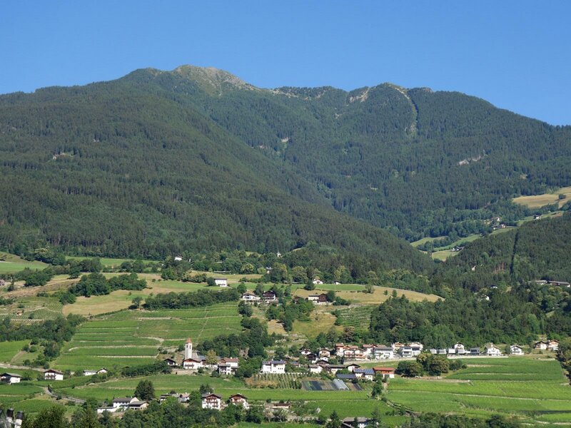
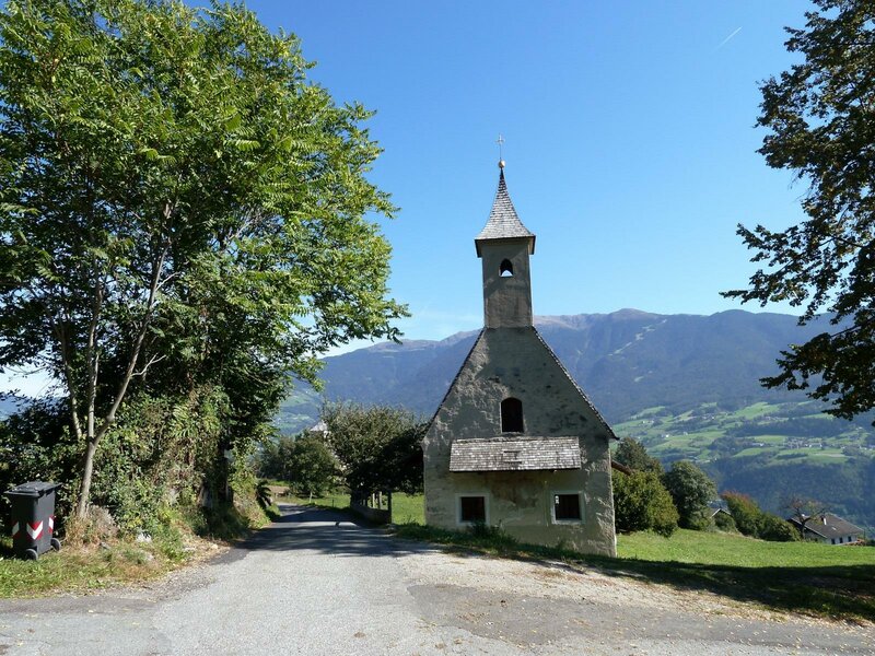
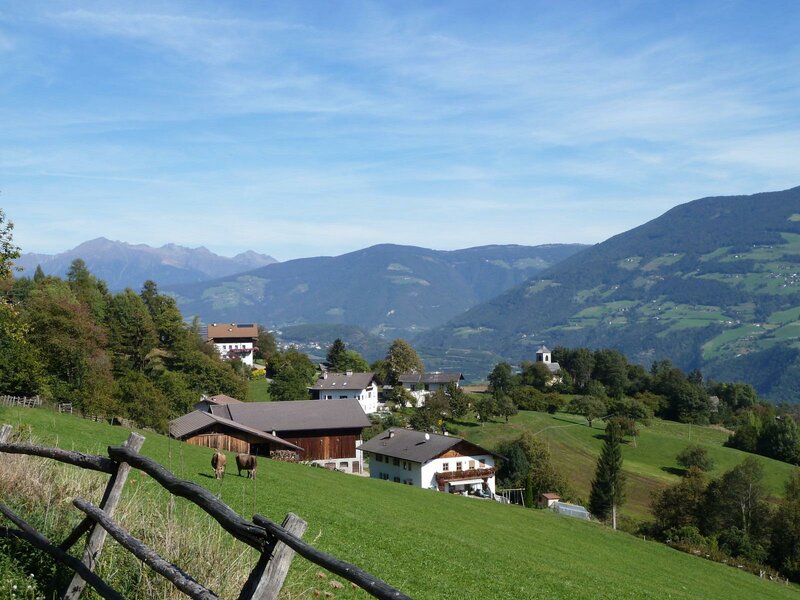
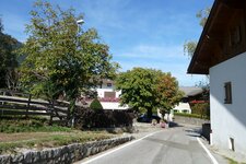
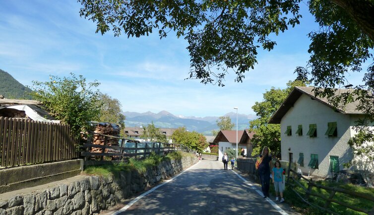
Monte Ponente refers to the western mountain slope of the Bressanone valley basin. Several scattered settlements nestle on its slopes, all belonging to the municipality of Bressanone: Tiles, Caredo, Perara, Pinzago, Tecelinga, Scezze, Pian di Sotto, and Mahr. They benefit from the mild climate of the Valle Isarco. The German name of the mountain is Pfeffersberg - Pepper Mountain.
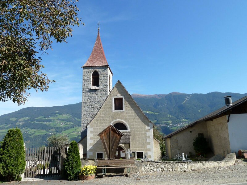
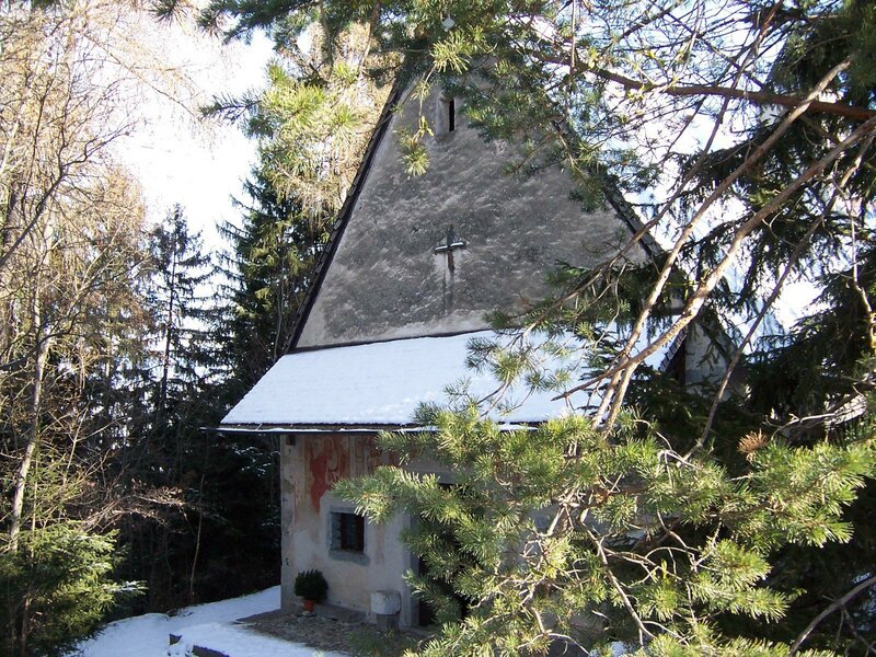
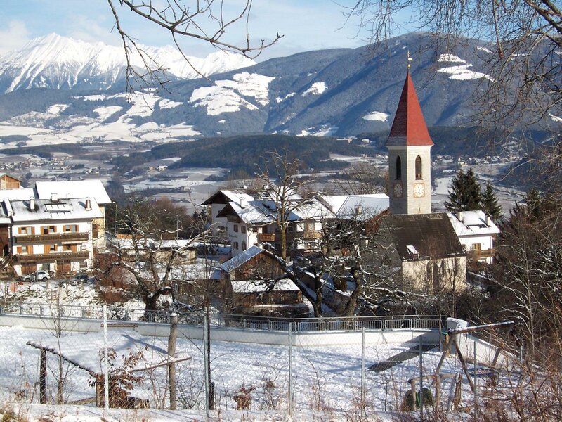
Opposite, on the other side of the valley, rises the Plose. There isn't a real central village. Most houses cluster in Pinzago around the Church of the Saints Ulrich and Valentine. The local Peter Mayr Pfeffersberg brass band has a long tradition and is considered one of the best in South Tyrol. A public bus connects Bressanone with Scezze, Tiles, and Pinzago every few minutes.
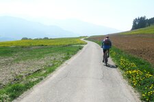
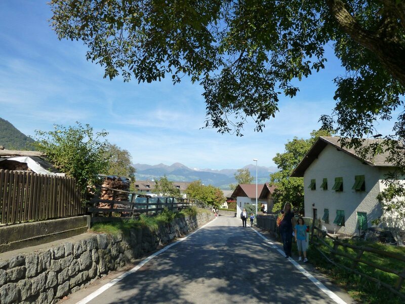
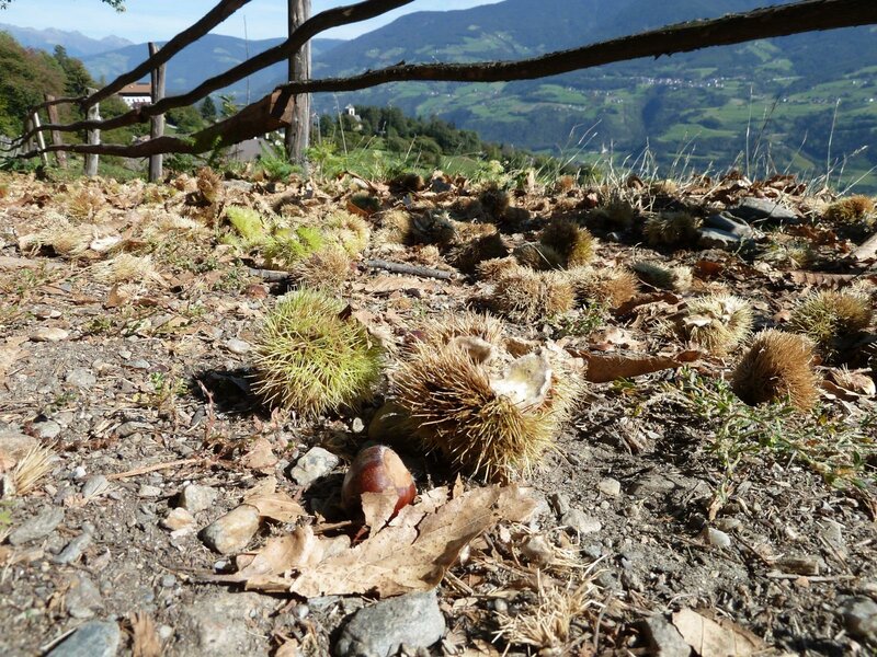
The area is a popular recreation area, even for locals. Especially in autumn, hikes through the colourful landscape are enticing, combined with a stop at one of the traditional "Buschenschänke", the farm taverns. There, you can enjoy roasted chestnuts, hearty dishes like the traditional platter of assorted meats, and South Tyrolean wine while Toerggelen.
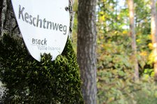
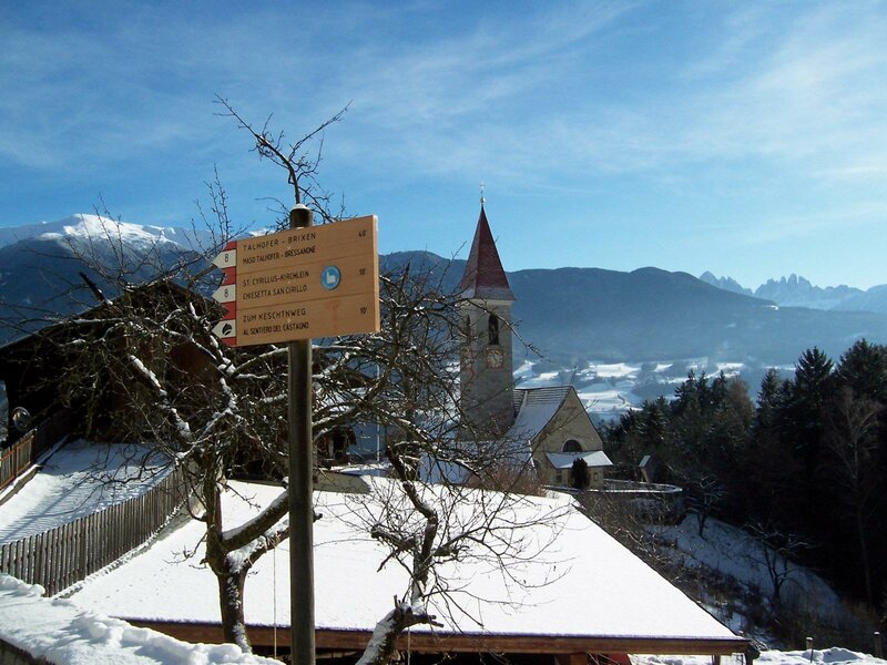
Among the hiking trails are the Chestnut Trail near Tecelinga - more precisely, its fourth stage between Bressanone and Chiusa - the Caredo Farm Trail, and the Pinzago Circular Walk, which takes you past four churches in just under two hours. The hamlet of Mahr, known for the "Wirt an der Mahr" inn, offers a sunny climbing garden. In winter, the Monte Ponente ski shuttle conveniently takes you to the valley station of the Plose Cable Car, 11 kilometres away.