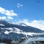
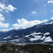
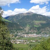
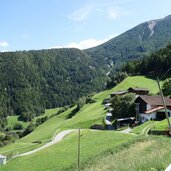
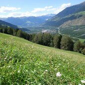
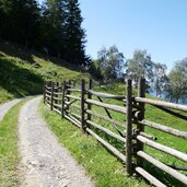
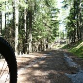
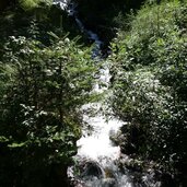
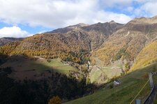
Forests and alpine pastures characterise the greenest side of the valley: the woods of Monte Tramontana in the Stelvio National Park
Image gallery: Monte Tramontana
Monte Tramontana is a hamlet with scattered farms on the mountain of the same name. However, the name refers not only to the slopes near Covelano, but to the entire southern flank of the Val Venosta between Prato allo Stelvio and Lagundo, on the right bank of the Adige River.
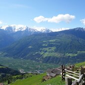
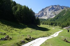
The northern flank of the Val Venosta forms an equally long counterpart: the Monte Sole, the Sun Mountain of the Val Venosta, with its characteristic steppe vegetation and its centuries-old irrigation channels. The forests and alpine meadows on the northern edge of the Stelvio National Park are ideal for mountain bike tours and hikes. Here, a wide view over the Val Venosta and the majestic Ortles Alps awaits you, one that you will long remember.
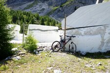
A recommended tour in this area takes you from Monte Tramontana (Nördersberg), either on foot or by bike, to the Covelano Mountain Hut and to Lake Covelano. It then follows the Marble Trail to the quarries of the prized Covelano marble. It is interesting how distinctly the seasons differ on both mountains, although only a few kilometres of valley floor separate them.
Summers on the Monte Tramontana are shady and cool, while on the Monte Sole they are hot and dry. In winter, the snow on the Monte Tramontana often reaches down to the farms, while the cold months on the Sun Mountain are usually snow-free. Both are protected landscapes: The Monte Tramontana is part of the Stelvio National Park, and the Monte Sole is a valuable biotope.


