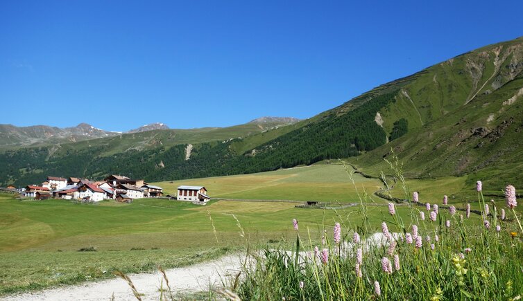
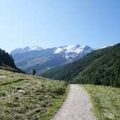
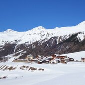
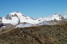
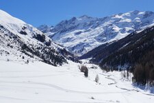
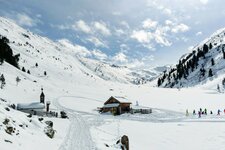
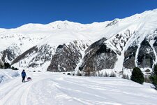
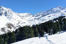
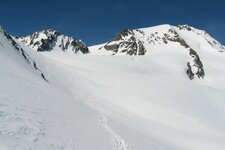
The secluded Vallelunga valley with its larch slopes reaches up to the alpine pastures below the mighty Palla Bianca Glacier
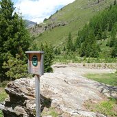
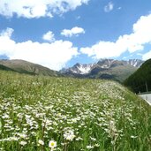
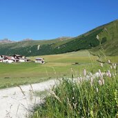
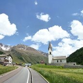
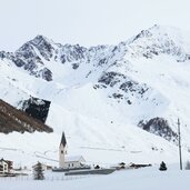
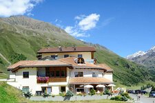
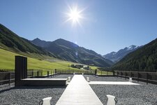
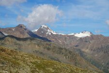
From Curon on Lake Resia, the road branches off and then leads to Vallelunga. It is a district of the municipality of Curon Venosta, but also a valley of its own with several small farmsteads along the road. Steep larch slopes and often snow-covered peaks characterise this area on the border to Austria. The road leads to its end, the village of Melago at an altitude of almost 2,000 metres and the hikers' car park, afterwards it is only possible to continue on foot. In the distance, the highest peak, the Palla Bianca Glacier, watches over the alpine pastures of Vallelunga.
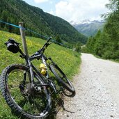
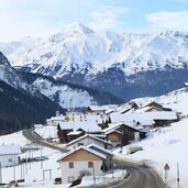
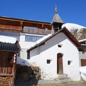
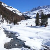
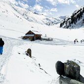
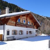
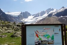
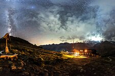
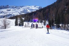
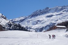
Wonderful tours in summer and cross-country ski tracks in winter start from here. A hike along the Vallelunga Glacier Education Path leads up to the edge of the Eternal Ice. The trails - except for the Glacier Path - are also passable when snow covers the area. And due to the altitude of the valley, this can happen quite often from early autumn to early summer: Melago, Ochsenberg or Malga dei Buoi, and Maseben are the names of the idyllic mountain huts in the midst of a high alpine landscape. Moreover, Maseben is not only a hut with South Tyrolean dishes, but used to be a skiing area of its own and is now the only astronomical observatory in the west of South Tyrol.
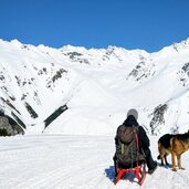
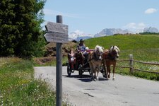
The Vallelunga valley (Langtaufers) is dedicated to gentle tourism. Horse-drawn sleigh rides through the snow are popular and cross-country ski tracks stretch all the way up to the Melago Mountain Hut. They are connected to the Venosta Nordic cross-country skiing association and are the venue for the "La Venosta", a popular cross-country ski event in December. A curiosity: The rock formation at the foot of Mt. Cima Termine is called "Krampusloch" (Devil's Hole). The shape resembling a human being is given an interesting colouring by algae and lichen growth.
