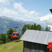
Reach Talle via a scenic mountain road from the Val Passiria, or by the Cervina and Verdines-Talle Cable Cars
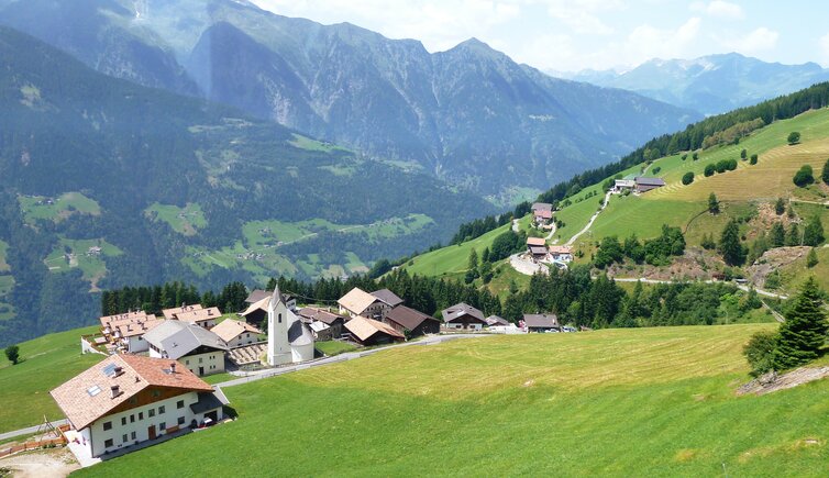
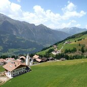
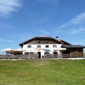
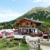
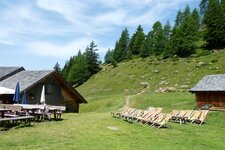
High above Verdines, on the slopes of the Passiria Valley, lie the farmsteads of Talle (Tall). Talle di Sopra and Talle di Sotto, that's to say Upper and Lower Talle, Prenn, and several smaller settlements make up the village, which still belongs to Scena in the Merano region.
Below lie Verdines, also part of Scena, and Saltusio in the Val Passiria valley. To the north, Talle borders the municipality of San Leonardo in Passiria. You can reach Talle via a small mountain road from Saltusio or by cable car. Both the Verdins-Talle Cable Car and the Cervina Cable Car take you to the hiking area at the foot of Mt. Punta Cervina, a popular destination, especially in summer.
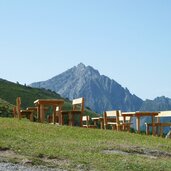
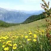
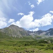
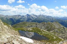
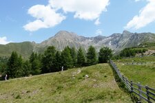
Atop the Punta Cervina, the highest peak of the Sarentino Alps, lies an extensive alpine pasture landscape, which you can explore during the hike to the alpine pastures on Mt. Cervina (Hirzer). Depending on your chosen route length, you'll hike through high-alpine vegetation up to the Rotmoos, directly beneath the mighty Cima di Pegno peak. Up there, where the farmsteads of Talle are scattered across the slopes, you'll find 80 kilometres of marked hiking trails.
The hamlet of Talle has its own small school, which is under the direction of Maia Alta in Merano, and a church with an organ. The Grube Chairlift, which runs from Talle up to an altitude of 1,800 metres, dates back to the time when the Cervina hiking area was a ski resort.
