Discover the Lagundo hamlet of Ried, an enclave amidst the orchards of the Adige Valley
Image gallery: Ried di Lagundo
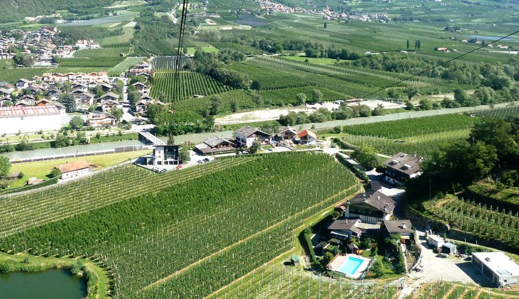
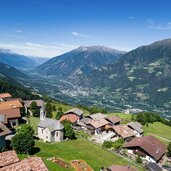
Ried is a common place name in South Tyrol, as it refers to marshy terrain, or cleared woodland. There's a Ried near Vipiteno in the Upper Valle Isarco, one in the Passiria Valley, Ried near Laion in the Isarco Valley, and Ried in the Val Pusteria. In addition, there is a Ried as a hamlet belonging to the municipality of Lagundo, which, together with the hamlet of Rio Lagundo above it, occupies a unique location. The main village of Lagundo is about eight kilometres away.
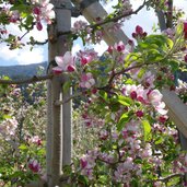
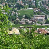
Ried itself is located in the Adige Valley, surrounded by the municipalities of Parcines and Plaus. Thus, Ried and Rio Lagundo, separated from the rest of the municipal area, lie on the green Monte Tramontana, an area rich in water. Another well-known enclave is Anterivo, a small South Tyrolean village in the Trentino. During the apple blossom season, the apple trees exude a sweet fragrance and provide a beautiful backdrop for walks in the valley.
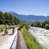
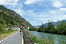
The Val Venosta Cycle Path runs along the Adige River to Merano and on to Bolzano. From there, South Tyrol's cycle path network branches out in all directions, taking you to the Upper Val Pusteria, to Lake Caldaro in the south, or to Vipiteno, and then to the Brennero Pass.
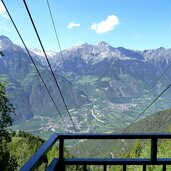
Near Ried, you'll find a stop on the Val Venosta Railway line, which connects Merano with Malles Venosta with its colourful trains, and the Rio Lagundo Cable Car. The latter ascends 800 metres to the mountain village of Rio Lagundo, the starting point for many hikes.







.jpg)