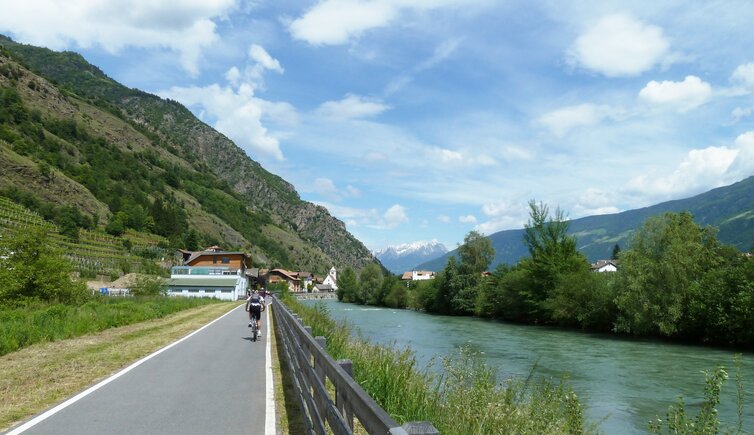
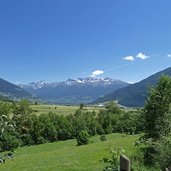
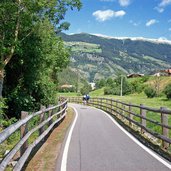
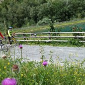
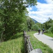
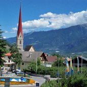
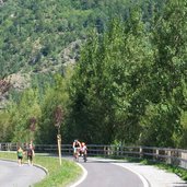
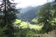
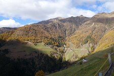
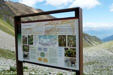
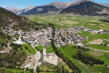
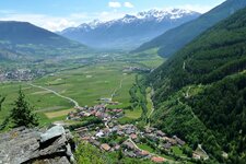
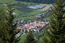
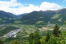
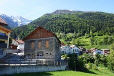
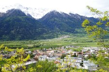
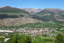
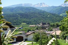
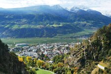
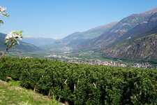
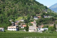
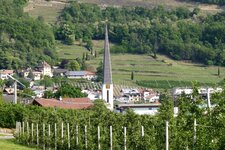
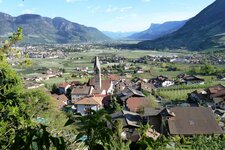
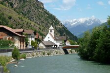
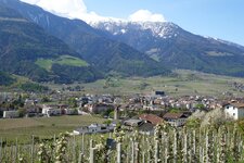
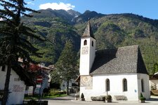
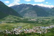
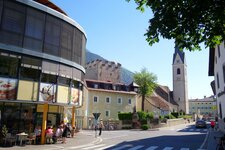
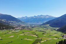
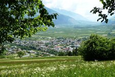
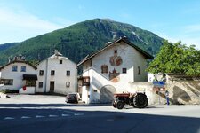
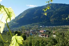
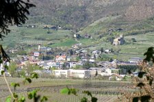
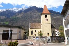
A really popular one: The cycle trail of the Val Venosta valley, part of the Via Claudia Augusta, stretches along the Adige River
Image gallery: Val Venosta Cycle Path: Resia - Merano
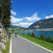
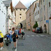
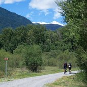
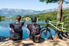
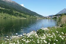
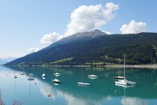
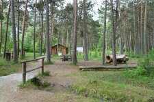
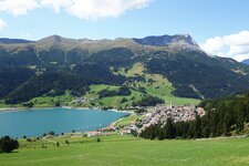
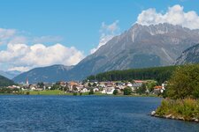
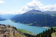
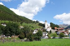
At Passo Resia, representing a 1,500 m high border between Italy and South Tyrol, the cycle track of the Val Venosta starts. It hugs Lake Resia and provides a great view on the famous Church Tower rising from the lake, a remnant of the drown village of Curon Vecchia. We proceed across San Valentino alla Muta and pass Lake San Valentino. Along the Adige, we cycle to Burgusio, Clusio and finally reach Curon. From this little Mediaeval village, which is absolutely worth to be visited, the cycle track continues to the Arena di Prato, which is a meadow landscape at the Rio Solda river, that is to say a protected area. The route until Prato allo Stelvio is not asphalted.
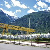
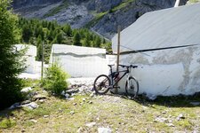
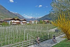
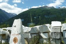
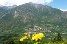
The oncoming section, past Cengles and Oris to Lasa, is mainly characterised by fruit-growing. The burnt Monte Sole on the left stands in contrast to the densely forested Nörderberg on the right. At Lasa (Laas) we recommend you a break, as the centre is really worth a visit. By the way, in this village marble is mined and is also considered a stronghold for the cultivation of apricots. The next section stretches along a savage part of the Adige riverside. The river has carved a deep canyon into the ground, which is part of the Stelvio National Park (that's why this section is not asphalted). Via Covelano we reach Silandro (Schlanders), the main village of the valley. The cycle track continues across a landscape of fruit orchards at Morter at the entrance of Val Martello to Laces.
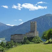
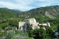
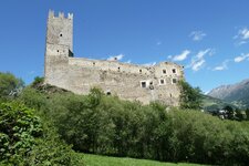
Cycling across the village, we pass the Latschander Gorge down to Castelbello, its charming castle strikes the view. Stava, Naturno, Plaus, Rablà and Plars are the next villages we pass on the cycling track, leading us the way to Lagundo and Merano, the end of our tour across the Val Venosta. If you would like to, you can proceed to Bolzano (Valle dell'Adige Cycle Track).
- Train & bicycle: regional trains of the Val Venosta with limited bicycle capacity (stop at: Malles, Oris, Lasa, Silandro, Castelbello, Naturno, Merano)
Connection to further cycling routes in the cycling network of South Tyrol:
- At Merano: Valle dell'Adige Cycle Path to Bolzano (Via Claudia)
- At Merano: Val Passiria Cycle Path to S. Leonardo
- At Passo Resia: Via Claudia Augusta in South Tyrol to Nauders / Landeck (A)
The following cycle track is called cycle route, but is only in part a bike lane only. It also includes lightly trafficked roads on which cars and tractors run. Please cycle with caution!
-
- Starting point:
- Reschenpass / Passo Resia
-
- Time required:
- 04:50 h
-
- Track length:
- 82,2 km
-
- Altitude:
- from 294 m to 1.533 m
-
- Altitude difference:
- +297 m | -1536 m
-
- Signposts:
- Radweg Vinschgau
-
- Destination:
- Merano
-
- Track surface:
- asphalted cycling track, short passages on field tracks and side roads in a protected area
-
- Recommended time of year:
- Jan Feb Mar Apr May Jun Jul Aug Sep Oct Nov Dec
-
- Download GPX track:
- Val Venosta Cycle Path: Resia - Merano
