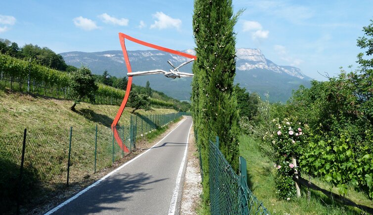
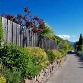
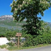
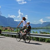
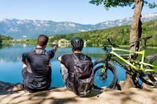
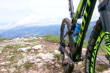
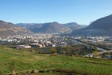
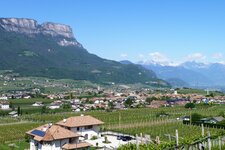
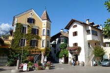
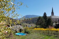
This cycle track connects the town of Bolzano to the wine-growing area between Appiano, Caldaro and Lake Caldaro
Image gallery: Oltradige Cycle Path: Bolzano - Appiano - Caldaro
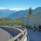
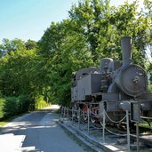
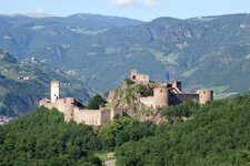
From Bolzano this cycle track stretches along the Isarco river towards south, up to the fork "Merano - Appiano". From this point the cycle route continues towards north for some km, afterwards it traverses a bridge. Here, right underneath Firmiano Castle, the track starts rising a little: This is where once upon a time the Oltradige Railway used to operate.
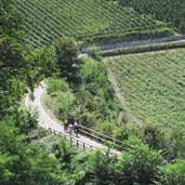
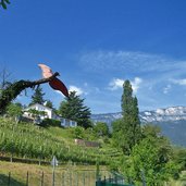
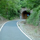
The cycle path traverses the wine-growing area between Cornaiano and Frangarto, crosses several galleries and finally comes to reach San Michele Appiano. From the former San Michele Appiano station, we proceed towards south, up to the fork "Kreuzweg" the trail snakes parallel to the road. This is where the routes split: If you would like to cycle to Lake Caldaro, follow the track to Ora.
If you would like to visit the village of Caldaro (Kaltern), follow the signposts "Überetscher Spazierweg". The route to Lake Caldaro (Kalterer See) is not really a cycle track, as on this trail inhabitants and farmers are allowed to drive with their tractor and vehicles, so be cautious. However, the trail to Caldaro is also a walking route, so please respect pedestrians and walkers!
- Train & bicycles: regional trains with limited bicycle transportation (stops at: Bolzano, Ponte d'Adige, Ora, 4 km from Lake Caldaro)
Connection to further cycle tracks in the cycling trail network of South Tyrol:
- At Bolzano: Valle Isarco Cycle Path to Chiusa/Bressanone
- At Bolzano Sud: Bassa Atesina Cycle Path to Salorno/Trento
- At Bolzano Sud: Valle dell'Adige Cycle Path to Merano
- At Lake Caldaro: towards the station of Ora (about 4 km) towards the Bassa Atesina
The following cycle track is called cycle route, but is only in part a bike lane only. It also includes lightly trafficked roads on which cars and tractors run. Please cycle with caution!
-
- Starting point:
- Bolzano
-
- Overall time:
- 01:25 h
-
- Total route length:
- 16,7 km
-
- Altitude:
- from 236 m to 428 m
-
- Altitude difference (uphill | downhill):
- +198 m | -27 m
-
- Signposts:
- Radweg Überetsch
-
- Destination:
- Caldaro
-
- Track surface:
- asphalted track, in part also farm lanes/byroads, galleries (illuminated, no motorized traffic)
-
- Recommended time of year:
- Jan Feb Mar Apr May Jun Jul Aug Sep Oct Nov Dec
-
- Download GPX track:
- Oltradige Cycle Path: Bolzano - Appiano - Caldaro
