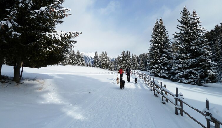
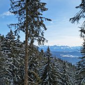
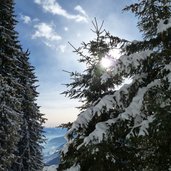
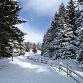
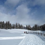
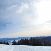
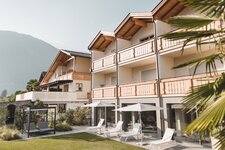
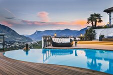
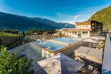
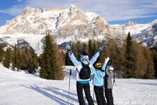
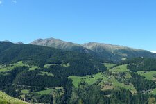
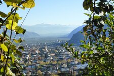
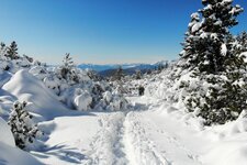
The Monte San Vigilio above Lana is an oasis of tranquillity and relax, ideal for a pleasant winter walk
Image gallery: Winter hike on Mount San Vigilio
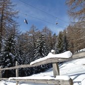
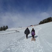
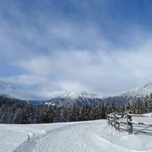
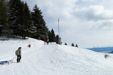
When winter covers the forests and meadows at Monte San Vigilio with a white veil, this place above Lana e Merano is ideal for skiing, tobogganing and winter walking. It is not accessible by car and can only be reached by taking the funicular from Lana di Sopra. The mountain station of this funicular is starting point for a walk along the snow-covered forested trail. After a coffee in the vigilius mountain resort, we continue our walk on the trail no. 34, slightly upwards. Above our heads the funicular hovers in the sky, next to the walking trail, there is the popular toboggan run.
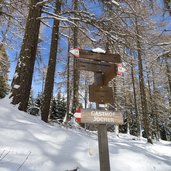
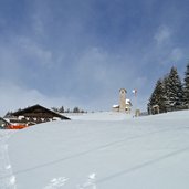
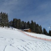
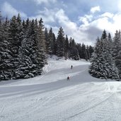
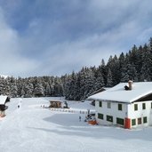
After 45 minutes of walking our trail leaves the forest and takes us across a snow-covered meadow to the Jocher tavern. Next to the mountain tavern, at 1,800 m a.s.l., there is the St. Vigilius Church, the symbol of this area. The ski slope is above all popular with families, as the little skiing area is ideal for beginners and is never over-crowded.
We continue our walk towards the Seespitz (Black Lake) in the Gioveretto Group, at the Seehof tavern we reach the end of the second ski slope. This is where we make a stop in a sunny place and eat our lunch from our rucksack. On the way back, we stop at the Jocher tavern to have a tasty dessert. Notice: The data indicated refer to the entire route, including return trip, on foot.
Author: AT
-
- Starting point:
- mountain station of the Monte San Vigilio cable car starting from Lana
-
- Time required:
- 02:30 h
-
- Track length:
- 7,8 km
-
- Altitude:
- from 1.484 m to 1.785 m
-
- Altitude difference:
- +339 m | -339 m
-
- Signposts:
- no. 34, 3, 9
-
- Destination:
- Monte San Vigilio
-
- Resting points:
- Gasthof Jocher
-
- Recommended time of year:
- Jan Feb Mar Apr May Jun Jul Aug Sep Oct Nov Dec
-
- Download GPX track:
- Winter hike on Mount San Vigilio
If you want to do this hike, we suggest you to check the weather and trail conditions in advance and on site before setting out.
