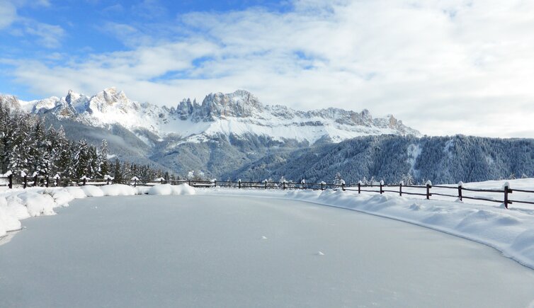
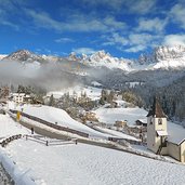
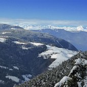
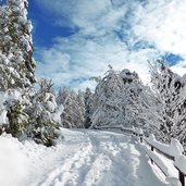
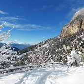
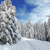
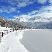
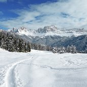
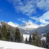
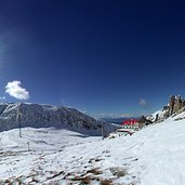
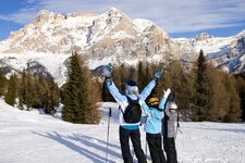
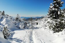
Across a snow-covered landscape above Tires: from S. Cipriano and Bagni di Lavina Bianca to S. Sebastiano and the Wuhnleger pond, the most famous viewpoint on the Catinaccio mountain range
Image gallery: Winter hike in Tires
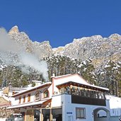
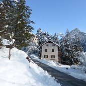
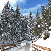
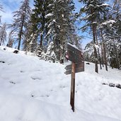
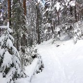
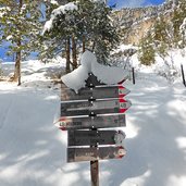
Our winter walk starts at the little St. Cyprian Chapel in the eponymous hamlet of San Cipriano (St. Zyprian), where the road to Bagni di Lavina Bianca (Weisslahnbad) branches off. We follow the little road upwards, past the taverns Weisslahnbad and Pine. Afterwards there is another section up through the forest, before the ploughed road ends and we follow the signpost no. 6, where the paths bifurcate. Across snow-covered meadows, then through the forest, we reach the farmsteads above Tires, Trompedeller, Veralten and Pattiss. This is where the path no. 4B branches off.
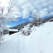
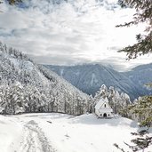
The snow-capped path climbs and takes across the forest, until we reach the St. Sebastian Chapel, idyllically located in a snow-covered clearing. Then we proceed the way up until we reach a junction, where we follow the path to "Wuhnleger". It takes us to a pond called "Wuhnleger", in the waters of which in summer months the peaks of the Catinaccio Group are reflected.
For this reason it is a popular photo motif. However, also the frozen version has its particular attraction. We proceed on the path towards the Catinaccio, soon the path leads down to Bagni di Lavina Bianca and back to San Cipriano, where our winter walk ends.
Author: AT
-
- Starting point:
- San Cipriano Church, junction to Bagni Lavina Bianca
-
- Overall time:
- 02:50 h
-
- Total route length:
- 8,8 km
-
- Altitude:
- from 1.064 m to 1.422 m
-
- Altitude difference (uphill | downhill):
- +453 m | -453 m
-
- Route:
- San Cipriano - Bagni Lavina Bianca - St. Sebastian Chapel - Wuhnleger Pond - Bagni Lavina Bianca - San Cipriano
-
- Signposts:
- Bagni Lavina Bianca, no. 2, 6, 4B, 4, 4A, 6, 2
-
- Destination:
- Laghetto Wuhnleger
-
- Recommended time of year:
- Jan Feb Mar Apr May Jun Jul Aug Sep Oct Nov Dec
-
- Download GPX track:
- Winter hike in Tires
If you want to undertake this hike, we recommend you to check the weather and trail conditions in advance and on site before setting out.
