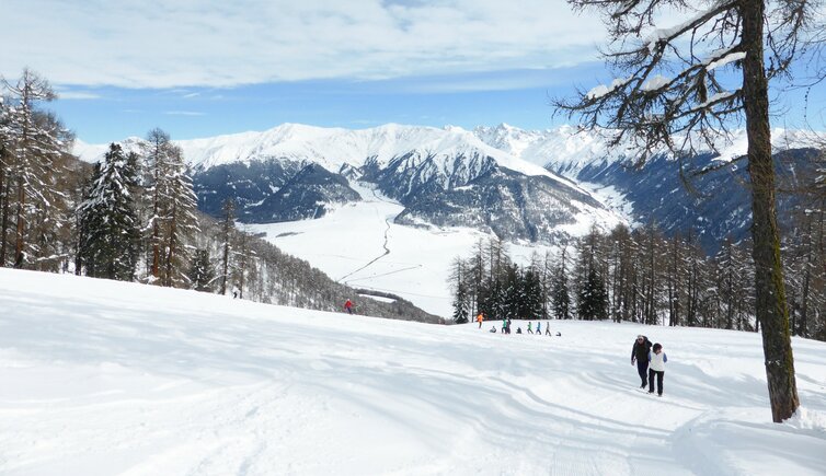
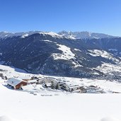
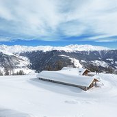
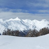
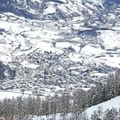
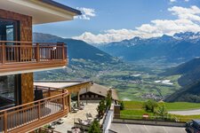
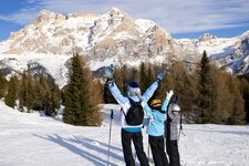
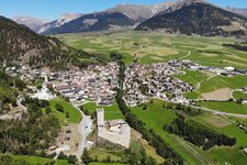
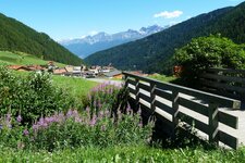
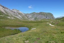
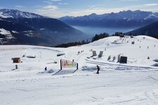
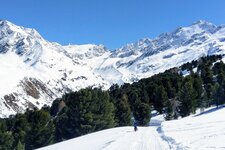
On the edge of a little skiing area in the west of Malles, a winter walking trail takes you to the summit of Mt. Piz Watles, providing great panoramic views on the Oetztal Alps and the Resia Pass
Image gallery: Winter hike on the Watles
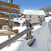
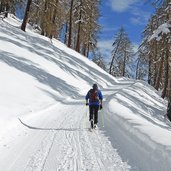
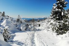
Starting point of our walk is the lower terminus of the Watles Skiing Area in the mountain village of Pramajur (on the road from Burgusio to Slingia). From the parking space we follow the road back to the Pramajur farmsteads, where we stop for coffee and cake at the Kastellatz, before we really start our tour. Following the signpost no. 2B, we walk over the snow-covered meadow up to the larch forest. Soon the path joins the well-groomed winter walking trail to the Höfer Mountain Hut.
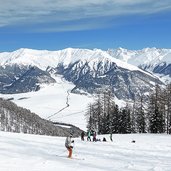
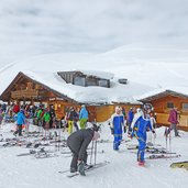
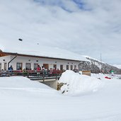
Short before reaching the hut, we need to walk a short stage along the ski run, then again across a short stage in the forest, and finally we reach the centre of the Watles skiing area at the Plantapatsch Mountain Hut (2,140 m a.s.l.). From this path the place continues to the 2,550 m high Piz Watles peak in the Sesvenna Alps. We decide, however, to walk back from the Plantapatsch Hut.
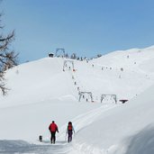
Otherwise you could walk to the highest point, which would take you about 90 additional minutes for the 3 km, each direction. By the way: The mountain station of the Watles Chairlift is within easy reach, if you would like to take the lift for the way back, and a 4 km long sledge track, one of the toboggan runs of the valley, down to the starting point. It is recommendable to start this walk in the morning, as the slopes are sun-drenched at that time.
Author: AT
-
- Starting point:
- Pramajur (Watles valley station)
-
- Time required:
- 02:35 h
-
- Track length:
- 7,4 km
-
- Altitude:
- from 1.715 m to 2.132 m
-
- Altitude difference:
- +417 m | -417 m
-
- Signposts:
- 2B, 3, "Winterwanderweg"
-
- Destination:
- Plantapatsch
-
- Resting points:
- Restaurant Plantapatsch
-
- Recommended time of year:
- Jan Feb Mar Apr May Jun Jul Aug Sep Oct Nov Dec
-
- Download GPX track:
- Winter hike on the Watles
If you want to do this hike, we suggest you to check the weather and trail conditions in advance and on site before setting out.
