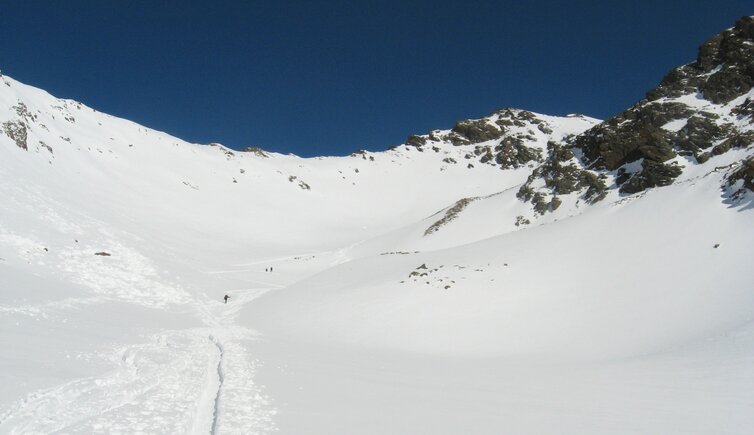
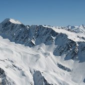
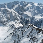
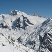
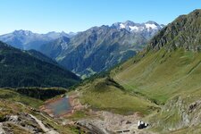
The 3,179 m high Mt. Cima di Pleres in the Oetztal Alps that can be reached from the head of the Valle di Mazia in the Val Venosta
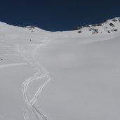
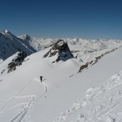
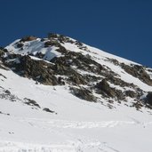
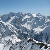
Image gallery: Ski tour to Mount Cima di Pleres
Starting from the head of the Valle di Mazia (Matscher Tal), at the bridge near the Glieshof tavern (1,824 m a.s.l.) in Mazia, we start our tour to the Cima di Pleres (3,179 m a.s.l.) in the Oetztal Alps. This is where the forested trail starts, paralleling the Rio Saldur stream (secure conditions required!). This path takes past the Mazia di Fuori Mountain Hut and to the open country.
We head for the "Planaler Joch", at the foot of the Forcella Valvell ridge. Finally, after a crossing to the right, we reach a flat basin. Keeping left, we traverse the rocky summit slope in zigzag, we reach the ski depot and reach the summit on foot (3,179 m a.s.l.). Highly impressive is the view of the Oetztal Alps, the Samnaun, Verwall and Silvretta mountain chains and the Sesvenna Alps.
This tour requires absolutely secure conditions and is recommendable as spring tour, after a clear and cold night. Relatively steep tour, not difficult but requires absolutely secure conditions!
Author: BS
-
- Starting point:
- parking space at the Glieshof tavern, Mazia
-
- Time required:
- 04:00 h
-
- Track length:
- 6,0 km
-
- Altitude:
- from 1.809 m to 3.178 m
-
- Altitude difference:
- +1367 m | -0 m
-
- Route:
- Time required and track length refer to the ascent
-
- Destination:
- Mount Cima di Pleres
-
- Recommended time of year:
- Jan Feb Mar Apr May Jun Jul Aug Sep Oct Nov Dec
-
- Download GPX track:
- Ski tour to Mount Cima di Pleres
-
- More information:
- Orientation of the slope: SE
We suggest you to check the weather conditions in advance and on site before setting out. Don’t forget to check the current avalanche forecast!
