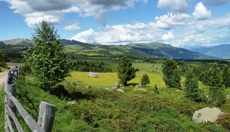
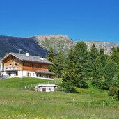
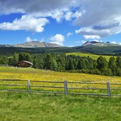
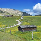
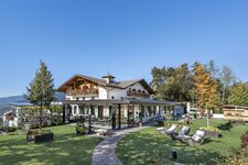
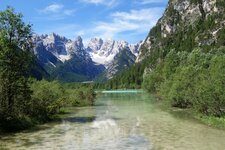
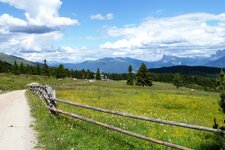
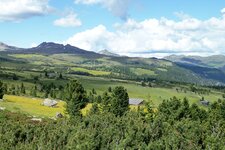
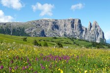
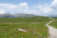
Raised moss and sun terrace… the Alpe di Villandro is a great place for spending a day under the open sky
Image gallery: Hiking to the Villandro Alp
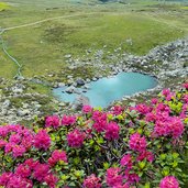
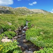
The Alpe di Villandro is an extended high alpine pasture above the locality of Villandro. This alpine meadow is characterised by lush green meadows, moors, lakes and grass-covered hills. Numerous refuges are spread all over, offering traditional delicacies and a great place for a rest and having a cool drink. From Villandro drive up to the Sambergerhof farm and further on to the Gasser refuge.
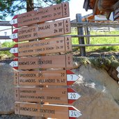
This is where our hike starts on food. Follow path no. 6 to the "Scheibenstock-Martlerle" and follow the stations of the cross to the chapel "Totenkirchl". From this chapel you can, if you want to, make a quick side-trip to lake "Totensee", following the path no. 2A. On path no. 6 we proceed to the "Ribner Alm", to "Moar in Ums" farm and "Prackfieder Jöchl" (no. 16B, blue-white marks). From this place we start our way back on hiking path no. 16 and 16A, taking us back to Alpe di Villandro.
Follow the signs "Gasserhütte" and walk back to the Sambergerhof, starting point of our hike. Please wear waterproof shoes (wetland)!
-
- Starting point:
- Rif. Gasser mountain hut, Villandro
-
- Time required:
- 03:50 h
-
- Track length:
- 12,4 km
-
- Altitude:
- from 1.752 m to 2.169 m
-
- Altitude difference:
- +468 m | -468 m
-
- Signposts:
- 24, 6, 16B, 16, 16A, 15, 20
-
- Resting points:
- Mair in Plun, Pfroder Alm
-
- Recommended time of year:
- Jan Feb Mar Apr May Jun Jul Aug Sep Oct Nov Dec
-
- Download GPX track:
- Hiking to the Villandro Alp
If you want to do this hike, we suggest you to check the weather and trail conditions in advance and on site before setting out.
