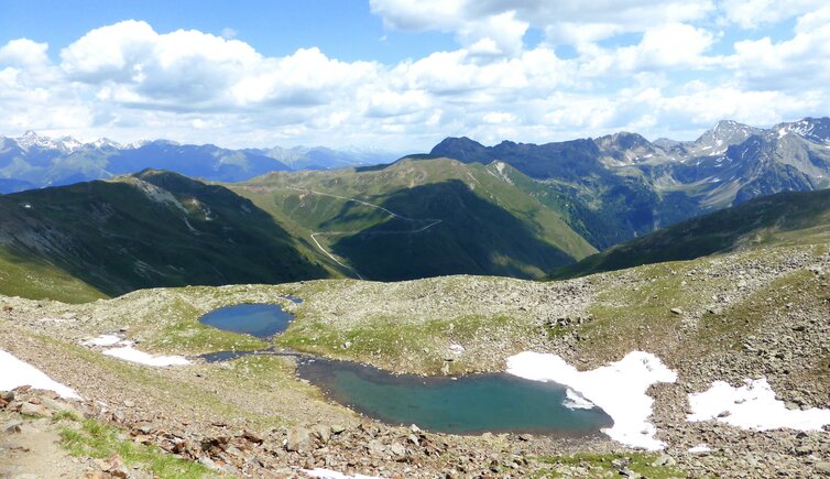
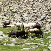
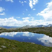
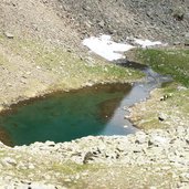
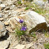
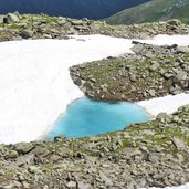
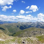
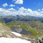
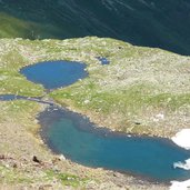
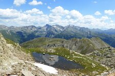
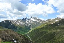
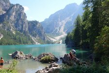
Two small mountain lakes are located below the highest peak of the Sarentino Alps in the middle of a beautiful landscape, formed by the forces of nature
Image gallery: Hike to the Steinwandseen lakes
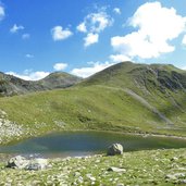
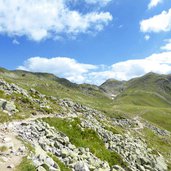
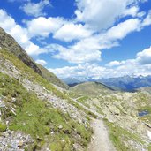
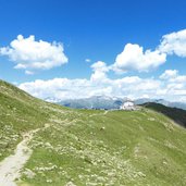
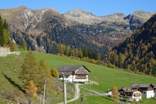
This mountain tour leads us from the Passo di Pennes pass (Penser Joch) to Mt. Corno Bianco di Pennes (Sarner Weisshorn). The hike starts at the parking space at the 2,200 m high pass (Alpenrose tavern) in the heart of the Sarentino Alps. First we follow the signpost no. 12A towards west. The narrow trail proceeds to the small Jochsee lake, located below the "Gänsekragen" hill, and further on slightly uphill through a stony landscape.
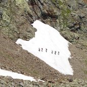
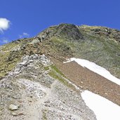
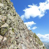
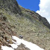
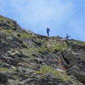
After a 90-minute walk we reach the Steinwandseen lakes in a hollow at 2,400 m a.s.l. At the time of our hike the summer months are rather cool and we still find some snow fields. The trail gets steeper and leads us beneath the 2,700 m high Corno Bianco, the highest peak of the Sarentino Alps. The summit is not far away, but those additional 20 minutes are only recommended for experienced hikers. The secured path proceeds along a rugged and steeply descending rock face.
We decide to follow the same trail back to our starting point. This beautiful mountain tour through the spectacular and wild high alpine landscape of the Sarentino Alps is perfect for nature lovers and mountain fans alike.
Author: AT
-
- Starting point:
- Passo di Pennes pass, Campo di Trens/Val Sarentino valley
-
- Time required:
- 03:30 h
-
- Track length:
- 10,3 km
-
- Altitude:
- from 2.184 m to 2.611 m
-
- Altitude difference:
- +610 m | -610 m
-
- Signposts:
- no. 12A
-
- Destination:
- Gerölljoch
-
- Recommended time of year:
- Jan Feb Mar Apr May Jun Jul Aug Sep Oct Nov Dec
-
- Download GPX track:
- Hike to the Steinwandseen lakes
If you want to do this hike, we suggest you to check the weather and trail conditions in advance and on site before setting out.
