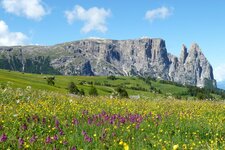
A discovery journey across the Alpine pastures of Luson, along the ridge of the Cima Lasta - an easy, but extended walking tour with a panoramic view, including a lake as special highlight
Image gallery: Hike to the Munt da Rina Mountain Hut
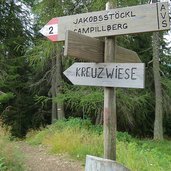
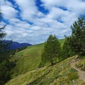
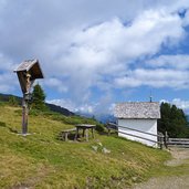
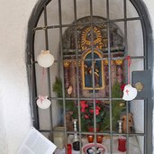
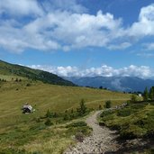
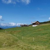
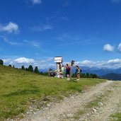
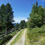
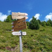
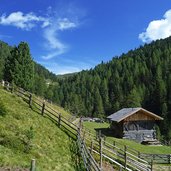
In order to reach the best starting point for this walk, we drive the narrow street from Luson (Lüsen) via the hamlet of Flitt and proceed until we reach a parking space slightly below the tree line (Schwaigerböden). This is where our walk starts, following the signposts "Jakobsstöckl”. Past mountain huts and via meadows, we reach a little chapel, from where you can enjoy a perfect view down on the Val Pusteria and Brunico. We proceed to the Malga Wieser hut (possibility to stop), and the following section, the way up, takes us to Lake Lè de Rina (Glittnersee).
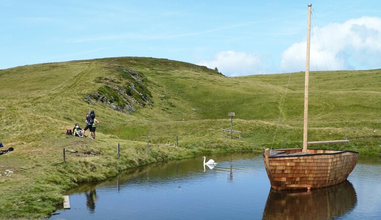
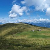
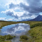
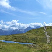
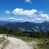
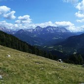
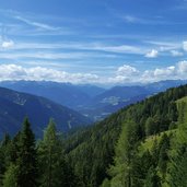
Surrounded by a series of smaller ponds, in this lake there are also ducks and swans as well as a wooden ship, which is rather unusual for a place that is higher than 2,000 metres a.s.l. Leaving behind the lake, we proceed the way up to the Col da Lé and its summit cross. Whithout even noticing, we have traversed the language border to the Ladin spaking Val Badia, located directly underneath. The view of the Fanes mountains and the Dolomites of Sennes and Braies is amazing, just as the view you can enjoy of the Sasso Putia.
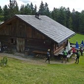
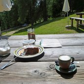
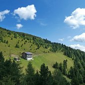
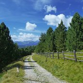
In this scenery we start descending, until we reach a broader path. This is where we proceed to the "Munte da Rina" mountain hut, located right underneath the tree line. After a short stop we decide to walk back, following the signpost "AS" (Anton Schwingshackl Path) and aferwards the signpost "Turnaretsch mountain hut". On the path no. 10, we decide to walk back to the starting point.
Author: AT
-
- Starting point:
- Luson - Flitt (parking space Schwaigerböden)
-
- Time required:
- 05:30 h
-
- Track length:
- 17,6 km
-
- Altitude:
- from 1.644 m to 2.175 m
-
- Altitude difference:
- +714 m | -714 m
-
- Signposts:
- no. 2, 10, 26, AS, 10, 2
-
- Destination:
- Munt da Rina
-
- Resting points:
- Munt da Rina
-
- Recommended time of year:
- Jan Feb Mar Apr May Jun Jul Aug Sep Oct Nov Dec
-
- Download GPX track:
- Hike to the Munt da Rina Mountain Hut
If you want to do this hike, we suggest you to check the weather and trail conditions in advance and on site before setting out.
