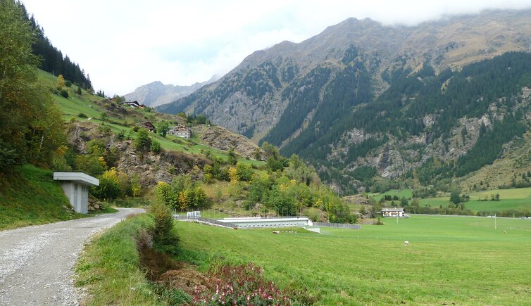
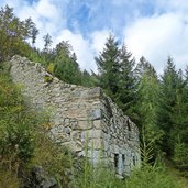
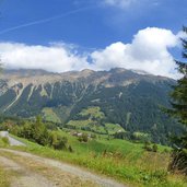
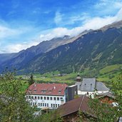
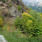
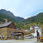
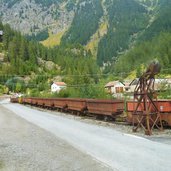
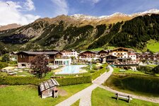
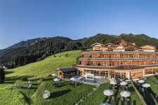
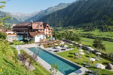
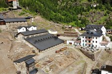
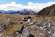
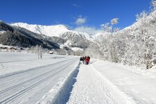
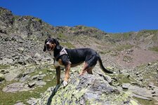
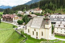
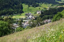
The Obere Erzstrasse path describes the route between Mareta and Masseria in the Val Ridanna valley where once the ore conveyor of the Monteneve Mine was located
Image gallery: Hike on the Obere Erzstrasse Path
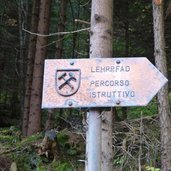
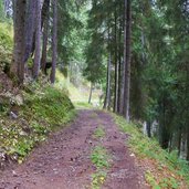
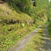
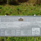
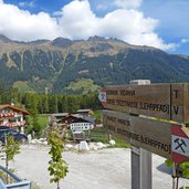
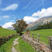
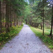
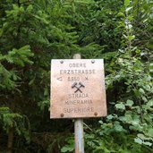
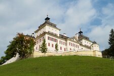
Our starting point is Mareta (Mareit). At the parking space beneath the Wolfsthurn Castle we start first towards south-west, across the road and up the hill. After this quite demanding ascent along a narrow trail we reach the flat forest road, where the ore conveyor was located 100 years ago. Boards inform about the former transport route, which was constructed in the 19th century.
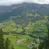
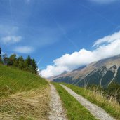
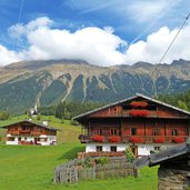
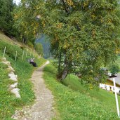
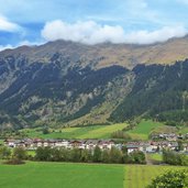
Comfortably we walk through the forest towards west, shortly before the village of Ento (Gasse) we cross the road of the Val Ridanna valley and continue until the village of Ridanna (Ridnaun), always surrounded by meadows.
From here it’s not far anymore to Masseria and the popular Mining Museum Monteneve Ridanna, one of the Provincial Museums. For our way back we take the same route or go by public bus. (The data indicated refer to the entire route, including return trip, on foot).
Author: AT
-
- Starting point:
- Mareta (village centre)
-
- Time required:
- 05:30 h
-
- Track length:
- 19,7 km
-
- Altitude:
- from 1.040 m to 1.435 m
-
- Altitude difference:
- +400 m | -400 m
-
- Signposts:
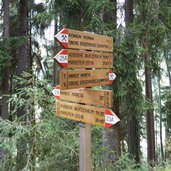
- Obere Erzstrasse
-
- Destination:
- Mining World Schneeberg Ridanna near Masseria
-
- Recommended time of year:
- Jan Feb Mar Apr May Jun Jul Aug Sep Oct Nov Dec
-
- Download GPX track:
- Hike on the Obere Erzstrasse Path
If you want to do this hike, we suggest you to check the weather and trail conditions in advance and on site before setting out.
