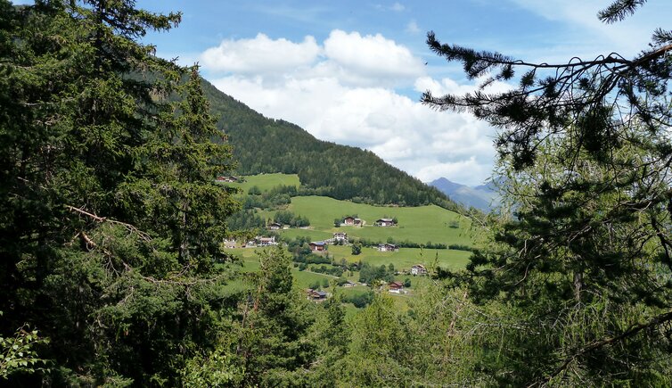
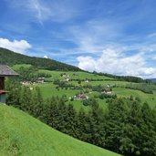
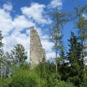
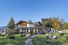
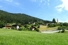
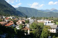
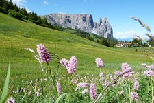
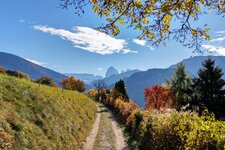
This walking tour leads us through the valley of Scaleres (Schalders) to Spelonca (Spiluck) on the mountain of Varna (Vahrn)
Image gallery: Hike from Varna to Spelonca
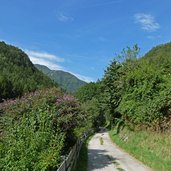
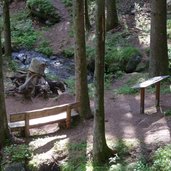
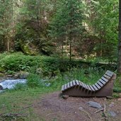
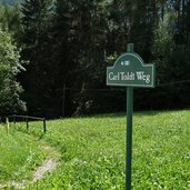
Our starting point today is the village centre of Varna where we take the Vernagg-path to reach the start of the circular walk at the crossing with the Carl-Toldt-path. We walk into the valley, cross a bridge and proceed along the Georgssteig-path. This path was constructed like a promenade, plenty of playing opportunities for children, information panels about the nature in this area and several tables and benches to take a rest are offered.
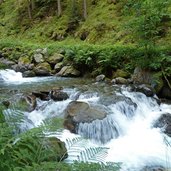
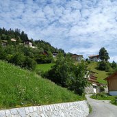
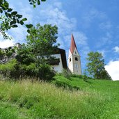
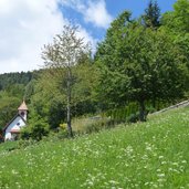
For a long while we walk along the creek in the shady forest till we change to the other valley side. Here we walk along the forest path which leads us up to Bagni di Scaleres (Bad Schalders). At the level of the fairground - at the edge of the meadows - we turn off right and walk up to the village through the meadows. Scaleres was built around the beautiful Church of St. Wolfgang.
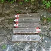
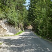
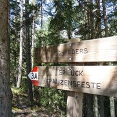
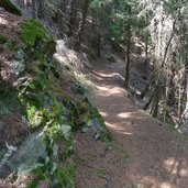
After a short rest we follow the path no. 3A towards Spelonca, partly on an asphalt road and partly on a forest trail. Shortly before the small village the marker no. 2 leads us downwards to the Valle Isarco, we proceed along the Spelonca creek and come back to our starting point at Varna.
Author: AT
-
- Starting point:
- Varna, Vernagg-path
-
- Time required:
- 03:30 h
-
- Track length:
- 9,9 km
-
- Altitude:
- from 732 m to 1.320 m
-
- Altitude difference:
- +625 m | -625 m
-
- Signposts:
- 5, 3, 3A, 2
-
- Destination:
- Schalders / Scaleres, Spiluck / Spelonca
-
- Resting points:
- Gasthaus Messner
-
- Recommended time of year:
- Jan Feb Mar Apr May Jun Jul Aug Sep Oct Nov Dec
-
- Download GPX track:
- Hike from Varna to Spelonca
If you want to do this hike, we suggest you to check the weather and trail conditions in advance and on site before setting out.
