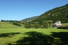
This hike proceeds steeply uphill from Caminata in the Val di Vizze valley above the timber line to the Schlüsseljoch mountain ridge
Image gallery: Hike to the Schlüsseljoch ridge
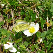
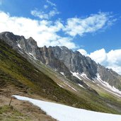
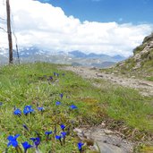
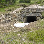
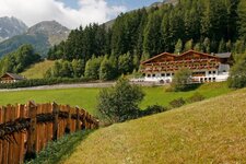
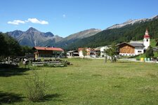
In the high mountains June is still a spring month. It is not uncommon that immediately above the timber line spots with snow can be found. But spring also means blooming landscapes everywhere. At the western entrance to the village of Caminata in the Val di Vizze the path no. 4 branches uphill at the northern side of the valley.
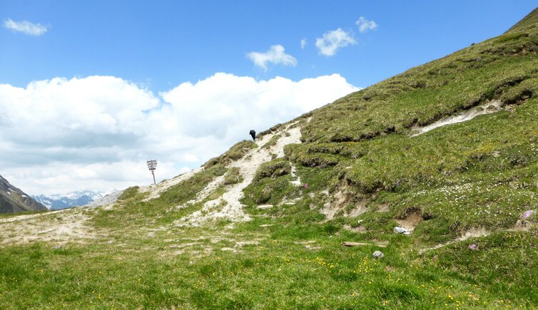
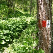
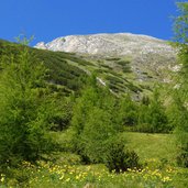
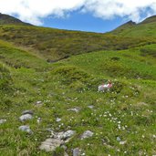
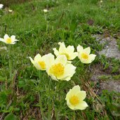
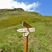
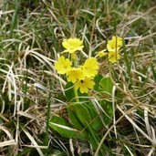
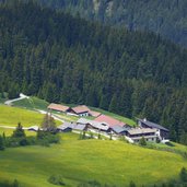
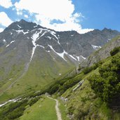
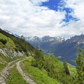
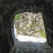
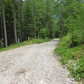
We leave farms and meadows behind and reach the larch forest. We have to pay attention to the marker, without, the path is not continuously identifiable. Yellow globe flowers give place to alpine anemones, the forest ends and a high alpine heath opens up. Shortly before the Schlüsseljoch the path reaches the old military road which accompanies us the last curves until the ridge.
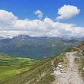
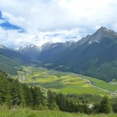
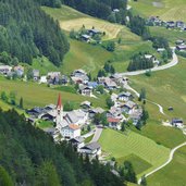
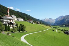
Arrived at the highest point at 2,218 m a.s.l. a gorgeous view on the Alta Valle Isarco and the surrounding alpine landscape on the main Alpine ridge can be enjoyed. For the way back we take the less steep and more comfortable old military road (no. 4A). From there we have another fantastic view on the Val di Vizze valley. The road ends at the hamlet of Fussendrass, there we take the path no. 1 down to the valley and back to Caminata.
Author: AT
-
- Starting point:
- Caminata (Kematen) in the Val di Vizze valley
-
- Time required:
- 04:40 h
-
- Track length:
- 11,8 km
-
- Altitude:
- from 1.381 m to 2.221 m
-
- Altitude difference:
- +876 m | -876 m
-
- Signposts:
- 4, 4A, 1
-
- Destination:
- Schlüsseljoch
-
- Recommended time of year:
- Jan Feb Mar Apr May Jun Jul Aug Sep Oct Nov Dec
-
- Download GPX track:
- Hike to the Schlüsseljoch ridge
If you want to do this hike, we suggest you to check the weather and trail conditions in advance and on site before setting out.
