Circular walk in the Alta Valle Isarco to the high small villages in the community of Campo di Trens, between 900 and 1,300 m a.s.l
Image gallery: Hike to San Valentino and Mules
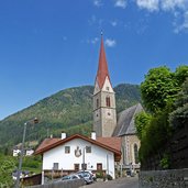
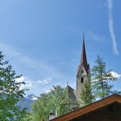
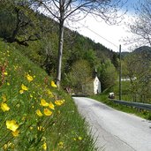
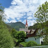
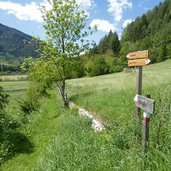
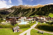
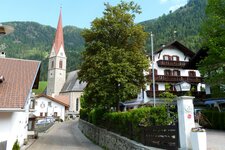
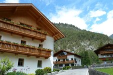
In the Alta Valle Isarco, south of Vipiteno and between the Alpi Sarentine and the Fundres mountains, the villages of the community Campo di Trens are located. Our walking tour starts at the well-known pilgrimage church of Maria Trens. We walk through the village center towards south and find the marker "2A - Valgenauna (Valgenäun)" which leads us along a wide path to the church of S. Valentino in the small village on the hillside.
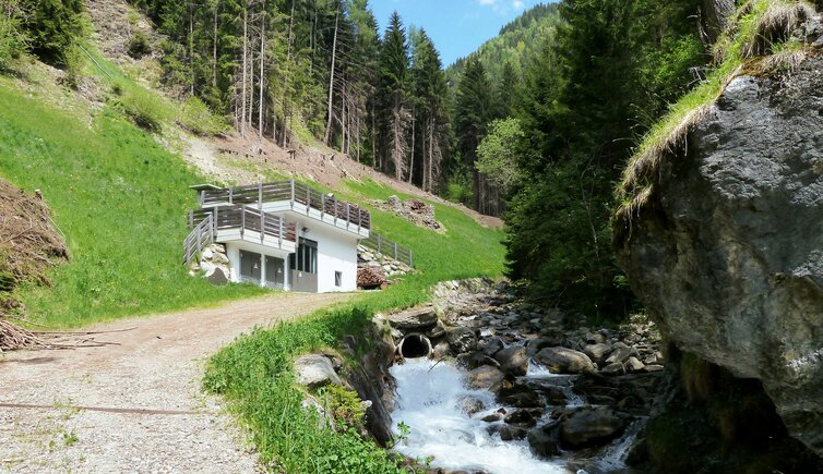
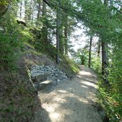
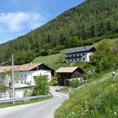
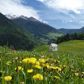
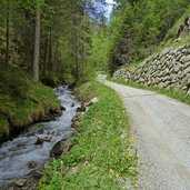
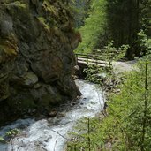
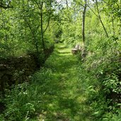
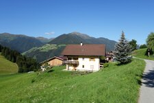
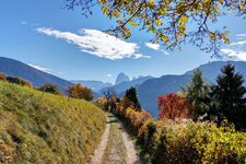
From here we have a splendid view across the Alta Valle Isarco between Campo di Trens and Vipiteno, the Alpi dello Stubai and della Zillertal (Stubaier- and Zillertaler Alpen) in the background. The path 2A proceeds further upwards to Flanes (Niederflans, 1,290 m asl.), which is a cluster of few farm houses in the meadows. Now we follow the marker no. 3A across the meadows downwards to the valley of the Sengen creek. After a short steep section we reach the forest road at the bottom of the valley, which exit is a wild and romantic gorge.
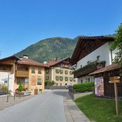
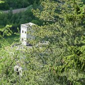
We follow the creek Mules down to the picturesque village of Mules and take the marker no. 2B which leads us back via the Welfenstein Castle to Valgenauna and Maria Trens.
Author: AT
-
- Starting point:
- Maria Trens (Campo di Trens/Freienfeld)
-
- Time required:
- 03:55 h
-
- Track length:
- 12,1 km
-
- Altitude:
- from 926 m to 1.290 m
-
- Altitude difference:
- +549 m | -549 m
-
- Signposts:
- 2A, 3A, 2, 2B, 2A
-
- Recommended time of year:
- Jan Feb Mar Apr May Jun Jul Aug Sep Oct Nov Dec
-
- Download GPX track:
- Hike to San Valentino and Mules
If you want to do this hike, we suggest you to check the weather and trail conditions in advance and on site before setting out.
