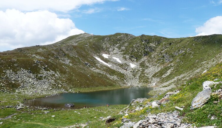
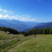
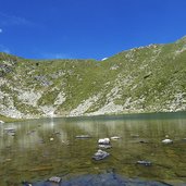
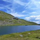
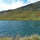
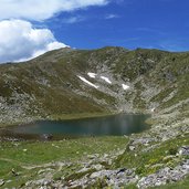
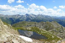
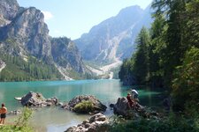
The Lago Rodella lake is located on a western slope above Bressanone at 2,250 m a.s.l. - from the Kühhof farm at Lazfons start one of the easiest ways of ascent to Lake Rodella
Image gallery: Hike from Lazfons to the Lago Rodella lake
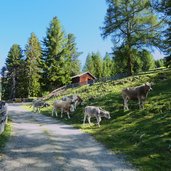
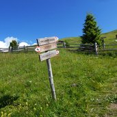
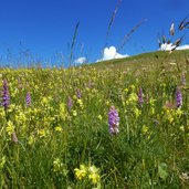
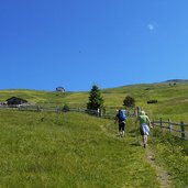
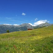
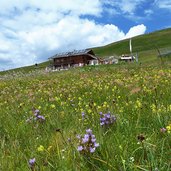
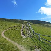
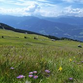
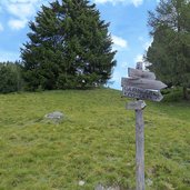
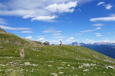
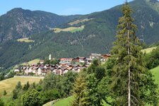
From Velturno (Feldthurns) via Lazfons (Latzfons) we reach the parking space at the Kühhof farm, the best starting point for the walk to Lake Rodella. We follow the signpost no. 14, leading us through the forests and larch meadows up to the Alpine pastures. After about one hour of walking we reach the Brugger Schupfe mountain hut, in the middle of meadows in full blossom on the sunny side of the Valle Isarco. From here we walk up, following the signpost no. 10, on the trail that directly leads to the Lago di Rodella lake.
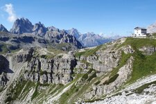
Above the mountain lake, featuring different colours of blue and turquoise, there is also the Rif. Col Rodella mountain hut, ideal for a stop. It is a sunny place for sun worshippers and those who love mountains and nature. If that might still not be enough, you can scale the Monte Pascolo mountain. On our way back we decide to stop at the Brugger Schupfe mountain hut, where we take the path no. 10 for the way back to the Kühhof farm.
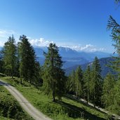
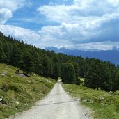
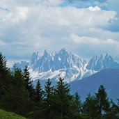
First this path follows the forested road, then it leads us through the woods, before we reach the parking space. By the way, if you choose to do this tour on a clear day like this, you can look forward to a fabulous view on the Dolomites. The Brugger Schupfe hut is actually closed (2021).
Author: AT
-
- Starting point:
- parking space Kühhof (can be reached via the road Chiusa / Velturno / Lazfons)
-
- Time required:
- 04:15 h
-
- Track length:
- 11,9 km
-
- Altitude:
- from 1.573 m to 2.269 m
-
- Altitude difference:
- +751 m | -751 m
-
- Signposts:
- no. 14, 10
-
- Destination:
- Radlsee Hütte mountain hut
-
- Resting points:
- Brugger Schupfe, Radlsee Hütte
-
- Recommended time of year:
- Jan Feb Mar Apr May Jun Jul Aug Sep Oct Nov Dec
-
- Download GPX track:
- Hike from Lazfons to the Lago Rodella lake
If you want to do this hike, we suggest you to check the weather and trail conditions in advance and on site before setting out.
