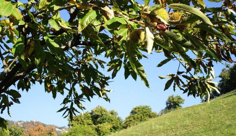
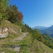
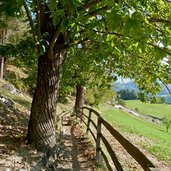
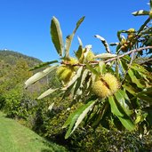
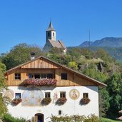
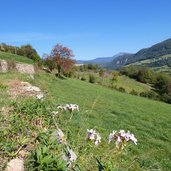
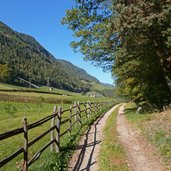
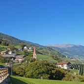
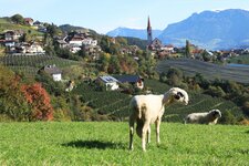
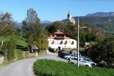
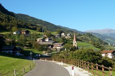
The longest (17 km) but probably most beautiful stage of the Chestnut Trail is the one from Auna di Sotto to Sant’Ingenuino
Image gallery: Chestnut Trail, stage 2
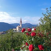
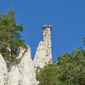
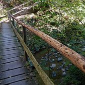
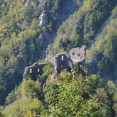
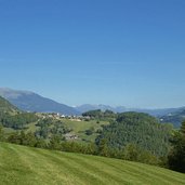
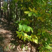
From the centre of Auna di Sotto (reachable by bus from Bolzano and Renon), we pass the church before we hike across fruit orchards and into a deciduous forest. Having crossed the narrow ravine of the Steger stream and passed the Castelpietra ruin, we arrive at the sunny slopes under the small village of Siffiano. Following the signposts towards Longostagno, we cross another forest and the valley of the Finsterbach stream.
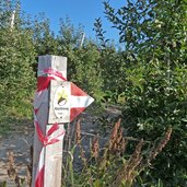
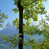
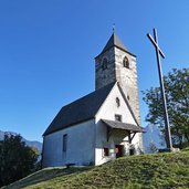
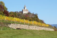
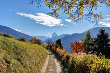
At the beginning of the last ascent to Longostagno we follow the signpost "Keschtnweg Antlas". This trail leads us across the beautiful sunny meadows of the Antlas farms and the St. Andreas church. From here, we enjoy a wonderful view of Mount Sciliar. We continue our hiking tour through a beautiful landscape of meadows and forests. After a short section on an asphalted road we reach a trail with stations of the cross leading to the small Santa Verena Church.
From here, we head towards the narrow asphalted road leading from Renon to Barbiano (Barbian). Arrived at Sant'Ingenuino (Saubach), we take the bus to Ponte Gardena (Waidbruck), and from Ponte Gardena the train back to Bolzano (Bozen).
Author: AT
-
- Starting point:
- Auna di Sotto (Renon)
-
- Time required:
- 05:00 h
-
- Track length:
- 16,6 km
-
- Altitude:
- from 749 m to 961 m
-
- Altitude difference:
- +414 m | -562 m
-
- Signposts:
- "Keschtnweg“
-
- Destination:
- Sant'Ingenuino (Barbiano)
-
- Recommended time of year:
- Jan Feb Mar Apr May Jun Jul Aug Sep Oct Nov Dec
-
- Download GPX track:
- Chestnut Trail, stage 2
If you want to do this hike, we suggest you to check the weather and trail conditions in advance and on site before setting out.
