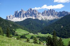
Traversing two famous Dolomite wind gaps and through the heart of the Puez-Odle Nature Park
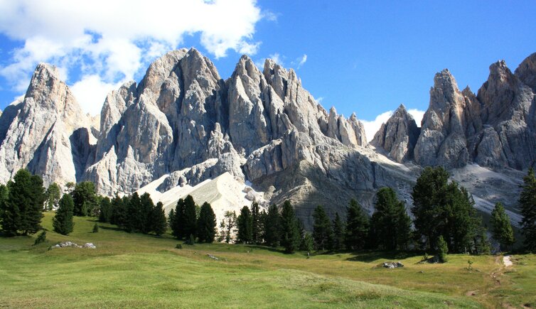
Image gallery: Hike across the Forcella della Roa and Forcella di Mesdì
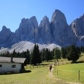
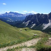
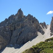
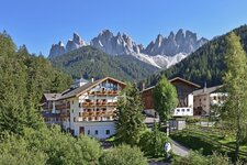
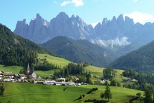
Our walk for mountaineers with kilter starts at the parking space of the Malga di Zannes (1,685 m a.s.l.) in the Val di Funes valley (subject to charges). This is where we take the path no. 33 until the first crossing of ways, where we take the right and follow the path towards the Malga Glatsch (alternatively continue straight on, shorter but less impressive). At the Malga Glatsch mountain hut (1,902 m a.s.l.) the forest clears up, this is where the mighty Odle mountains dominate the scenery. We turn off to the left and take the "Adolf Munkel Weg", stretching along the foot of the Odle mountains. Via the Ciancenon mountain hut our path leads towards the Passo Furcia/Kreuzjoch, where we can enjoy the Odle mountain peaks from an unusual perspective.
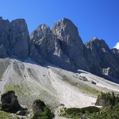
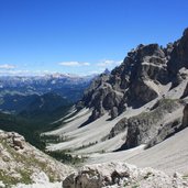
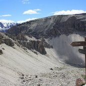
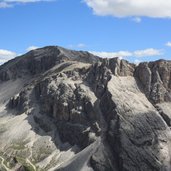
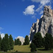
From the Passo Furcia (2,293 m a.s.l.) we can also look down on the Val Badia, the mountain pastures Munt de Vila and the Santa Croce mountain range. On the path no. 3 and later on the Dolomite high path no. 2 we continue towards the impressive Piz Duleda mountain. In zigzag we walk up the Forcella della Roa, the right shoulder of the Piz Duleda mountain. On the wind gap (2,617 m a.s.l.), providing by the way a fabulous view on the Puez mountains, the fixed rope route to the Piz Duleda sets off, but we take the path that leads down the Valle di Roa, following the signposts "Regensburger Hütte/Rif. Firenze". The Odle mountains show their back, and in the middle of them, there is the well-known Dolomite wind gap Forcella di Mesdì/Mittagsscharte.
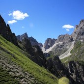
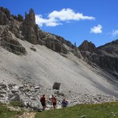
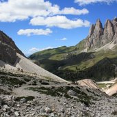
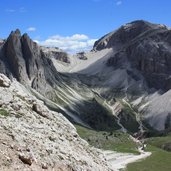
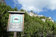
On the path no. 2b we head for this wind gap, on a relatively narrow and steep mountain path, that requires sure-footedness. Walking at the foot of the Sass Rigais and his brothers, an impressive experience. From the Forcella di Mesdì (2,597 m a.s.l.) we enjoy the view of the Val di Funes and far beyond. In zigzag we walk down the steep path, down the cirque at the foot of the Odle mountains. At a turn-off we take the path towards the Malga Gschnagenhart and Geisleralm mountain huts. This is where we follow the signposts to Zans, back to the parking space. When we finally get there we are rich in impressions but rather exhausted. Highly impressive circular tour for athletic hikers, that provides an insight into the Puez Odle Nature Park. The composition of the paths is good, but in some stages the ascents and descents reuire sure-footedness. You need to be used to walking in the mountains. Also possible in counter-clockwise direction.
Author: BS
-
- Starting point:
- Malga Zannes, Funes
-
- Time required:
- 08:00 h
-
- Track length:
- 20,5 km
-
- Altitude:
- from 1.657 m to 2.617 m
-
- Altitude difference:
- +1664 m | -1664 m
-
- Signposts:
- 33, Adolf-Munkelweg, 3, Dolomiten-Höhenweg Nr. 2, 2b, 34, 33
-
- Recommended time of year:
- Jan Feb Mar Apr May Jun Jul Aug Sep Oct Nov Dec
-
- Download GPX track:
- Hike across the Forcella della Roa and Forcella di Mesdì
If you want to do this tour, we suggest you to check the weather and trail conditions in advance and on site before setting out.
