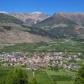
A discovery tour in the surrounding of Lasa: Today we enjoy a varied day-walk on the Montetramontana mountain in the Val Venosta
Image gallery: Hike via Cengles to the Marble Railway of Lasa
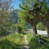
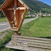
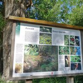
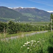
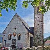
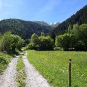
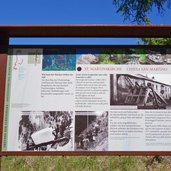
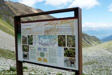
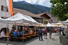
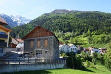
Our walking tour starts in Oris (Eyrs) near Lasa. We follow the road towards Cengles (Tschengls) and shortly before the village entrance we take the Claudia Augusta Cycle Route towards Prato allo Stelvio through the meadows of Cengles. After a side trip through the biotope we reach the village of Cengles and visit the parish church in the beautiful ancient centre.
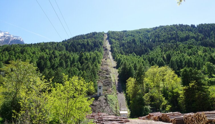
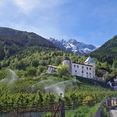
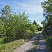
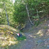
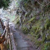
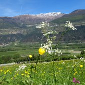
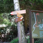
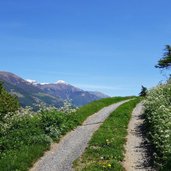
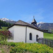
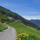
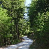
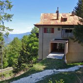
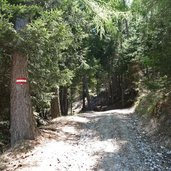
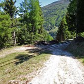
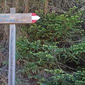
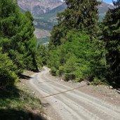
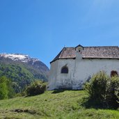
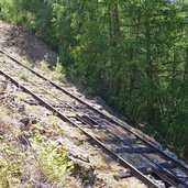
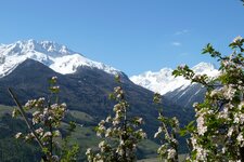
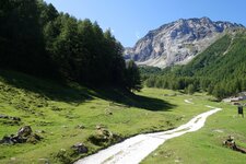
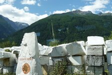
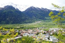
Then we take the path no. 3 towards Lasa. First along a forest road, then via a moderately severe trail, we walk towards east at the slope of the Montetramontana mountain (Nörderberg). After few km, we reach the Schgumsertal valley, here we have to walk uphill to Parnetz, located amidst blooming meadows at approx. 1,200 m a.s.l. We enjoy a gorgeous view across the valley and on the opposite Monte Sole mountain. At the chapel we turn right and follow the asphalted path until the forest where it turns into a forest path. Eye-catching is the sparkling white gravel on the path, on closer inspection we see, that it is marble. At the highest point of our tour we then reach the mountain station of the railway, which brings the blocks of marble down into the valley.
The descent along the so-called "Bremsweg" and "Schrägbahnweg" paths is quite steep, but easy to walk. Like this we reach the valley bottom in a short time. By the Val Venosta Railway we come back from Lasa to Oris again.
Author: AT
-
- Starting point:
- Oris (railway station)
-
- Time required:
- 04:00 h
-
- Track length:
- 13,2 km
-
- Altitude:
- from 867 m to 1.387 m
-
- Altitude difference:
- +631 m | -638 m
-
- Signposts:
- Cengles, 3, 3B, 14, 13
-
- Destination:
- Lasa (railway station)
-
- Recommended time of year:
- Jan Feb Mar Apr May Jun Jul Aug Sep Oct Nov Dec
-
- Download GPX track:
- Hike via Cengles to the Marble Railway of Lasa
If you want to do this hike, we suggest you to check the weather and trail conditions in advance and on site before setting out.
