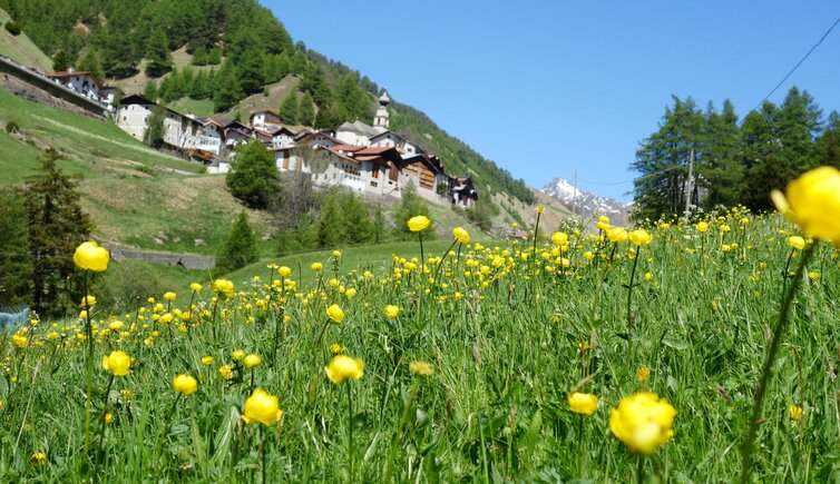
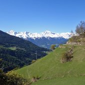
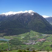
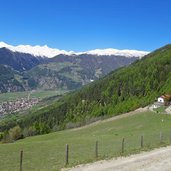
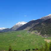
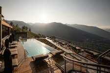
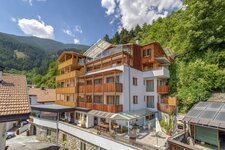
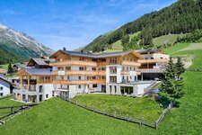
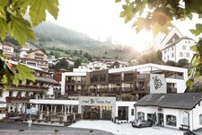
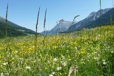
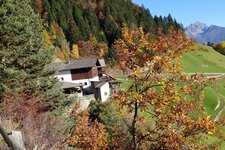
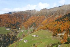
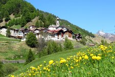
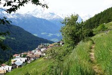
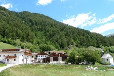
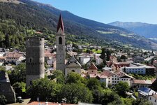
Whether in spring, summer or autumn - this section of the Val Venosta High Route is not demanding and offers gorgeous views on one of the most beautiful parts of the Val Venosta valley
Image gallery: Val Venosta High Route from Mazia to Planol
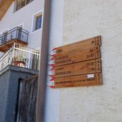
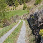
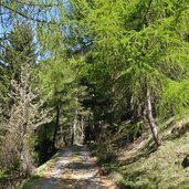
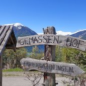
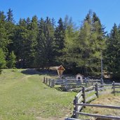
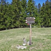
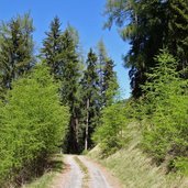
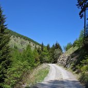
To reach our starting point Mazia (Matsch) we take the Citybus in Malles (Mals). In the village centre of Mazia we follow the signpost "Vinschger Höhenweg" (Val Venosta High Route). The path first proceeds uphill, then it runs with moderate height difference along the slope towards southwest. Mostly we walk on wide and easy paths which lead us through mixed and larch forests.
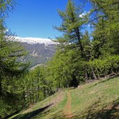
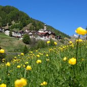
After about 3 km a short section leads us downhill towards the farms of Monteschino (Muntatschinig), but shortly before we reach the hamlet the path proceeds again to the wood, towards Malettes. Then the Val Venosta High Route proceeds through the larch forest downhill to the Malles Heath beneath the hamlets of Ultimo and Alsago. At the end, a last ascent of about 250 m has to be managed: The route takes us to the beautiful mountain village of Planol (Planeil), steeply located on the sunny slope. From here we return to Malles by bus.
If you want to take the bus, please first inform yourself about the actual timetables because the mentioned bus stops are served only few times a day, on Sundays and public holidays not at all.
Author: AT
-
- Starting point:
- Mazia (village centre)
-
- Time required:
- 03:45 h
-
- Track length:
- 14,1 km
-
- Altitude:
- from 1.367 m to 1.634 m
-
- Altitude difference:
- +535 m | -525 m
-
- Signposts:
- "Vinschger Höhenweg"
-
- Destination:
- Planol (village)
-
- Recommended time of year:
- Jan Feb Mar Apr May Jun Jul Aug Sep Oct Nov Dec
-
- Download GPX track:
- Val Venosta High Route from Mazia to Planol
If you want to do this hike, we suggest you to check the weather and trail conditions in advance and on site before setting out.
