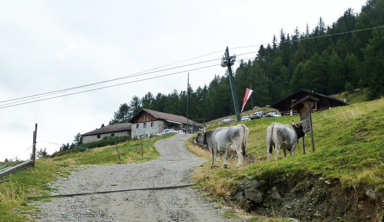
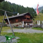
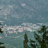
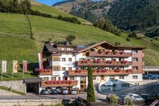
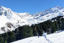
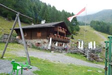
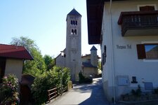
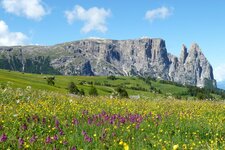
The Tarres Mountain Hut is considered the highlight in the area of Laces in the Val Venosta valley: From Tarres to the Alpine pasture you need to overcome 800 m of altitude difference
Image gallery: Hike to the Alpe di Tarres hut
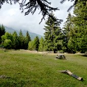
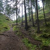
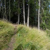
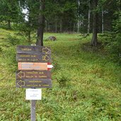
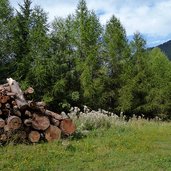
The area in the south of Tarres (Tarsch) near Laces is characterised by a dense mixed and coniferous forest. The little road takes from the village to a parking space at the lower terminus of the Tarres Chairlift. This is where our walk starts: We follow the trail no. 1 to the Tarres Mountain Hut (Tarscher Alm). At the beginning the trail leads in western direction, without any considerable ascent, along a forested trail. After a clearing, the trail becomes steeper and more rough.
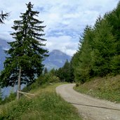
The trail leading to the hut at 1,940 m a.s.l. is about 4 km long. Only at its very end, the Alpine meadows replace the dense forest. The Tarres Mountain Hut is both very popular with vacationers and locals. After a well-deserved break we start walking back down, not on the steep forest trail, but along the forested road which after a short section branches off to the left.
It takes down to the parking space in a series of hairpin bends. Highly impressive is this walk for those who love nature and those who love dense and shady forests.
Author: AT
-
- Starting point:
- parking space at the valley station of the Tarres Chairlift
-
- Time required:
- 03:50 h
-
- Track length:
- 10,1 km
-
- Altitude:
- from 1.174 m to 1.943 m
-
- Altitude difference:
- +770 m | -770 m
-
- Signposts:
- no. 1, forest road "Tarscher Alm"
-
- Destination:
- Tarscher Alm
-
- Resting points:
- Tarscher Alm
-
- Recommended time of year:
- Jan Feb Mar Apr May Jun Jul Aug Sep Oct Nov Dec
-
- Download GPX track:
- Hike to the Alpe di Tarres hut
If you want to do this hike, we suggest you to check the weather and trail conditions in advance and on site before setting out.
