A circular walk along the Waalweg paths in Sluderno leads from Castel Coira down into the gorge of the Rio Saldura brook
Image gallery: Circular hike Castel Coira - Edelweiss Path
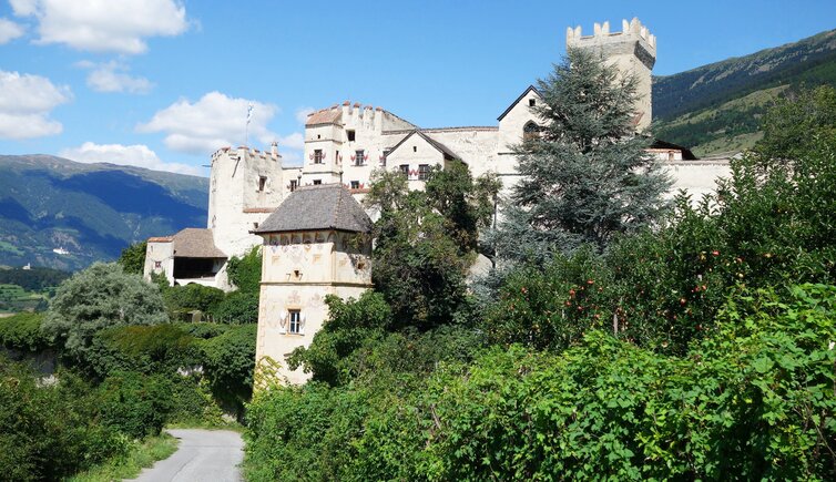
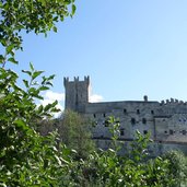
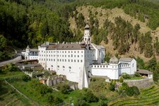
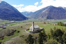
Our hike starts on a wonderful August day with a visit to Castel Coira (Churburg) in Sluderno (Schluderns). The medieval fortress, one of the most visited and best preserved castles of South Tyrol, has been at the top of our wish list for a long time. And it's worth it: Built in 1250, it presents itself today with a spectacular frescoed arcade and Europe's largest private armoury. After the guided visit, which takes about an hour, we decide to discover also the surroundings. The view from Castel Coira opens to Glorenza, one of the smallest towns in the Alps, and the Abbey of Monte Maria, the highest located Benedictine Abbey of Europe.
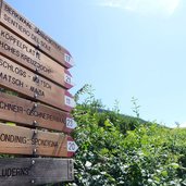
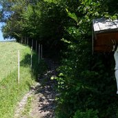
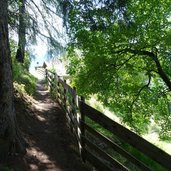
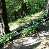
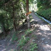
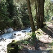
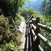
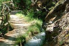
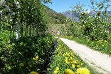
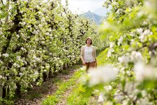
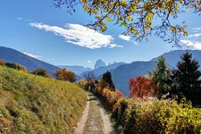
The Vicolo Castel Coira alley continues to the right of the castle on an asphalt road, leading past pear and apple trees, hazel bushes and walnut trees, to the junction with the path no. 17. This small trail leads uphill along the edge of the apple orchards. The panoramic view on the Val Venosta valley accompanies us. After about 30 minutes walking time we reach the Vernalhof at 1,150 m a.s.l., a mountain farm offering holiday apartments. Instead of proceeding straight ahead, we head into the woods and to the so-called "Waale" (Leitenwaal - Berkwaal). We follow these old water channels used for irrigation until the junction with the trail no. 18B, the so-called "Edelweisssteig" (Edelweiss Path), which takes us down into the gorge of the Rio Saldura brook.
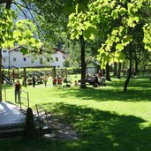
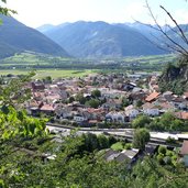
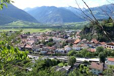
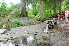
After a steep hike a bridge leads us to the "Griggwaal", the water channel which accompanies us back to Sluderno. After more than an hour we reach a beautiful playground and fairground, embedded in the nature at the edge of the village. It is a real highlight if you are hiking with kids! Right before the playground, the small path no. 18A leads up the hill - it offers a beautiful view on the roofs of Sluderno, and finally we turn back to Castel Coira through an apple orchard. If you have more time and want to hike longer, you may do the alternative (and longer) tour which leads also past the archaeological site of Ganglegg!
Author: MS
-
- Starting point:
- Castel Coira in Sluderno
-
- Time required:
- 01:30 h
-
- Track length:
- 4,2 km
-
- Altitude:
- from 943 m to 1.159 m
-
- Altitude difference:
- +237 m | -237 m
-
- Signposts:
- no. 17 (Sentiero del Sole), 18B ("Edelweisssteig"), "Schluderns" (Sluderno), 18A
-
- Recommended time of year:
- Jan Feb Mar Apr May Jun Jul Aug Sep Oct Nov Dec
-
- Download GPX track:
- Circular hike Castel Coira - Edelweiss Path
If you want to do this hike, we suggest you to check the weather and trail conditions in advance and on site before setting out.
