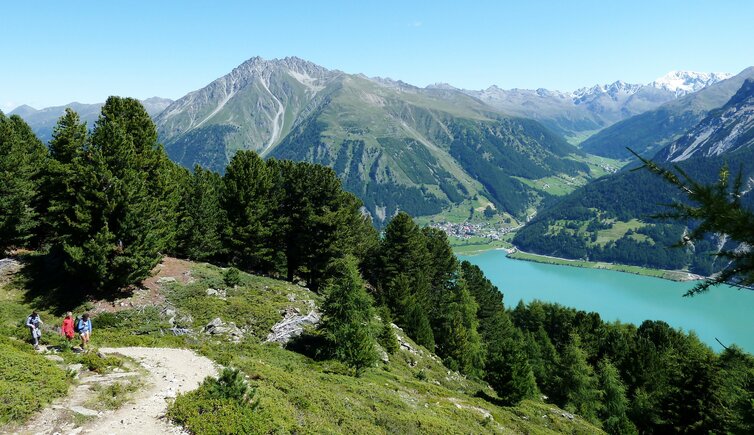
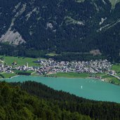
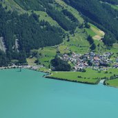
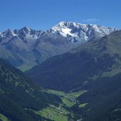
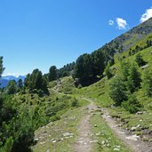
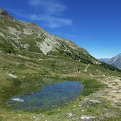
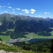
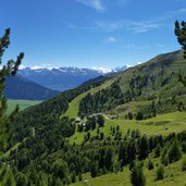
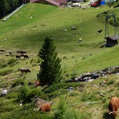
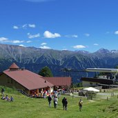
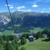
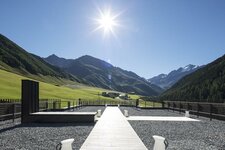
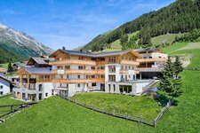
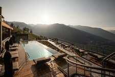
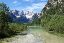
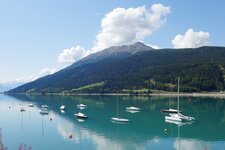
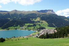
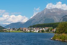
A nice high route connects the two alpine pastures above the Lake Resia and Lake San Valentino alla Muta: During this hike we enjoy stunning panoramic views
Image gallery: Hike from Belpiano to the Malga San Valentino
Note: From the end of March to June 2024, the water level of Lake Resia will be drastically lowered in order to relocate and secure the state highway and bicycle path.
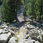
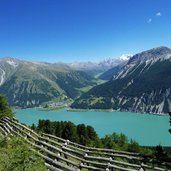
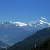
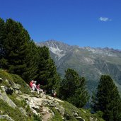
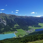
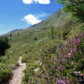
West of the village of Resia (Reschen), we take the cable car up to Belpiano (Schöneben). The hiking path no. 14 proceeds from here towards south. After a short first section, the driveway no. 9B is replaced by a narrow trail (no. 14) which proceeds along the slope with a moderate height difference. We are hiking along the timberline, so again and again the view opens up on Lake Resia and Passo di Resia until the Inn Valley in the north and the Ortles Alps in the south.
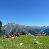
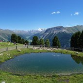
At the Schönputz rest area we find some tables and benches, the ideal spot to enjoy our brought along food. Here we are straight at the level of Curon, behind the Vallelunga valley and the glaciers of Mt. Palla Bianca (3,738 m a.s.l.) are located. The last section leads us to the San Valentino Mountain Hut (Haideralm), located just above the village of San Valentino alla Muta (St. Valentin auf der Haide) and the eponymous lake.
By cable car we come down to the village, where we take the bus back to Resia (near our starting point). Since the hike is not very long, you can also walk back from the mountain hut to Belpiano.
Author: AT
-
- Starting point:
- Belpiano near Resia
-
- Time required:
- 02:30 h
-
- Track length:
- 5,9 km
-
- Altitude:
- from 2.113 m to 2.292 m
-
- Altitude difference:
- +212 m | -164 m
-
- Signposts:
- no. 9B, 14
-
- Destination:
- Haideralm / Malga San Valentino
-
- Resting points:
- Skihaus Schöneben, Malga San Valentino
-
- Recommended time of year:
- Jan Feb Mar Apr May Jun Jul Aug Sep Oct Nov Dec
-
- Download GPX track:
- Hike from Belpiano to the Malga San Valentino
If you want to do this hike, we suggest you to check the weather and trail conditions in advance and on site before setting out.
