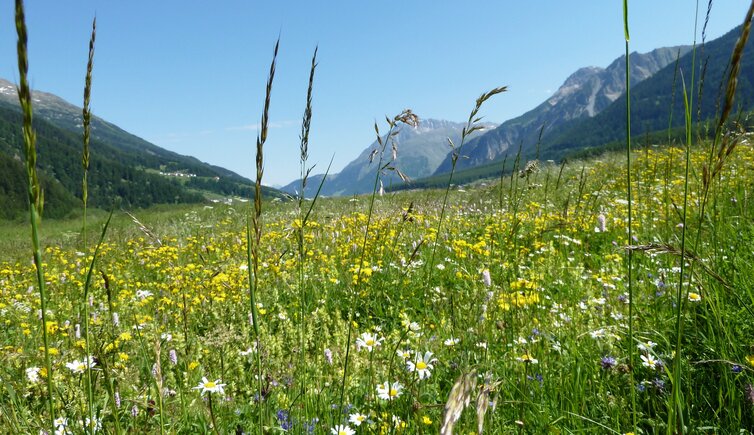
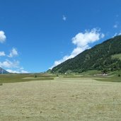
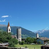
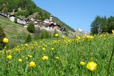
This easy circular walk leads us through the area of the Malles Heath, the biggest scree of the Eastern Alps
Image gallery: Hike across the Malles Heath
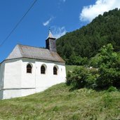
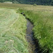
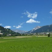
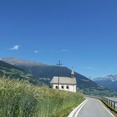
For centuries the Upper Val Venosta was considered to be the "Tyrolean granary". Rye and other types of corn luxuriate here and because of the so-called Waale (irrigation channels) also enough water is available. Our walk starts at the village centre of Malles (Mals), we walk along the Dr. Flora road towards north until the Holy Helpers Chapel where we turn off right into the Via Spinaid road.
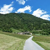
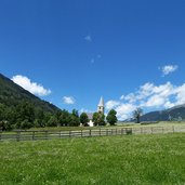
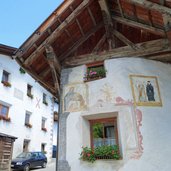
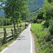
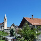
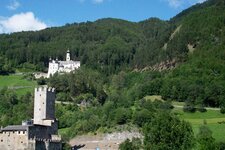
Along the forest edge the road leads upwards to the hamlets Ultimo (Ulten) and Alsago (Alsack). At Ultimo the ascent is done. Here we turn off left into the field road which leads across the entire Heath of Malles (Malser Haide). Like this we reach the village of Burgusio (Burgeis) which is located below the famous Monte Maria Monastery. Burgusio is a picturesque village, plenty of houses are decorated with mural paintings. After a rest we walk on downhill along the bike and walk path towards Clusio (Schleis). From there Malles is not far.
The described route almost entirely leads along asphalt roads, a markable ascent exists only at the beginning. This tour is not recommended on hot days because shadow only hardly can be found. The route can also be done by bike (extensible until San Valentino and Resia).
Author: AT
-
- Starting point:
- Malles (village centre)
-
- Overall time:
- 03:30 h
-
- Total route length:
- 11,5 km
-
- Altitude:
- from 1.059 m to 1.436 m
-
- Altitude difference (uphill | downhill):
- +391 m | -391 m
-
- Route:
- Malles - Ultimo - Burgusio - Clusio - Malles
-
- Signposts:
- 15, Ultimo, Burgusio, 9, 10
-
- Resting points:
- Restaurants at Burgusio
-
- Recommended time of year:
- Jan Feb Mar Apr May Jun Jul Aug Sep Oct Nov Dec
-
- Download GPX track:
- Hike across the Malles Heath
If you want to undertake this hike, we recommend you to check the weather and trail conditions in advance and on site before setting out.
