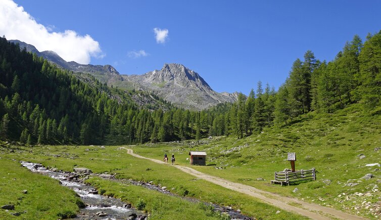
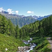
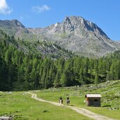
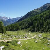
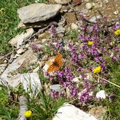
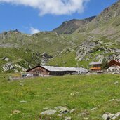
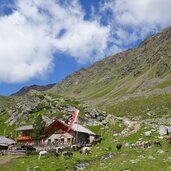
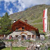
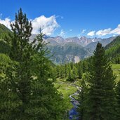
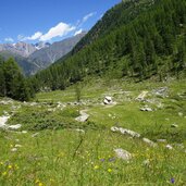
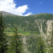
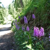
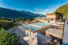
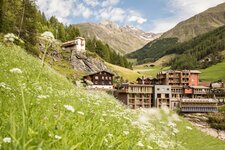
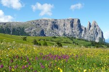
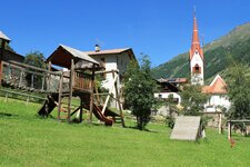
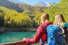
The Malga Penaud is located in a side valley of the Val Senales at 2,320 m a.s.l. and is connected to the village of Certosa via an alpine path
Image gallery: Hike to the Malga Penaud hut
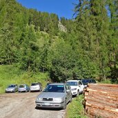
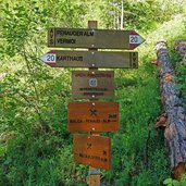
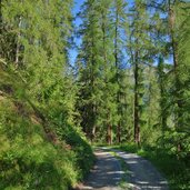
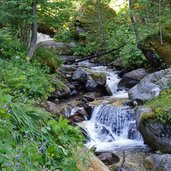
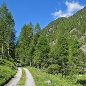
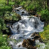
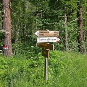
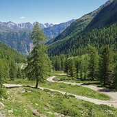
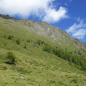
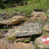
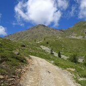
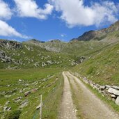
Above Certosa in the Val Senales valley is the hikers' car park at the junction of the forest paths to the Malga Penaud (Penauderalm) and the Klosteralm mountain huts. This is the starting point of our alpine pasture hike. The route description could not be simpler: Marking no. 20 follows the alpine road to the destination. First it leads through the shady forest in a north-westerly direction, then branches off into the Penaud Valley (south-westerly direction). Soon we are accompanied by the murmur of the Penaud Stream. After a little longer ascent, we reach a clearing. The path becomes flatter, then the last altitude step leads upwards above the timberline.
After about two and a half hours, we reach our destination: the Penauder Alm is located at 2,323 m a.s.l. and is the only place to stop in this side valley. So if you haven't brought provisions in your rucksack, you will find a place to eat here. A beautiful alpine landscape, wild mountain peaks and noticeably cooler air compared to the valley - a summer day can really be enjoyed in this area. The descent into the valley follows the same route.
Author: AT
-
- Starting point:
- Karthaus / Certosa, Klosteralm / Penaud Alm parking
-
- Time required:
- 04:20 h
-
- Track length:
- 12,0 km
-
- Altitude:
- from 1.514 m to 2.325 m
-
- Altitude difference:
- +811 m | -811 m
-
- Signposts:
- no. 20
-
- Destination:
- Penaud Alm
-
- Resting points:
- Penaud Alm
-
- Track surface:
- Gravel road
-
- Recommended time of year:
- Jan Feb Mar Apr May Jun Jul Aug Sep Oct Nov Dec
-
- Download GPX track:
- Hike to the Malga Penaud hut
If you want to do this hike, we suggest you to check the weather and trail conditions in advance and on site before setting out.
