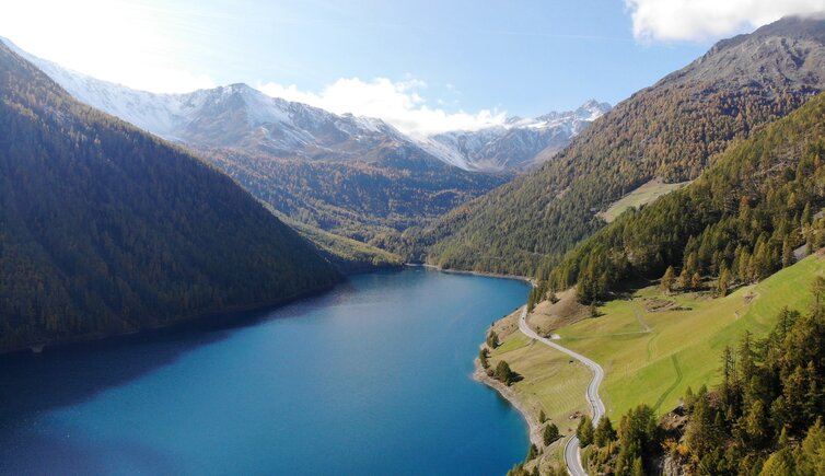
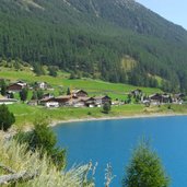
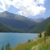
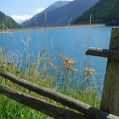
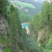
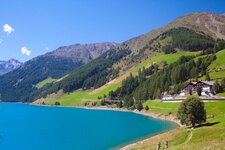
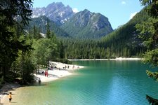
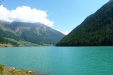
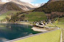
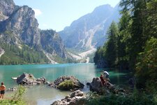
In the beautiful Val Senales, we discover Lake Vernago, an artificial lake of 100 hectares at approx. 1,700 m a.s.l
Image gallery: Hike around Lake Vernago
The little village of Vernago al Lago (Vernagt am See) is located at 1,700 m a.s.l. After having reached the village, we proceed about 3 km along the emerald green lake towards Maso Corto (Kurzras). Shortly after the end of the lake, there is a little path branching off from the main road on the left, where we park our car. After a few steps only, we see the signpost "Seerundweg" (lake circular trail) and follow the indication.
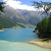
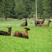
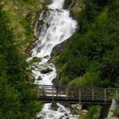
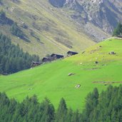
We keep walking close to the lakeside, past waterfalls and llamas on the fields and enjoy the great view of the lake and the mountains of the Val Senales valley. The path can easily be walked. The artificial lake has already been established in the 1950s, when a 65 m high dam was constructed. It is fed by the Senales river, which we also see during our walk. After a walk of about 2 hours (according to the signs about 100 minutes), we reach our starting point again.
Strengthened by a picnic and enriched by the impressions of the Val Senales landscape, we start our journey back home. If you don't have enough, you can also do a mountain tour. In about 3.5 hours from the lake, you reach the Similaun Mountain Hut at 3,019 m a.s.l., and from this place you can proceed to the place of discovery of Oetzi near the Passo di Tisa (Hauslabjoch) at 3,200 m a.s.l. Still today you can see the ancient church soaring from the lake, when the water level is low. When Lake Vernago (Vernagt Stausee) was established, also eight farmsteads were flooded!
Author: DG
-
- Starting point:
- Vernago al Lago
-
- Time required:
- 02:00 h
-
- Track length:
- 6,7 km
-
- Altitude:
- from 1.684 m to 1.759 m
-
- Altitude difference:
- +107 m | -107 m
-
- Signposts:
- "Seerundweg"
-
- Recommended time of year:
- Jan Feb Mar Apr May Jun Jul Aug Sep Oct Nov Dec
-
- Download GPX track:
- Hike around Lake Vernago
If you want to do this hike, we suggest you to check the weather and trail conditions in advance and on site before setting out.
