This short hike leads us via the 1,800 m high Buchsenridl pass to the Putzalm mountain hut at the feet of the Braies Dolomites
Image gallery: Hike from Braies Vecchia to the Malga Putzalm
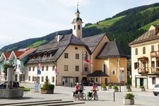
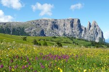
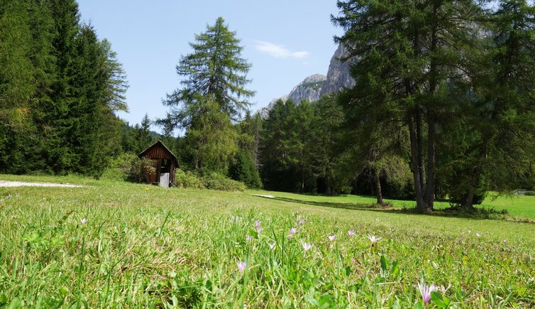
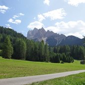
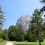
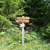
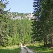
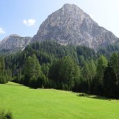
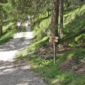
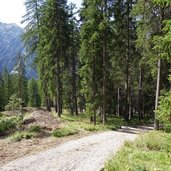
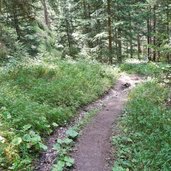
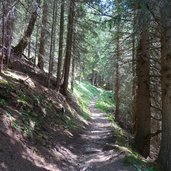
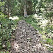
We start our hike in Bagni di Braies Vecchia (Altprags, parking space near the skiing area - bus stop) and follow the signpost no. 15. The trail leads as a gravel road slightly uphill through the meadows towards the edge of the forest - the spectacular Braies Dolomites form the backdrop. The path gets steeper and snakes its way through the forest up to 1,800 m a.s.l.
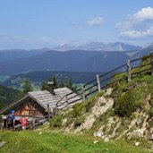
The small Buchsenridl mountain pass represents the border between the municipalities of Braies and Villabassa. This place, located in the drainage area of the Rio Grigio brook (Grabach or Graubach), is situated only few hundred metres from the Putzalm mountain hut. The hut is a lovely rest point offering local dishes, its mountain pastures are located slightly beneath the pass.
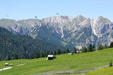
In case of fine weather you can enjoy a wonderful view on the glaciers of the Zillertal Alps and on the main Alpine ridge. We walk back along the same route - if you want to try a more demanding way back, you can climb Mount Alberstein (1,961 m a.s.l.) and the Monte dei Bagni (1,855 m a.s.l.) and descend on the path no. 15A to Bagni di Braies Vecchia, our starting point.
Author: AT
-
- Starting point:
- Bagni di Braies Vecchia
-
- Time required:
- 02:15 h
-
- Track length:
- 4,9 km
-
- Altitude:
- from 1.438 m to 1.790 m
-
- Altitude difference:
- +397 m | -397 m
-
- Signposts:
- no. 15
-
- Destination:
- Putzalm mountain hut
-
- Resting points:
- Putzalm mountain hut
-
- Recommended time of year:
- Jan Feb Mar Apr May Jun Jul Aug Sep Oct Nov Dec
-
- Download GPX track:
- Hike from Braies Vecchia to the Malga Putzalm
If you want to do this hike, we suggest you to check the weather and trail conditions in advance and on site before setting out.





.JPG)
