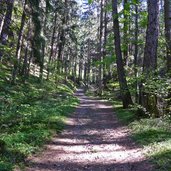
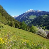
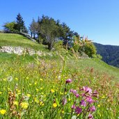
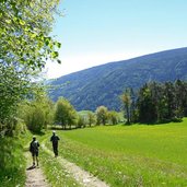
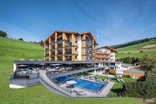
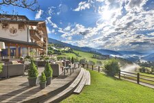
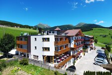
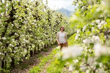
From Vandoies up to Maranza leads a hike trough woods and meadows, recommended especially in spring
Image gallery: Hike to Stöcklhuber and Maranza
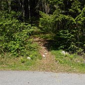
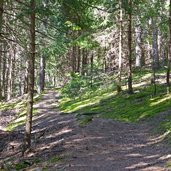
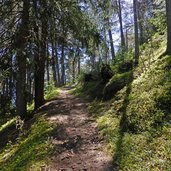
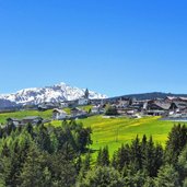
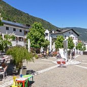
Starting point of our hike to the "Stöcklhuberstöckl" and to Maranza (Meransen) is the village of Vandoies di Sotto (Niedervintl) in the lower Val Pusteria valley. At the village centre we follow the marker "Rundweg Bergl" which first leads us along the forest edge towards west, then turns off right and proceeds uphill. After about 40 minutes we reach the meadows at the entrance of the Valle di Fundres valley. Now we follow the marker towards Maranza (no. 11) which leads us uphill through the forest (alternative: along the asphalt road) straight to the hamlet of Serga (Sergs).
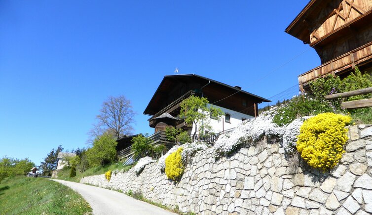
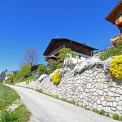
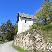
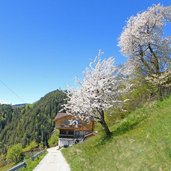
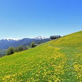
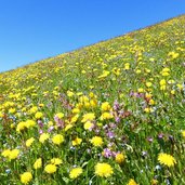
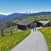
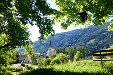
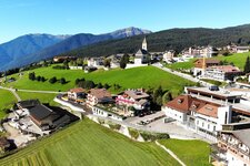
Past old farmyards we reach the Stöcklhuber Farm, where also the so-called "Stöcklhuberstöckl" - a small chapel - is located. Here we take the path no. 11 again towards west. This path proceeds quite flat with few short gradients further until Maranza where the meadows are in full bloom now, in early May.
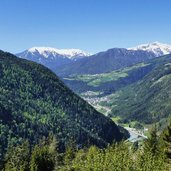
Those who don't want to walk down to Vandoies again can use the Maranza cable car down to the valley where the Val Pusteria Train takes us back to our starting point, Vandoies di Sotto.
Author: AT
-
- Starting point:
- Vandoies di Sotto
-
- Time required:
- 03:05 h
-
- Track length:
- 7,8 km
-
- Altitude:
- from 756 m to 1.388 m
-
- Altitude difference:
- +735 m | -105 m
-
- Signposts:
- "Rundweg Bergl", 11 (Maranza)
-
- Destination:
- Maranza
-
- Recommended time of year:
- Jan Feb Mar Apr May Jun Jul Aug Sep Oct Nov Dec
-
- Download GPX track:
- Hike to Stöcklhuber and Maranza
If you want to do this hike, we suggest you to check the weather and trail conditions in advance and on site before setting out.
