A hike in the Dolomites starting and ending in Selva in the beautiful Val Gardena valley
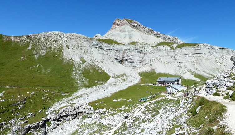
Image gallery: Hike from Selva to the Rifugio Puez hut
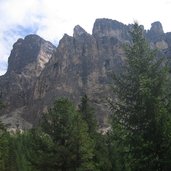
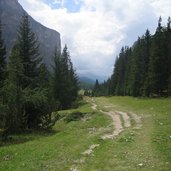
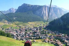
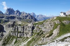
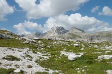
By car you drive to Selva (Wolkenstein) in Val Gardena at 1,638 m a.s.l., where you take the Dantercepies gondola cableway to Passo Gardena. The hike starts on trail no. 12A at the foot of the Cir mountains to Rifugio Jimmis. Soon we reach the main trail of our hike, which is the Dolomite High Path no. 2. Steep hairpin bends take us to Passo Cir at 2,465 m a.s.l., from where we slightly descend to Passo Crespeina. We walk on, still on path no. 2, past Lake Crespeina, to the Ciampei (wind gap). We have now reached the highest point of our hike (2,359 m a.s.l.).
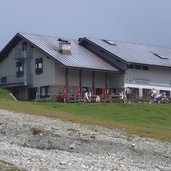
Our hike continues at the west of the Gherdenacia. After about one hour we reach Rifugio Puez (2,481 m a.s.l.). After a short rest we continue walking on the Dolomite high path no. 2. At a crossroads we leave this trail and follow the sign no. 16 and then no. 14 across Vallelunga.
After approximately 3 hours we reach the valley station of the Dantercepies gondola cableway in Selva, from where we started.
Author: MC
-
- Starting point:
- Selva Gardena, Dantercepies cable car mountain station
-
- Time required:
- 05:30 h
-
- Track length:
- 15,3 km
-
- Altitude:
- from 1.610 m to 2.529 m
-
- Altitude difference:
- +549 m | -1202 m
-
- Route:
- Top station Dantercepies cable car, Cir Pass, Crespeina Pass, Forcella Ciampei, Puez Hut, Vallunga, Selva
-
- Signposts:
- 12A, 2, 16, 14, 12A
-
- Destination:
- Puez Alpine Hut (2.475 m)
-
- Resting points:
- Puez Alpine Hut (mid-June to early October)
-
- Recommended time of year:
- Jan Feb Mar Apr May Jun Jul Aug Sep Oct Nov Dec
-
- Download GPX track:
- Hike from Selva to the Rifugio Puez hut
If you want to do this hike, we suggest you to check the weather and trail conditions in advance and on site before setting out.
