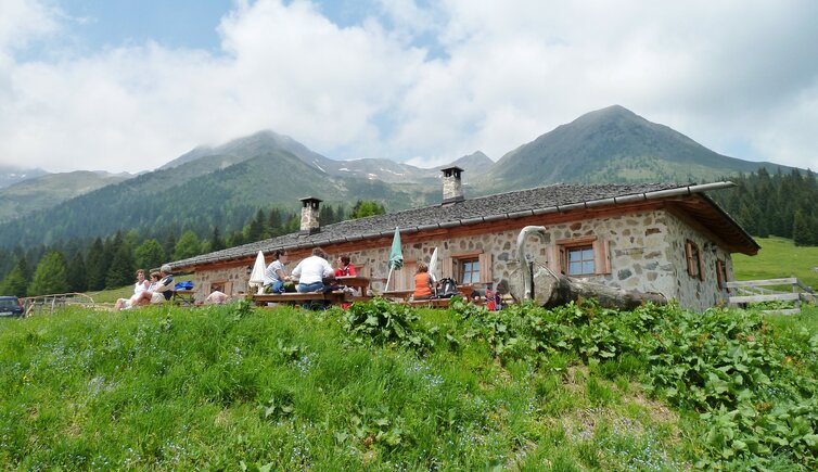
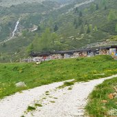
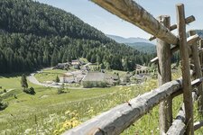
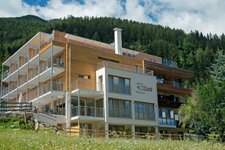
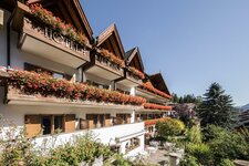
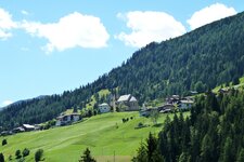
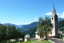
For centuries the area south-westerly of the Passo Castrin is used as Alpine meadows from the German and Italian rural communities
Image gallery: Alpine pasture walk around Proves
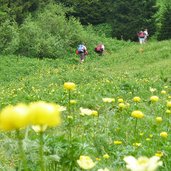
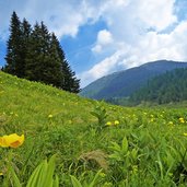
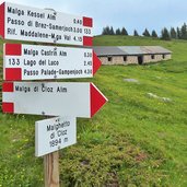
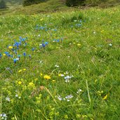
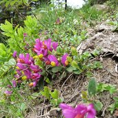
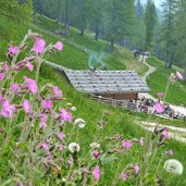
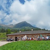
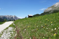
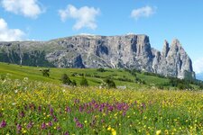
At the end of June the hillsides are covered with a large amount of different flowers fully in bloom: We start our tour at the parking space between the tunnels on the road of the Passo Castrin (Hofmahdjoch). Here is the watershed between the Rio Valsura in the Val d'Ultimo and the Rio Pescara which joins the Santa Giustina Reservoir in the Val di Non valley. The marker no. 8 "Malga Castrin / Hofmahd" (1,814 m a.s.l.) leads us uphill in north direction. After a few minutes through the forest we arrive at the Malga Castrin mountain pasture (Hofmahd Alm) in an ocean of orchids and Alpine flowers. Here the path no. 133 turns left, we walk uphill until the forest.
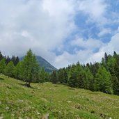
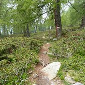
Soon the meadows of the Malghetto di Cloz (Obere Alm) follow. We stay on the path no. 133 which leads us now through the larch and pine forest to the Kessel Mountain Hut (Kesselalm, 1,920 m a.s.l.). This pasture is located in a cirque which is formed by Mt. Cima Belmonte, Mt. Vedetta Alta and Mt. Ometto. At this point the paths to Proves and to the Val d'Ultimo valley cross. We walk the forest road downhill until to the Lower Kessel Mountain Hut (Untere Kesselalm) which operates.
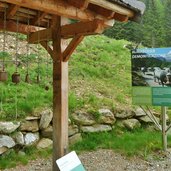
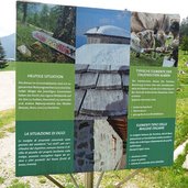
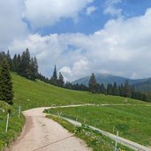
From here we follow our round walk to the Malga Revò and the Malga Cloz mountain huts which are part of the Italian communities in the Val di Non valley and differ totally from the pastures of the German-speaking communities, also in architectural style (stonewalls vs. timber construction). A gentle wide path now leads us back to the parking space. This walking tour is a pleasant hike along a language and culture border and impresses also with a variety of landscapes and flora.
Author: AT
-
- Starting point:
- parking space at the Passo Castrin (immediately after the tunnel, also reachable by bus Ultimo-Proves-Lauregno)
-
- Time required:
- 02:40 h
-
- Track length:
- 7,3 km
-
- Altitude:
- from 1.688 m to 1.935 m
-
- Altitude difference:
- +405 m | -405 m
-
- Route:
- Malghetto Cloz - Obere Kessel Alm - Untere Kessel Alm - Malga Revò - Malga Cloz
-
- Signposts:
- no. 8, 133, 7, 11, 6, 8
-
- Resting points:
- Obere Kessel Alm - Untere Kessel Alm - Malga Revò - Malga Cloz
-
- Recommended time of year:
- Jan Feb Mar Apr May Jun Jul Aug Sep Oct Nov Dec
-
- Download GPX track:
- Alpine pasture walk around Proves
If you want to do this hike, we suggest you to check the weather and trail conditions in advance and on site before setting out.
