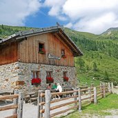
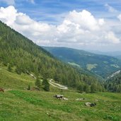
Short mountain walk from Proves in the Alta Val di Non valley to the Malga Manzara at the foot of Mt. Faiden in the Catena delle Maddalene mountain chain
Image gallery: Hike to the Malga Manzara di Proves hut
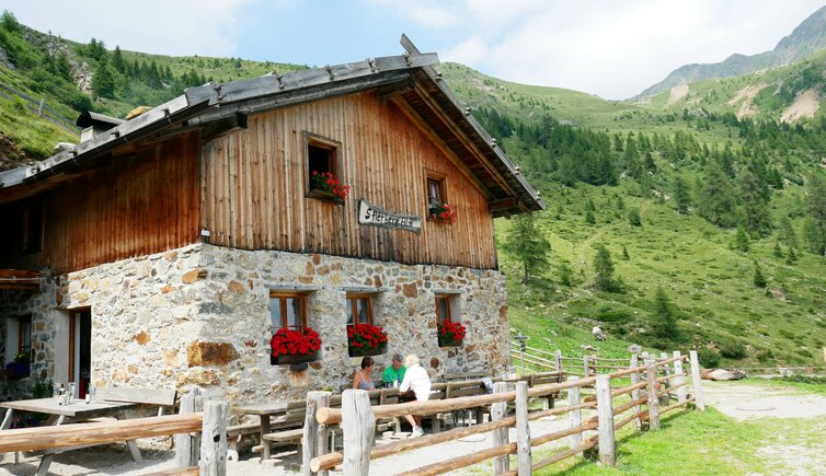
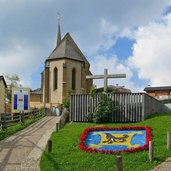
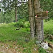
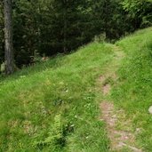
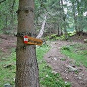
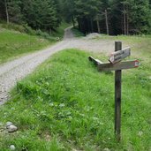
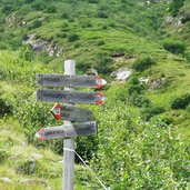
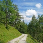
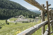
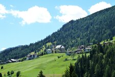
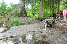
Our hike to the Malga Manzara mountain hut (Stierbergalm, 1,860 a.s.l.) starts in the village centre of Proves (Proveis). We follow the path no. 19 slightly downhill into the valley of the Rio Kirchbach brook where the ascent to the mountain hut starts. Shortly afterwards the trail branches off on the right and follows the river valley across the meadows before entering the forest.
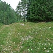
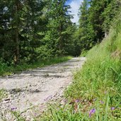
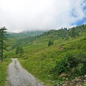
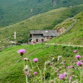
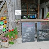
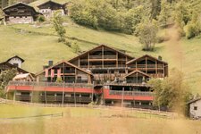
After one hour walk the path becomes a forest road again, leading straight up to the Manzara di Proves Mountain Hut. Finally, after 90 minutes, we leave the forest and reach the surrounding meadows. The cosy hut invites to rest and refuel with new energy - it offers local dishes.
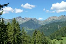
If you want to extend the hike, you can proceed to the Cima Lavazzè Inferiore Pond (Samersee) and Lake Goldlahnsee at 2,318 m a.s.l. or you can hike back on the alternative path no. 12. It proceeds on the 2,000 m high Mt. Faiden and then down into the valley to Proves.
Author: AT
-
- Starting point:
- Proves, village centre
-
- Time required:
- 02:25 h
-
- Track length:
- 7,0 km
-
- Altitude:
- from 1.395 m to 1.834 m
-
- Altitude difference:
- +471 m | -466 m
-
- Signposts:
- no. 19
-
- Destination:
- Malga Manzara mountain hut (Stierbergalm)
-
- Resting points:
- Stierbergalm
-
- Recommended time of year:
- Jan Feb Mar Apr May Jun Jul Aug Sep Oct Nov Dec
-
- Download GPX track:
- Hike to the Malga Manzara di Proves hut
If you want to do this hike, we suggest you to check the weather and trail conditions in advance and on site before setting out.
