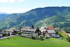
You can explore the entire solar system in the woods and meadows of Collepietra and San Valentino in Campo
Image gallery: Hike on the Planetary Trail

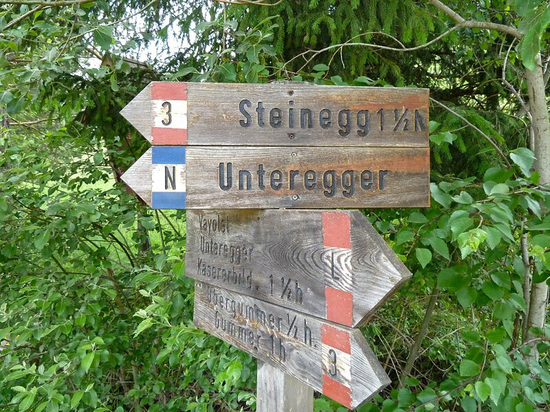
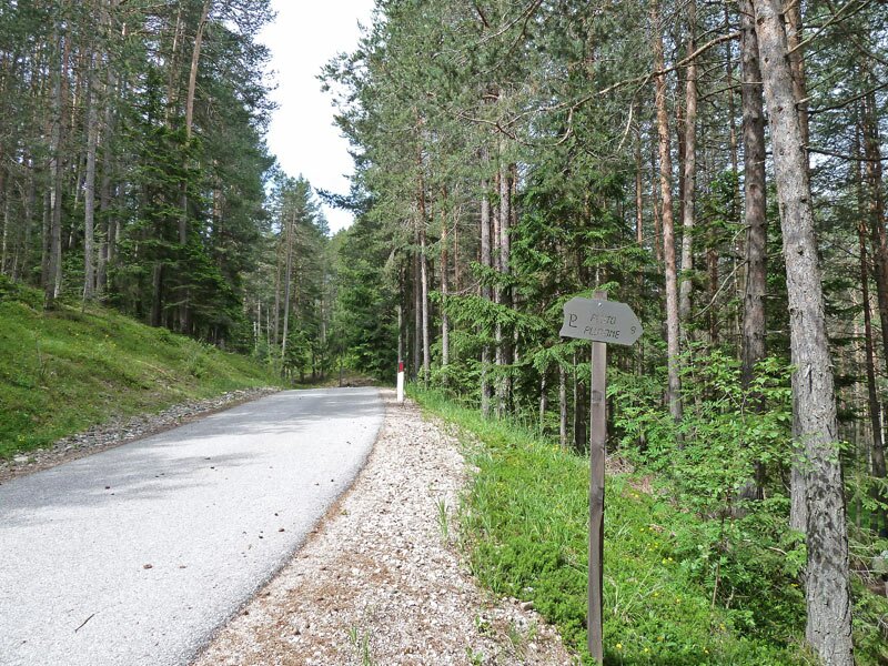

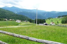
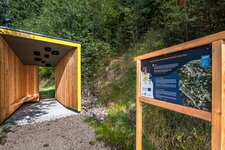
From the car park on the Collepietra-San Valentino in Campo road, we walk along the small road through the woodland and meadow landscape of upper San Valentino in Campo. We first follow the "N" signs to the Unteregger mountain inn until we see the first sign with a "P" for Pluto. We want to visit this celestial body, the furthest from the sun in our solar system, first.
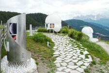
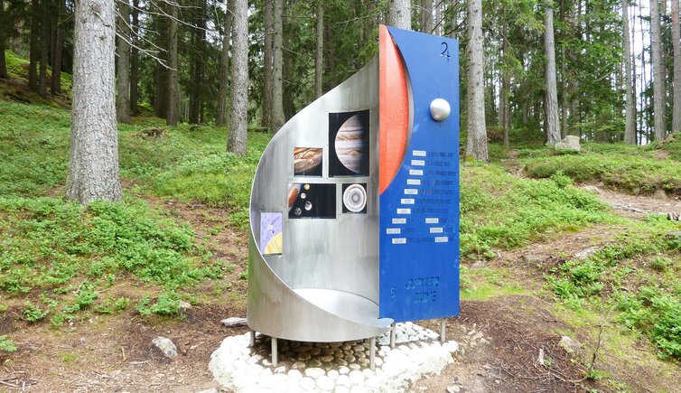
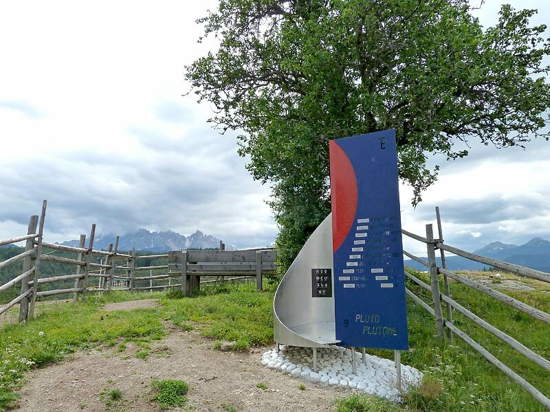
To do this, we have to climb a hill near the Tschigg farm - it is the highest point in Collepietra. The information board for Pluto, the largest and second most massive dwarf planet in the solar system and the longest-known object in the Kuiper belt, stands here. Next, we head to the Unteregger.
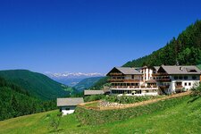
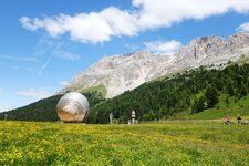
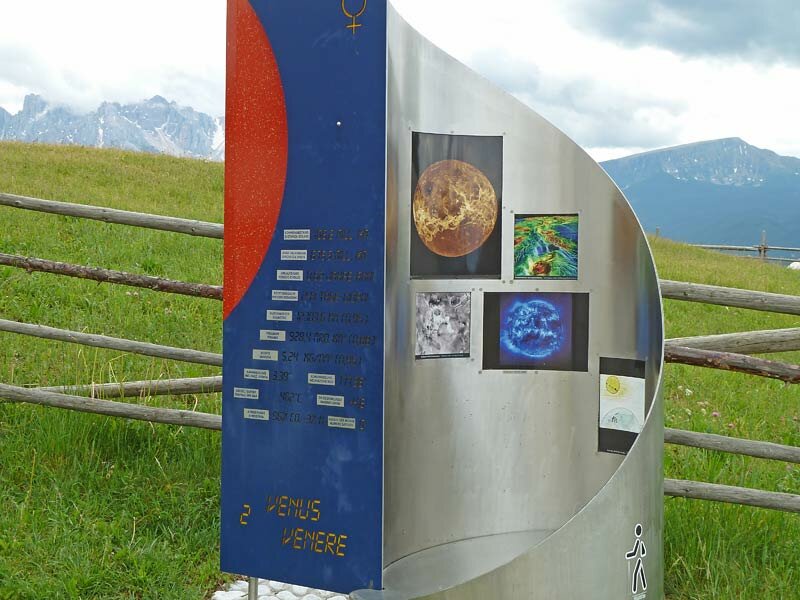
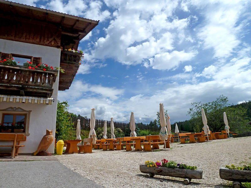
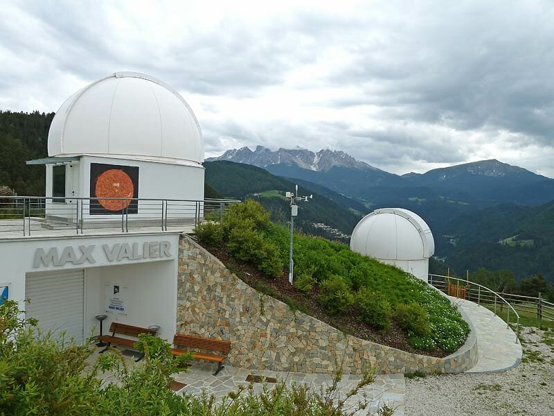
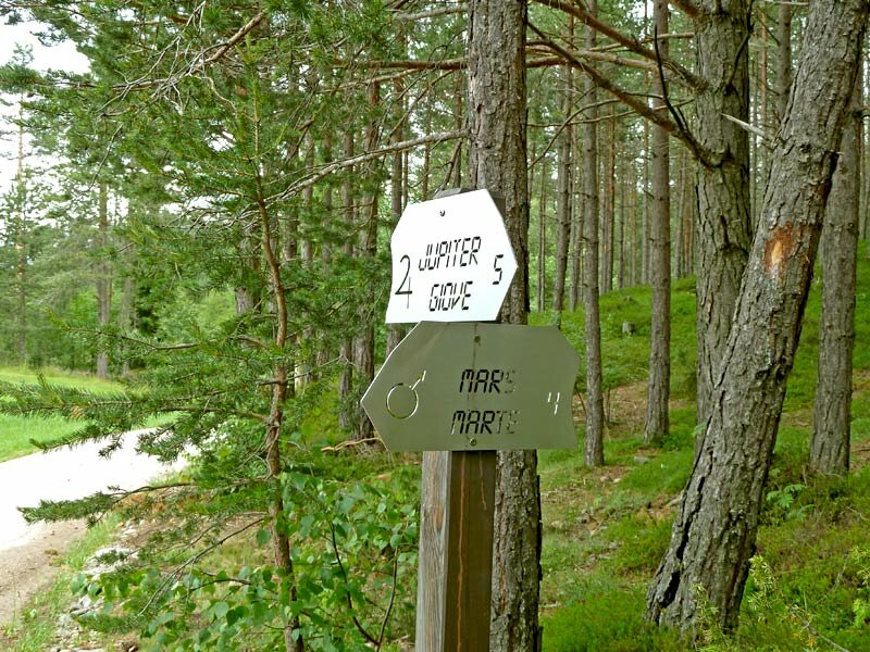
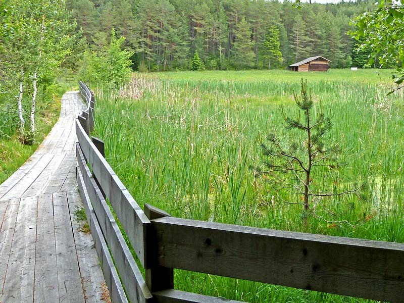
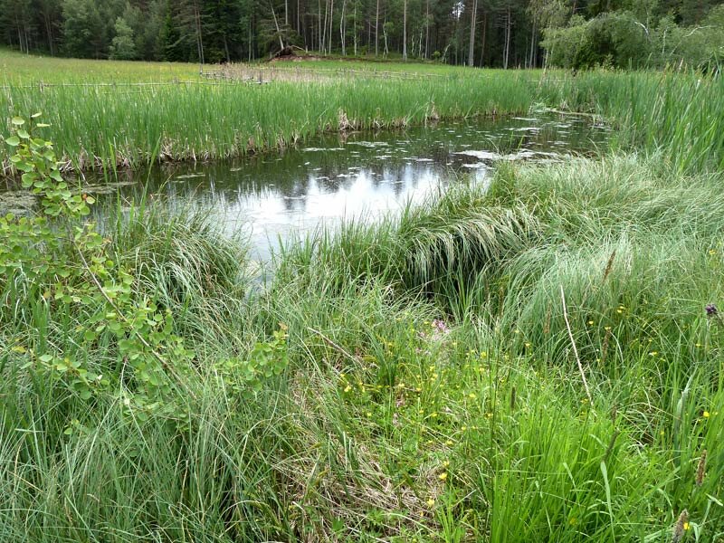
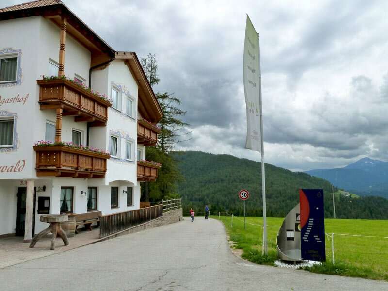
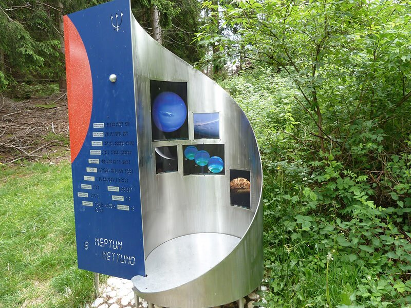
The farmhouse tavern is located directly at the Astronomical Observatory Max Valier, which is the centre of the planet walk and symbolises the sun. We pass the boards for the planets closest to the sun: Mars, Earth, Venus, and Mercury. On the way to Jupiter and Saturn, we walk through a bog where amphibians and dragonflies live. To reach the Uranus and Neptune stations, the planet walk traces wide circles through the forest, leading back to the car park after a three-hour hike.
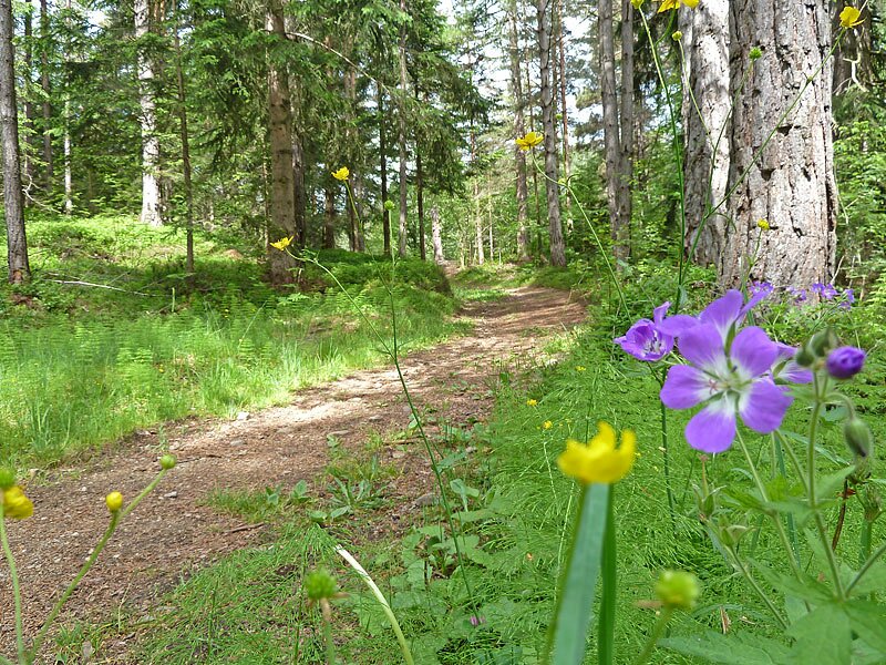
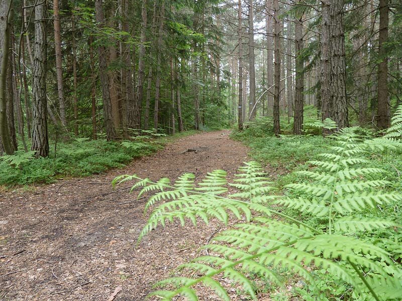
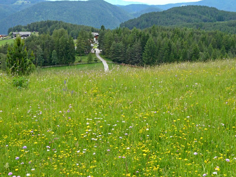
In addition to experiencing the relative distances in the solar system, the meadows, woods, and wetlands also make this walk on the Planetary Trail an interesting experience. By the way, the Star Trail near Collepietra is dedicated to the stars rather than the planets, while the Planetarium South Tyrol shows you the starry sky at any time of day and in any weather.
Author: AT
Experienced: June 2010
Last updated: 2026
-
- Starting point:
- parking space resp. bus stop "Planetenweg" at the road Collepietra-San Valentino in Campo
-
- Overall time:
- 02:50 h
-
- Total route length:
- 8,8 km
-
- Altitude:
- from 1.288 m to 1.425 m
-
- Altitude difference (uphill | downhill):
- +238 m | -238 m
-
- Signposts:
- "Planetenweg", no. 5, 1
-
- Resting points:
- Untereggerhof (end of February to early January)
-
- Recommended time of year:
- Jan Feb Mar Apr May Jun Jul Aug Sep Oct Nov Dec
-
- Download GPX track:
- Hike on the Planetary Trail
-
- More information:
- The overall time shown above refers to the walking time only, not including breaks or stops.
If you want to undertake this hike, we recommend checking the weather and trail conditions in advance and on site before starting this hike!