Relaxing walking tour in the forests of Nova Ponente, high above the Val di Fiemme valley
Image gallery: Hike from the Passo Lavazè to the Malga Ora
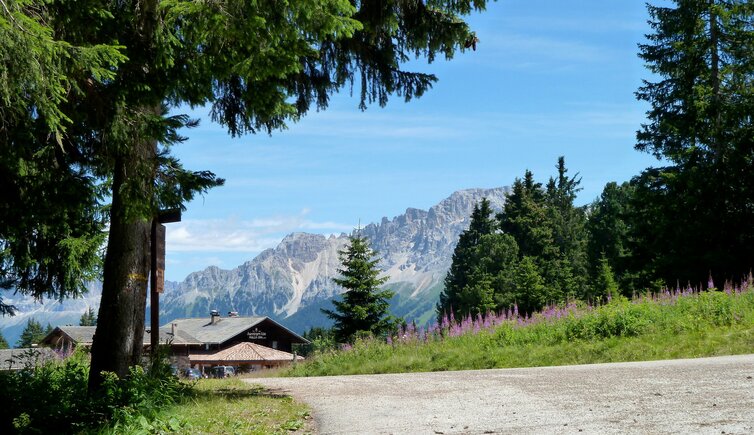
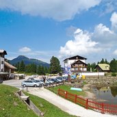
Through the Val d'Ega valley the road brings us up to the Passo Lavazè which is located at 1,805 m a.s.l. and belongs to the district of Varena in the Trentino. The pass is much affected especially by the locals because the area is away from mass tourism, it is very well connected to the network of hiking trails of Nova Ponente and offers about 70 km excellent cross country ski tracks in winter.
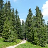
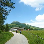
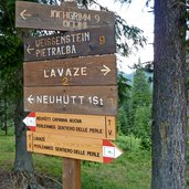
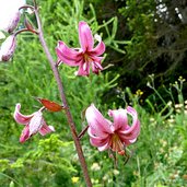
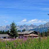
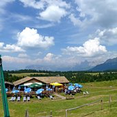
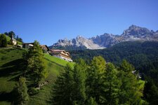
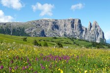
Along the Pearl Path (Perlenweg) it takes us 45 minutes to reach the Ora Mountain Hut (Auerleger Alm, 1,875 m asl.). Because we have great mind to carry on walking we decide to proceed also to the Neuhütt Mountain Hut along the paths no. 1A and 1. The wide forest paths are comfortable to walk, one hour and 4 km later we arrive at the Neuhütt Mountain Hut. It seems to us that it took us only minutes to come here because the walk offered splendid views on the Dolomites (Mt. Sciliar, Mt. Catinaccio, Mt. Latemar and Mt. Pala Santa). Also a big variety of flora can be found here - by the wayside we discover a colony of martagon lilies which are already rare.
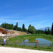
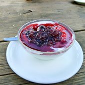
Both mountain huts offer food and service, so we have to decide where to enjoy the deserved delicacies! On the last part of our tour we do a quick side-trip to the Malga Varena-Alm which is located slightly above in the meadows between the Passo Oclini and the Passo Lavazè passes.
Author: AT
-
- Starting point:
- Passo Lavazè
-
- Time required:
- 02:55 h
-
- Track length:
- 12,7 km
-
- Altitude:
- from 1.789 m to 1.956 m
-
- Altitude difference:
- +359 m | -359 m
-
- Signposts:
- Perlenweg, 1A, 1
-
- Destination:
- Neuhütt/Capanna Nuova
-
- Resting points:
- Auerleger mountain hut, Neuhütt mountain hut
-
- Recommended time of year:
- Jan Feb Mar Apr May Jun Jul Aug Sep Oct Nov Dec
-
- Download GPX track:
- Hike from the Passo Lavazè to the Malga Ora
If you want to do this hike, we suggest you to check the weather and trail conditions in advance and on site before setting out.
