Easy Alpine pasture walk in the Val di Fiemme to Anterivo which leads through the beautiful forests of the Monte Corno Nature Park
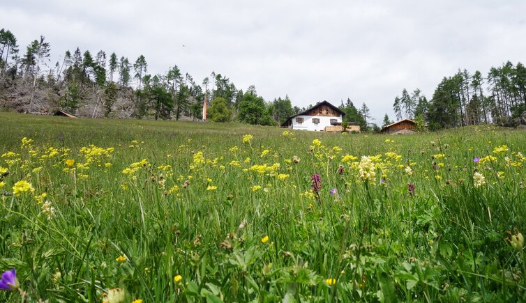
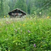
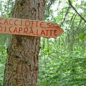
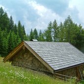
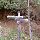
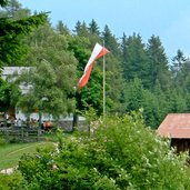
Image gallery: Hike via the Passo Cisa to the Malghette di Anterivo
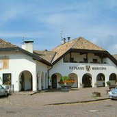
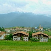
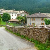
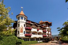
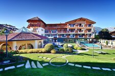
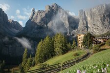
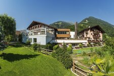
This hike in the surroundings of Anterivo (Altrei) takes us through the forests of the Monte Corno Nature Park. We start in the little village of Anterivo, where we park our car. Anterivo is the only German-speaking village of the Val di Fiemme valley and belongs, contrary to the rest of this valley, to the provide of South Tyrol. The road to this village in part stretches on the territory of the Trentino. We follow the path no. 3, leading past the Hotel Waldheim and a children's playground to a recreation area. From this place we continue to the Passo Cisa (Ziss-Sattel).
This mountain pass at 1,450 m a.s.l. is located along the European long-distance hiking trail E5, coming down from the Monte Corno (Trudner Horn). We take the path on the right (no. 9) and continue to the highest point, the Malghette di Anterivo, or Krabes Mountain Hut.
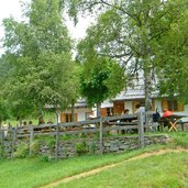
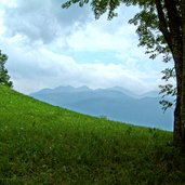
The highest point, even if it is one of the lowest mountain huts of South Tyrol, is located at 1,529 m a.s.l. This is a perfect place for a break, as it is a sunny place high above the Val di Fiemme valley. Afterwards we walk down on the path no. 6 (later no. 5), leading back to Anterivo.
Author: AT
-
- Starting point:
- Anterivo (village)
-
- Time required:
- 03:00 h
-
- Track length:
- 9,6 km
-
- Altitude:
- from 1.207 m to 1.544 m
-
- Altitude difference:
- +371 m | -371 m
-
- Signposts:
- 3, 9, 6, 5
-
- Resting points:
- Malghette (Krabes Alm)
-
- Recommended time of year:
- Jan Feb Mar Apr May Jun Jul Aug Sep Oct Nov Dec
-
- Download GPX track:
- Hike via the Passo Cisa to the Malghette di Anterivo
If you want to do this hike, we suggest you to check the weather and trail conditions in advance and on site before setting out.
