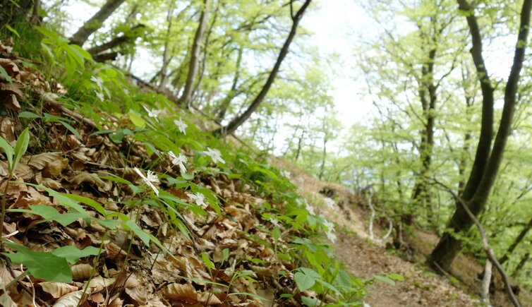
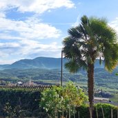
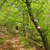
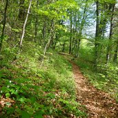
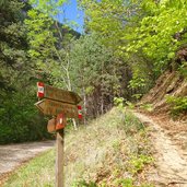
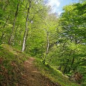
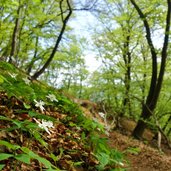
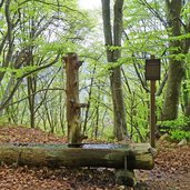
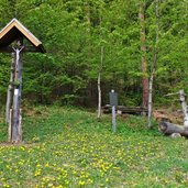
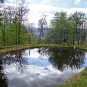
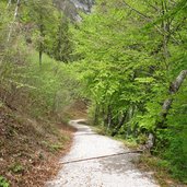
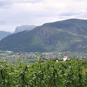
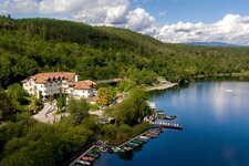
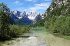
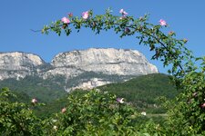
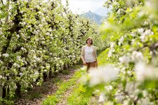
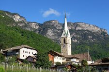
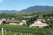
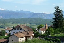
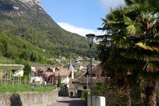
This beautiful spring hike proceeds under the green beech leaves in the forests around Caldaro to Appiano on the Wine Road
Image gallery: Spring hike along the Mendola Trail
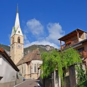
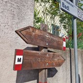
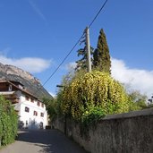
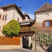
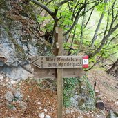
We start our spring hike along the Mendola Path (Mendelsteig) in Sant'Antonio (St. Anton), a district of Caldaro. The signpost "M" leads us past the church to the locality of Pozzo (Pfuss) and further on to the Mühlburg residence. We walk steeply uphill to the edge of the forest.
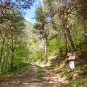
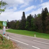
The Mendola Path proceeds to the Passo della Mendola at 1,363 m a.s.l., but we stay beneath - we've chosen the Zollwiese meadow at 1,000 m a.s.l. as highest point of our hike. From the meadow we continue our pleasant walk on the Boos forest path towards north. At the crossroads with the Mendola road SS42 near Masaccio (Matschatsch) we follow the asphalt road for 200 m uphill until the junction with the hiking path no. 7 on the right.
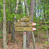
It leads us downhill to the Steinegger tavern. Following the signpost no. 540 we finally reach San Michele Appiano and take the bus back to our starting point in Sant'Antonio Caldaro.
Author: AT
-
- Starting point:
- San Antonio Caldaro (parking space and bus stop near the Mendola Funicular)
-
- Time required:
- 03:40 h
-
- Track length:
- 12,5 km
-
- Altitude:
- from 402 m to 989 m
-
- Altitude difference:
- +525 m | -636 m
-
- Signposts:
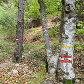
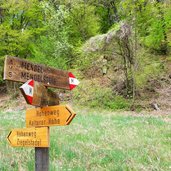
- "Alter Mendelsteig", M, Boos forest path, 7, 540
-
- Destination:
- San Michele Appiano
-
- Resting points:
- Steinegger
-
- Recommended time of year:
- Jan Feb Mar Apr May Jun Jul Aug Sep Oct Nov Dec
-
- Download GPX track:
- Spring hike along the Mendola Trail
If you want to do this hike, we suggest you to check the weather and trail conditions in advance and on site before setting out.
