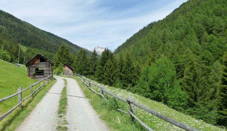
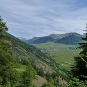
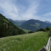
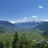
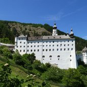
On the slope in the west of the Malles Heath, we walk on a wide forested trail through the Valle di Slingia valley up to the Benedictine Abbey of Monte Maria and Burgusio
Image gallery: Hours’ Trail, stage 2: Laudes - Monte Maria
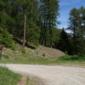
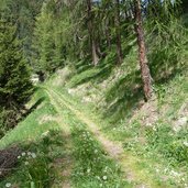
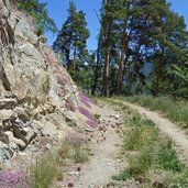
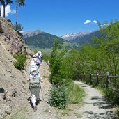
In Laudes (Laatsch), we walk up the forested trail marked 10B, leading us the way up to 1,260 m a.s.l., where the Stundenweg (Hours' Trail) starts, the course of which we follow towards north. Short after an ascent follows, the route branches to the left into the Valle di Slingia valley.
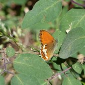
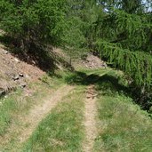
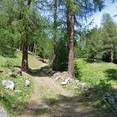
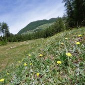
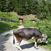
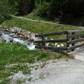
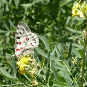
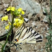
The landscape is varied, there are larch woods, pines and fir trees, and soon we reach extended meadows covered by flowers. After having traversed the Rio Slingia brook, our walk proceeds on the other side, out of the valley. Again the scenery changes, as the sun-drenched position of this slope favours larch forests to develop. Above all the next section above Clusio (Schleis) shows the arid side of the slopes in the Val Venosta valley, where the rocky slopes are in part quilted and only heat and drought resistant plants survive. For butterflies, however, this is a real paradise and their variety and plentiful appearance testifies that nature is still intact in this place. Apart from several wooden constructions, the entire course of the trail has so far stretched away from settlements.
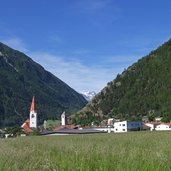
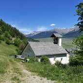
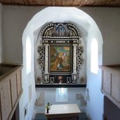
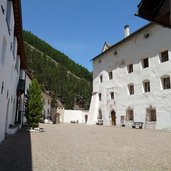
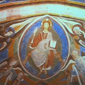
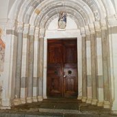
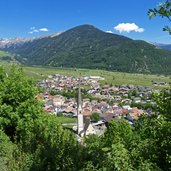
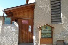
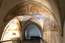
This changes now, as we cross the road of the valley. Short before we come by the little St. Stephan Church, where today there are the graves of the abbots of Monte Maria. Soon we also reach the beautiful abbey, in picturesque position at the edge of the forest, which is considered one of the symbols of the Upper Val Venosta. After a visit to the monastery museum and the Baroque church (where the crypt with Romanesque frescoes is no longer open to the public) of the Benedictine Abbey of Monte Maria, we take the Sonnensteig trail to walk down to Burgusio (Burgeis). By the way, also the trail no. 9 leads back to Laudes (also cycling trail). As an alternative, you can take the bus at the edge of the village, driving to the station of Malles.
Author: AT
-
- Starting point:
- Clusio near Malles
-
- Time required:
- 04:15 h
-
- Track length:
- 12,0 km
-
- Altitude:
- from 973 m to 1.487 m
-
- Altitude difference:
- +646 m | -343 m
-
- Route:
- Clusio - Burgusio bus station
-
- Signposts:
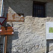
- 10B, Stundenweg - Senda clastras, Sonnensteig
-
- Destination:
- Burgusio
-
- Recommended time of year:
- Jan Feb Mar Apr May Jun Jul Aug Sep Oct Nov Dec
-
- Download GPX track:
- Hours’ Trail, stage 2: Laudes - Monte Maria
If you want to do this hike, we suggest you to check the weather and trail conditions in advance and on site before setting out.
