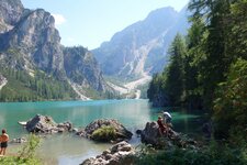
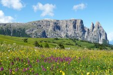
This hike leads from the idyllic Lake Anterselva through the woods near the border to East Tyrol
Image gallery: Hike from Lake Anterselva to the Malga Steinzger hut
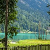
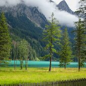
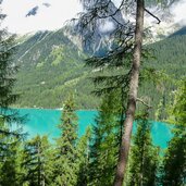
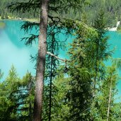
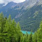
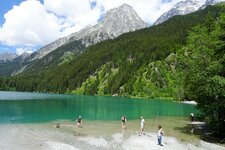
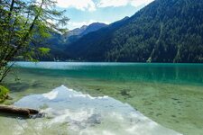
By public transport we travel to Lake Anterselva, the starting point of our hike to the Steinzger Mountain Hut. Passing the biathlon centre, we reach the lake and walk along its orographic left bank on the circular lake path. Again and again, the forest reveals a view on the shimmering turquoise water.
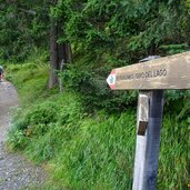
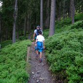
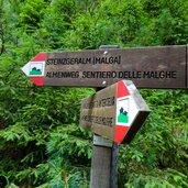
Soon a forest path branches off to the right towards the Steinzgeralm. We are now on the "Almenweg" path. While the path was flat until here, now it leads steeply uphill. The path ascends a good 200 metres through the coniferous forest until we reach a wider path that leads across alpine pastures to the mountain hut.
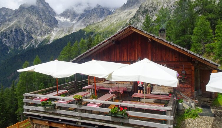
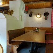
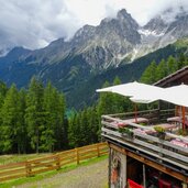
The Steinzger Alm is a cosy mountain hut with a small terrace. From here, Lake Anterselva can be recognised as a small blue spot in the distance. After lunch, we return to the starting point along the same route and take the bus out of the valley.
Author: AD
-
- Starting point:
- Bus Stop Lake Anterselva
-
- Time required:
- 02:00 h
-
- Track length:
- 5,8 km
-
- Altitude:
- from 1.629 m to 1.890 m
-
- Altitude difference:
- +304 m | -304 m
-
- Signposts:
- Steinzgeralm
-
- Destination:
- Steinzger Mountain Hut
-
- Resting points:
- Steinzgeralm Mountain Hut
-
- Recommended time of year:
- Jan Feb Mar Apr May Jun Jul Aug Sep Oct Nov Dec
-
- Download GPX track:
- Hike from Lake Anterselva to the Malga Steinzger hut
If you want to do this hike, we suggest you to check the weather and trail conditions in advance and on site before setting out.
