This hike leads from the car park of the Croda Rossa Cable Car through the woods up to the huts below Mt. Croda Rossa
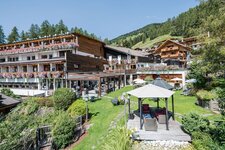
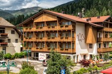
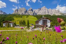
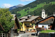
Image gallery: Hike to the Prati di Croda Rossa meadows
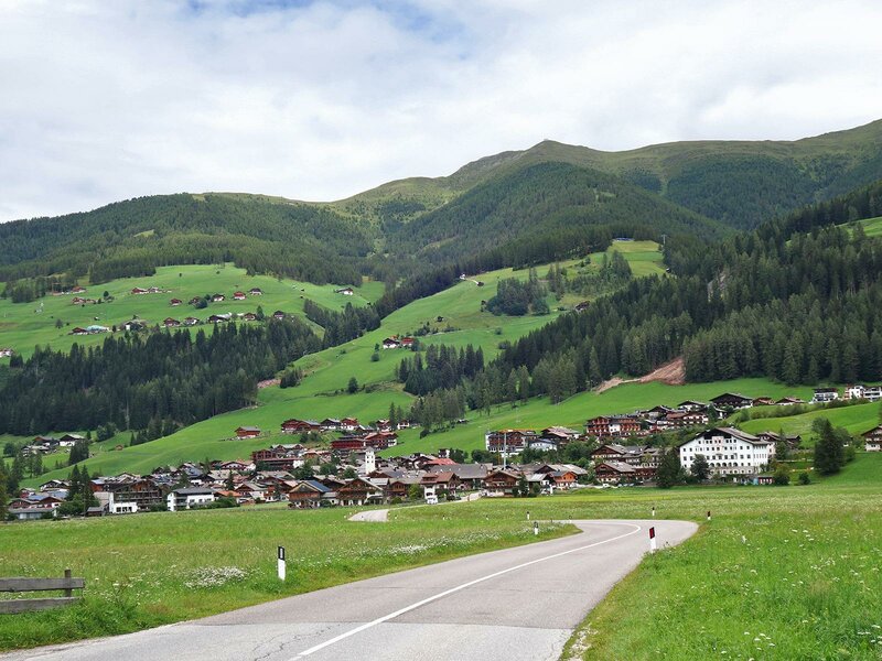
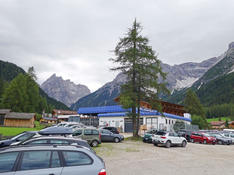
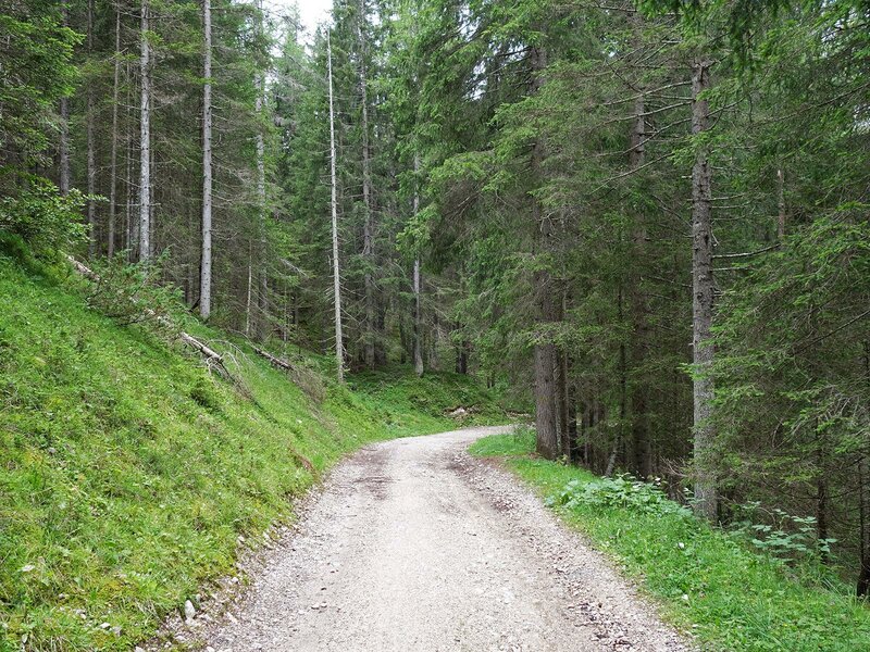
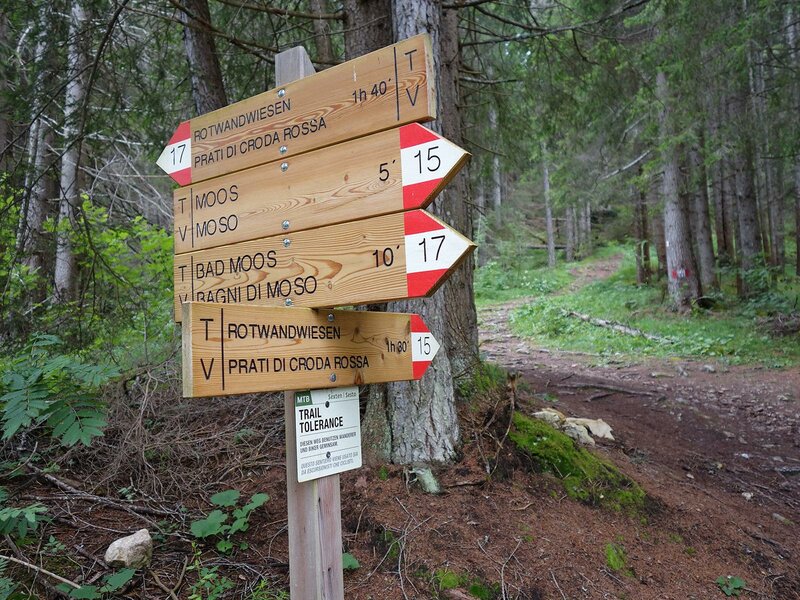
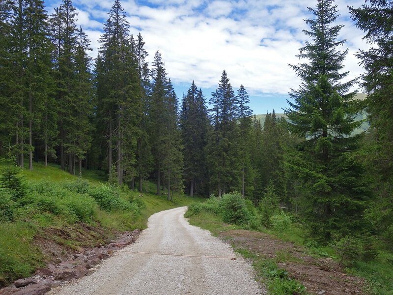
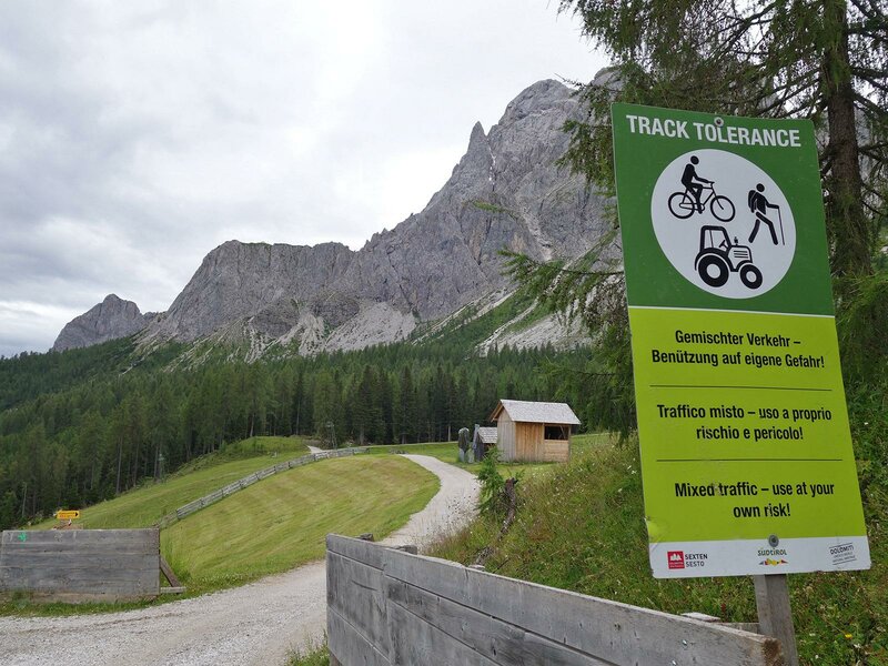
The Croda Rossa Meadows (Rotwandwiesen) are a popular destination in the Sesto Dolomites. At the entrance to the Val Fiscalina valley, not far from the village of Moso, lies the lower terminus of the Croda Rossa Cable Car (bus stop and car park available). Trail number 6B, a forestry road, starts right here and leads gently uphill through the woods. After half a kilometre, the route curves southwards, and shortly after, you have the choice of taking the woodland path number 15 or staying on the forestry road.
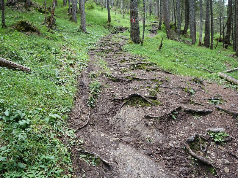
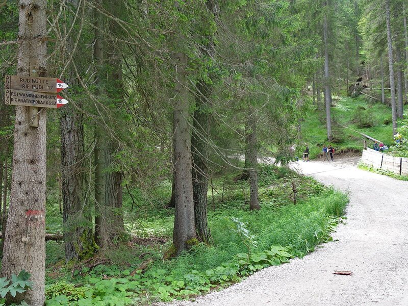
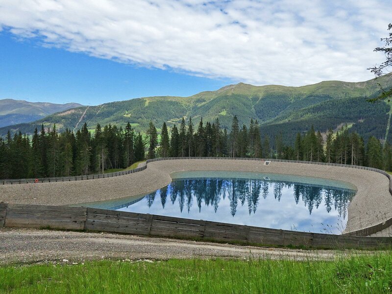
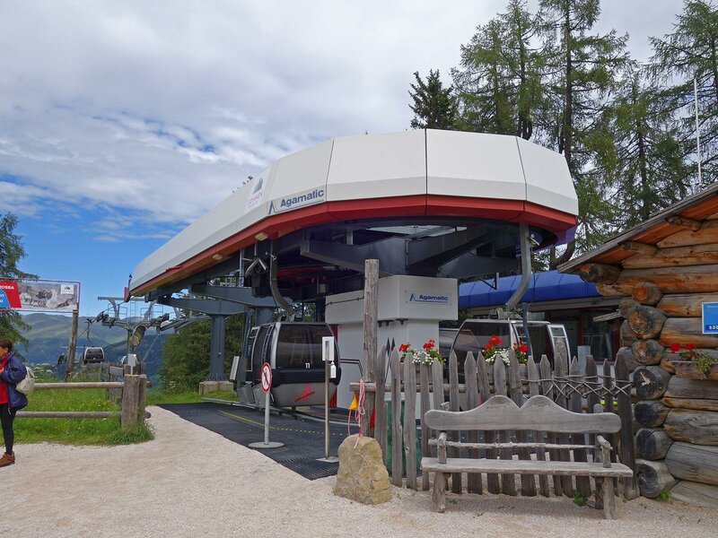
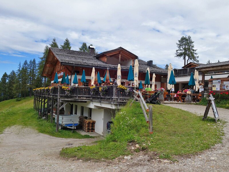
We opted for the shorter, slightly steeper woodland path. This takes you to a clearing, which is used as a ski slope in winter. After this, the path merges with the forestry road again. We now follow this to our destination. The route passes the Signaue Cable Car mountain station and a reservoir. After a few more bends, the forestry road reaches the Prati di Croda Rossa Mountain Hut, called Rotwandwiesenhütte, very close to the mountain station of the Croda Rossa Gondola.
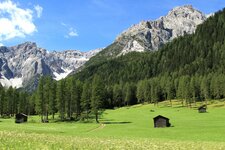
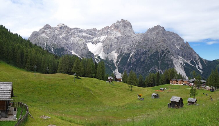
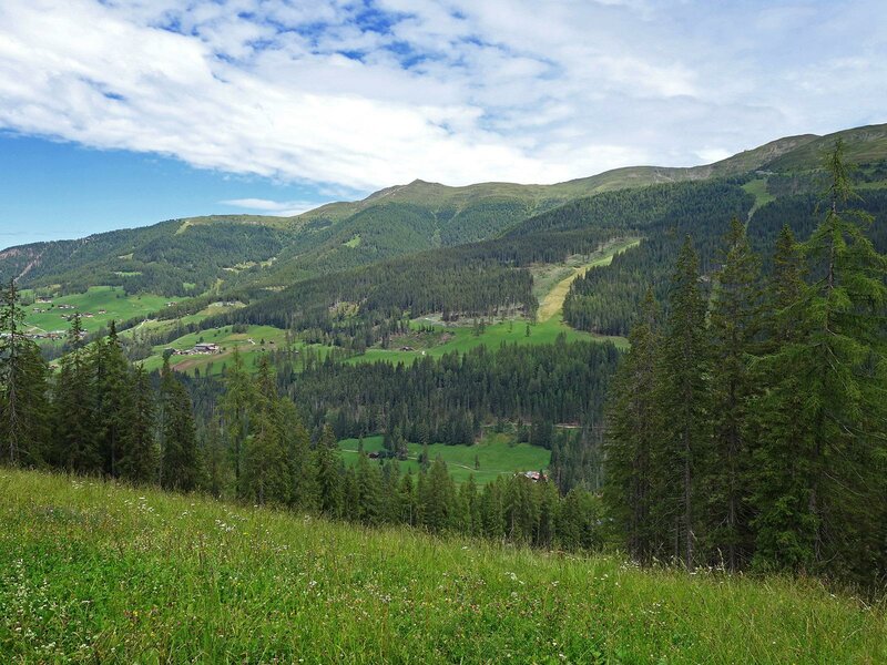
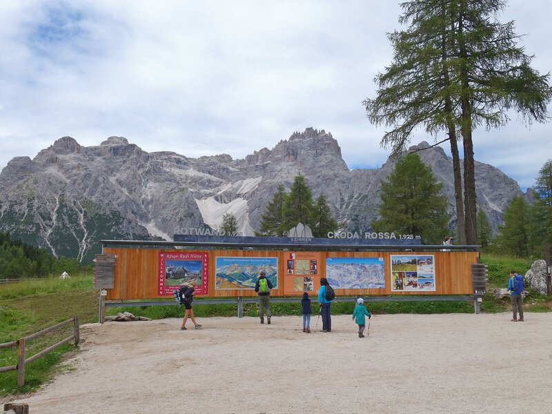
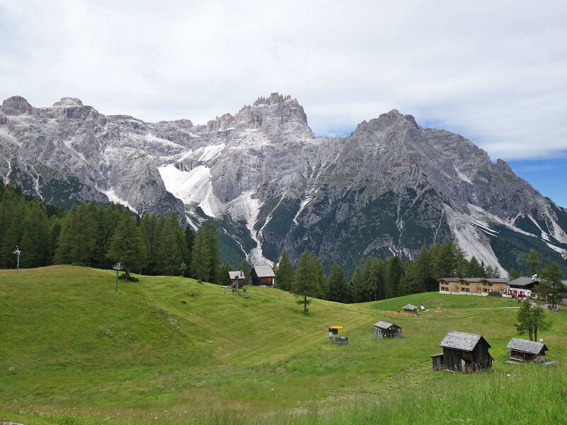
The Croda Rossa Meadows are a popular destination at an altitude of around 1900 metres for good reason. Here, besides the Prati di Croda Rossa Hut, you'll also find the Rudi Hut and a reindeer enclosure, particularly popular with children (Note: The reindeer herd has no longer been on the Croda Rossa since 2023). The view of the mountain and across the Val Fiscalina to the Punta dei Tre Scarperi, Sasso Vecchio, and Monte Casella peaks, is enchanting.
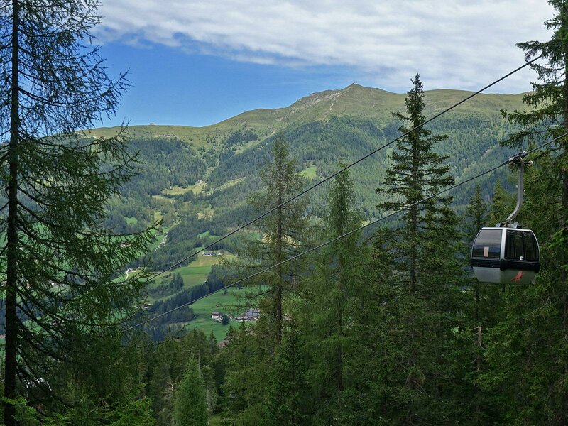
The hike isn't particularly strenuous. If you want to bring along friends who can't manage the 560-metre climb, they can take the Croda Rossa Cable Car, which goes directly from the start to the finish. You could always use it for either the ascent or descent. Otherwise, we recommend the same route for the descent.
Author: AT
-
- Starting point:
- Parking space near valley station of Croda Rossa / Rotwand cable car, Bad Moos / Sesto
-
- Time required:
- 03:15 h
-
- Track length:
- 9,4 km
-
- Altitude:
- from 1.353 m to 1.911 m
-
- Altitude difference:
- +574 m | -574 m
-
- Signposts:
- No. 6B, 15
-
- Destination:
- Prati di Croda Rossa / Rotwandwiesen meadows
-
- Resting points:
- Rudihütte mountain hut, Rotwandwiesen mountain hut
-
- Recommended time of year:
- Jan Feb Mar Apr May Jun Jul Aug Sep Oct Nov Dec
-
- Download GPX track:
- Hike to the Prati di Croda Rossa meadows
If you want to do this hike, we suggest you to check the weather and trail conditions in advance and on site before setting out.