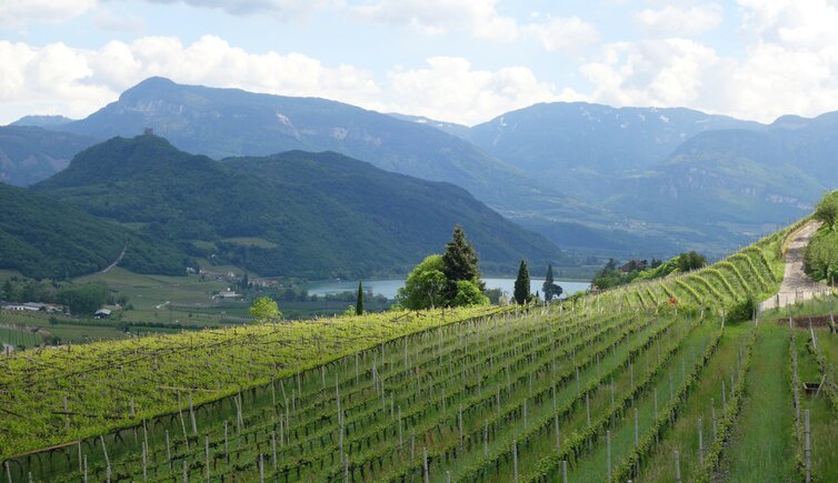
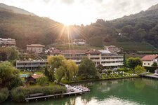
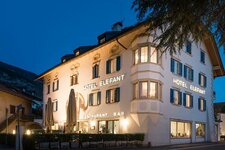
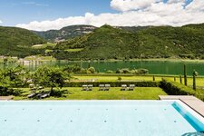
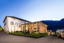
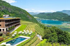
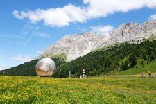
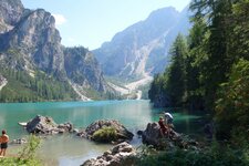
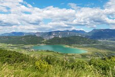
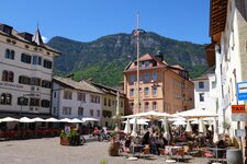
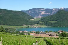
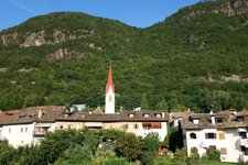
The Caldaro Wine Trail is a hike through the picturesque alleys of Caldaro and through the vineyards to Lake Caldaro
Image gallery: Caldaro Wine Trail
One of the many projects of the wein.kaltern initiative for a better understanding of wine culture is called the Wine Trail. It is a 9 km long theme trail that climbs 472 metres in altitude and leads through the historic vineyards of Caldaro to Pianizza di Sopra and Lake Caldaro. It is an easy hike that is pleasant in the Mediterranean climate of South Tyrol, especially in spring and autumn.
The Wine Trail leads you from the central Piazza dei Rottenburg square first towards Barleit and
San Giuseppe al Lago (no. 12 and 12A), and then via the Seerundweg path back to Caldaro village (no. 3). The individual names of the vineyards can be read on marble thresholds on the ground, some of them Rhaetian, some Romanesque: Vial and Prunar, Salt and Palurisch, Ölleiten and Puntara. And every now and then, a winery or a farm invites you to taste the good wine, or a resting place to enjoy the view. Walking time: approx. 2.5 hours.
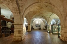
The wein.wegweiser brochure with background information and a list of the 68 wein.kaltern partners completes the experience. A further interesting complement is the visit to the South Tyrolean Wine Museum, the first Wine Museum on the southern side of the Alps.
-
- Starting point:
- Piazza dei Rottenburg square in Caldaro village
-
- Time required:
- 02:40 h
-
- Track length:
- 9,3 km
-
- Altitude:
- from 214 m to 454 m
-
- Altitude difference:
- +240 m | -240 m
-
- Signposts:
- no. 12, 12A, 10, 3
-
- Recommended time of year:
- Jan Feb Mar Apr May Jun Jul Aug Sep Oct Nov Dec
-
- Download GPX track:
- Caldaro Wine Trail
