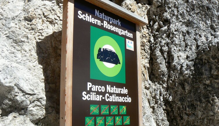
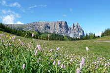
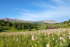
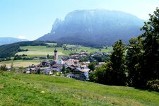
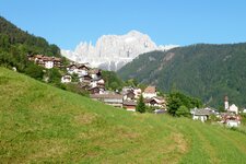
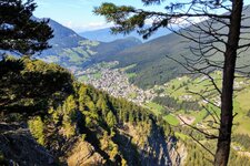
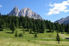
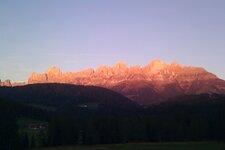
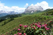
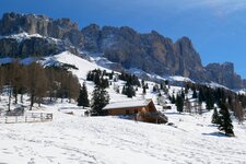
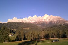
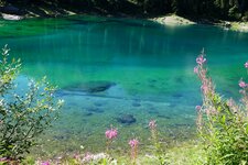
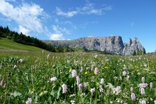
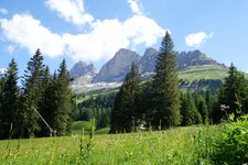
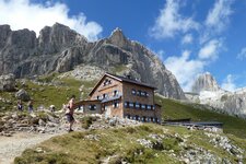
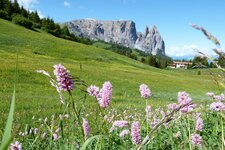
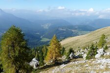
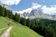
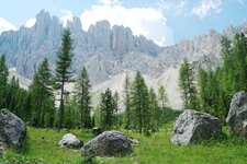
The Sciliar-Catinaccio Nature Park owes its name to South Tyrol’s emblem, the Sciliar Massif in the western Dolomites, and to the legendary Catinaccio Group
Image gallery: Sciliar-Catinaccio Nature Park
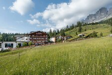
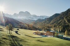
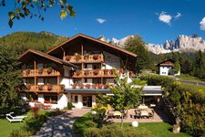
Together with the conservation area Siusi Alp, the large Sciliar-Catinaccio Nature Park (Naturpark Schlern-Rosengarten) is a coherent area in respect of natural conditions and landscape. The protected zone was founded in 1974 around the Sciliar Massif, which gave it its name - with the two peaks Cima Santner and Cima Euringer it is considered to be the landmark of South Tyrol. Three decades later, the area of the nature reserve has been enlarged: Also the Catinaccio Group is now included. Therefore, the nature park covers today more than 7,000 hectares and the three municipalities of Castelrotto, Fiè allo Sciliar and Tires, and offers two information points.
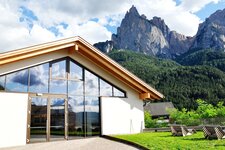
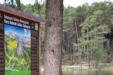
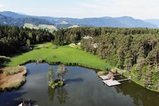
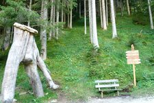
Besides the new visitor centre in Siusi allo Sciliar there are also the freely accessible information point near the Fiè Pond and the one in the old sawmill in Bagni di Lavina Bianca. Two nature trails snake their way through the Sciliar-Catinaccio Nature Park: The 9.5 km long Geologists Trail takes you from Bagni di Razzes to the Prossliner Hut. The circular path shows the fascinating world of geology: From a geological point of view, it is extremely valuable. The Oswald von Wolkenstein Path with its 15 stations, however, can be found in the Castelvecchio Forest near Siusi allo Sciliar.
Founded in: 1974
Surface: 7,291 hectares
Altitude difference: 2,156 metres
Area: western South Tyrolean Dolomites, Alpe di Siusi
Visitor centre: in Siusi allo Sciliar, information points at the Fiè Pond and in Bagni di Lavina Bianca
