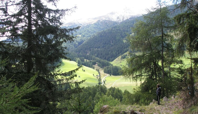
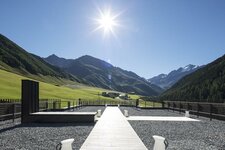
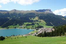
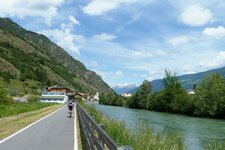
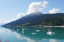
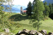
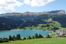
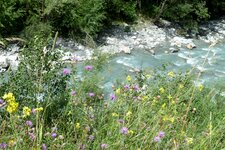
About a 10-minute walk from the village of Resia, one of Italy’s longest rivers has its source at 1,550 m a.s.l
Image gallery: Source of the Adige River
About an hour is the duration of the round hike which leads from the centre of the village of Resia to the source of the Adige River, the Etschquelle. The thin trickle which is the destination of this hike is not very impressive without an explanation. However, a stone slab indicates that the Adige River rises here at 1,550 metres a.s.l. As a small stream, it then flows clearly visible down the meadow slope until it turns into the largest river of South Tyrol and one of the longest of Italy.
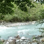
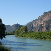
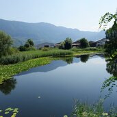
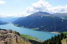
The place is well visited, and if you think of the course of the Adige here, you can take a long journey: From Lake Resia, it runs through the entire Val Venosta valley and the Merano area to the provincial capital of Bolzano. There, the river sets course towards south and flows through the Trentino and the Po Basin in Upper Italy. After a 415 km long journey, which makes it the second longest river of Italy, it finally flows into the Adriatic Sea south of the Venetian Lagoon. Like the source, the mouth in the region of Veneto can also be reached in a short hike.
The Adige also forms the watershed with the Stillebach stream, towards the Inn and the Danube, between the Adriatic and the Black Sea. You may follow the course of the Adige River by doing, for example, the hike along the wild Adige River in the Val Venosta or by choosing a bike tour along the Val Venosta Cycle Path towards Merano. By the way: "Secrets of the Adige" is the name of a classic for wind orchestra - the waltz from 1932 was written by the Italian composer Felice Carena.
Contact info
- Val Venosta High Route - 39027 - Resia/Curon Venosta / Reschen/Graun
- +39 0473 633101
- info@reschenpass.it
Opening times
Always open
Admission
freely accessible
More information
Recommended as hiking destination from May to October.
