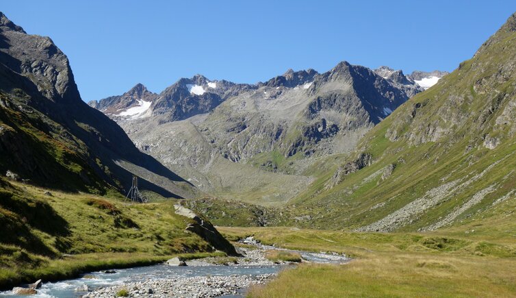
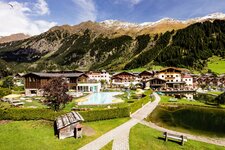
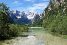
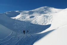
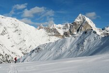
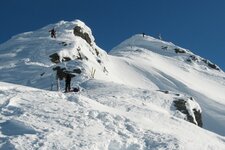
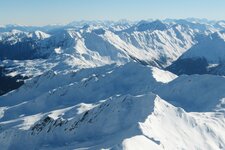
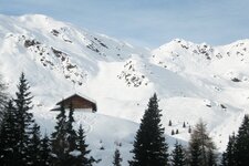
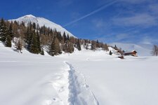
The mountain chain of the Stubai Alps stretches south-west of Innsbruck and covers the area between the upper Valle Isarco valley in South Tyrol and the Oetztal valley in North Tyrol
Image gallery: Stubai Alps
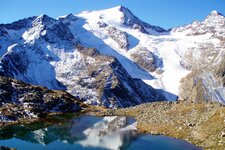
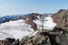
The Stubai and Oetztal Alps together represent the largest mass elevation of the Eastern Alps. It is an area that is covered by glaciers. The highest peak of the Stubai Alps is Mt. Pan di Zucchero (3,507 m a.s.l.), which is characterised by its elegant form, whereas the southernmost part is the Cresta del Giovo ridge between the Upper Valle Isarco and the Val Passiria. Other giants that rise more than 3,400 m a.s.l. into the sky, are Mt. Schrankogel, Mt. Cima del Prete and Mt. Cima Libera. This mountain chain, made up of gneiss and limestone, is surrounded by the Tux, Zillertal, Oetztal and Sarentino Alps as well as the Mieming Range and the Karwendel Mountains.
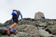
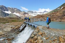
The Stubai Alps owe their name to the eponymous valley in North Tyrol where also the largest glacial skiing area of Austria can be found: the Stubai Glacier which is open most of the year. For all those who love high alpine tours in summer as well as ski mountaineering in winter, the Stubai Alps or Stubaier Alpen are a real paradise. A very popular destination for hikes on South Tyrolean territory is the Gino Biasi al Bicchiere Mountain Hut (3,195 m a.s.l.), the highest located mountain hut of South Tyrol. This mountain tour of 11 hours in total starts in the hamlet of Masseria in the Upper Val Ridanna. In winter, the ski tours to Mount Muro di Fleres, to Mount Cima del Tempo and to Mount Altacroce are unforgettable experiences in the South Tyrolean part of the Stubai Alps.
- Highest peak: Mt. Pan di Zucchero (3,507 m a.s.l.), first ascent in 1863 by Joseph Anton Specht and Alois Tanzer
- Most significant mountains: Mt. Schrankogel, Mt. Cima del Prete, Mt. Cima Libera, Mt. Wilde Leck, Mt. Stubaier Wildspitze, Mt. Habicht, Mt. Tribulaun di Fleres, Mt. Gamskogel, Mt. Serles
- Area: North Tyrol (Austria) and South Tyrol (Italy)
