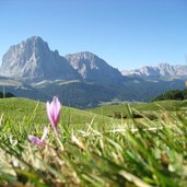
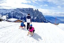
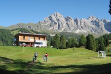
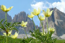
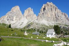
The Sassolungo Group is situated between the Val Gardena and Val di Fassa valleys, the Sella Group and Mt. Catinaccio
Image gallery: Sassolungo Group
This mountain range in the western Dolomites, also known as Langkofel Group, is located between the Val Gardena and the area of the Siusi Alp. It is allocated in a circular arc, opened towards north west, and forms kind of an "inner yard". It originated about 230 million years ago - famous in this area is the "Città dei Sassi" (City of Stones) at the foot of the Sassolungo Group with its rich flora and fauna. The mountain group consists of the following peaks in clockwise direction: Mt. Sassolungo (3,181 m a.s.l.), Mt. Spallone del Sassolungo (south-eastern peak of the Sassolungo), the Punta delle Cinque Dita (2,996 m a.s.l.), the Punta Grohmann (or Sasso di Levante, 3,126 m a.s.l.), the Innerkofler Pinnacle (3,081 m a.s.l.), Mt. Dente and Mt. Sasso Piatto (2,969 m a.s.l.).
Particularly the Sassolungo and the Sasso Piatto are perfect for mountain tours and can also be surrounded on foot. The highest peak (and name-giving) is the Sassolungo or Langkofel. Worthwhile is the hike across the Sassolungo Group, starting from the Passo Sella Hut and passing by the Sassolungo Saddle, the Vicenza and the Marmotte Mountain Huts and the Jender Valley, until reaching Santa Cristina Valgardena. This hike is quite exhausting despite a low altitude difference. The hike that shows you the "City of Stones", however, leads to the Toni Demetz Hut.


