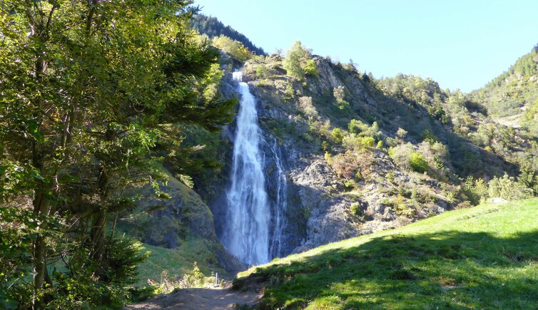
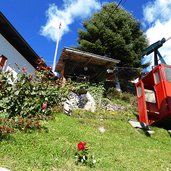
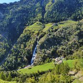
Via the Montesole of Parcines to Tablà and further on to the famous natural monument in the Valle di Tel, the Parcines Waterfall
Image gallery: Hike to the Parcines Waterfall
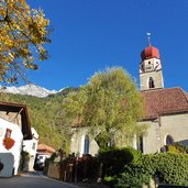
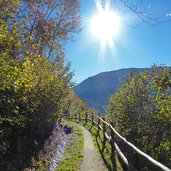
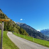
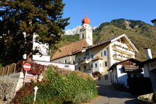
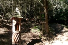
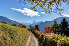
It is a sunny autumn day, on which we decide to do walk on the Montesole of Parcines, to the impressive waterfall of the village. The centre of Parcines, we walk along the road to the Valle di Tel, then we take the right and follow the signpost to the so-called Waalweg of Parcines. After almost one km, on the left the path to Tablà branches off (signpost "Sagenweg").
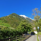
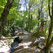
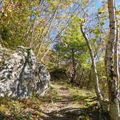
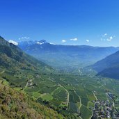
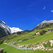
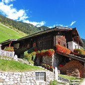
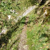
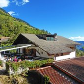
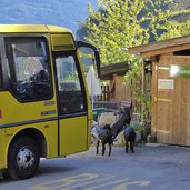
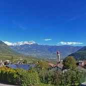
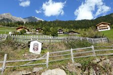
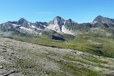
The narrow, partially steep hiking trail takes us through a broad-leaf forest and mixed forest and finally to the mountain village of Tablà at the Montesole (Sonnenberg). At the Prünster Tavern, we make a break and enjoy the sunny view of the valley and the foothills of the Ortles Alps, located on the opposite side of the valley. Then we follow the signpost "Wasserfall" (waterfall).
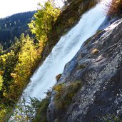
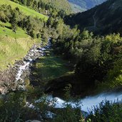
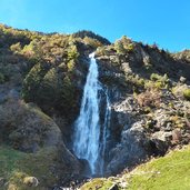
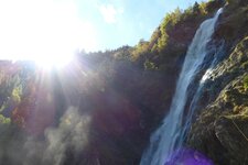
We proceed the way down into the Valle di Tel, up to the Wasserfall Tavern. From this place, only a few minutes to the viewpoint, directly under the almost 100 m high waterfall, are left. In order to conclude our round tour, we walk the direct path down to Parcines (the lower part proceeds on the asphalted road), past the high-rope course and the chestnut trees in the vicinity of the village.
Author: AT
-
- Starting point:
- Parcines (village centre)
-
- Time required:
- 03:00 h
-
- Track length:
- 7,9 km
-
- Altitude:
- from 643 m to 1.203 m
-
- Altitude difference:
- +619 m | -619 m
-
- Signposts:
- waterfall, "Partschinser Waalweg", "Sagenweg", 1, 23, "Wasserfall", 8b, 8, 1
-
- Resting points:
- Prünster, Gasthof Wassrfall, Birkenwald
-
- Recommended time of year:
- Jan Feb Mar Apr May Jun Jul Aug Sep Oct Nov Dec
-
- Download GPX track:
- Hike to the Parcines Waterfall
If you want to do this hike, we suggest you to check the weather and trail conditions in advance and on site before setting out.
