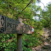
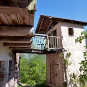
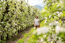
The ancient pilgrimage path from Laives up to the worldwide known Monastery of Pietralba is a real hiking highlight
Image gallery: Hike on the pilgrimage path to Pietralba
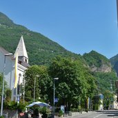
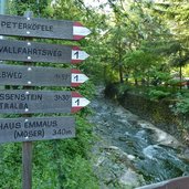
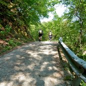
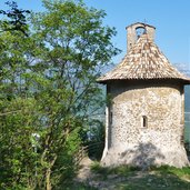
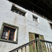
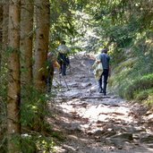
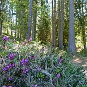
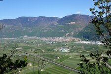
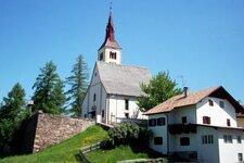
We start at the church of Laives, proceeding along the road until the bridge near the house "Emmaus", where the actual pilgrimage path starts. The first section through the forest up to the Franzenberg mountain is quite rough, then an asphalted part until the small church of San Pietro (St. Peter am Kofel) follows, which is the landmark of Laives. From here the path winds up to the Franzenberg mountain along the pilgrimage stations until the former guest house "Halbweg".
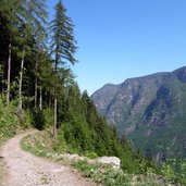
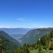
Now we have reached an altitude of 1,000 metres, much of the ascent is managed. After a flat section a steep one follows again, we walk along the hillside of the Brantental valley until the guest house "Munter" (three-quarters of the hike is done).
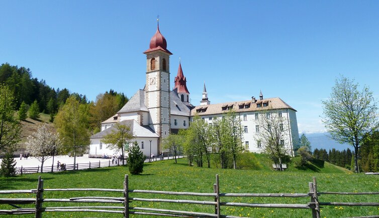
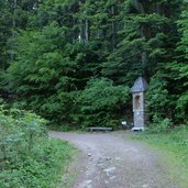
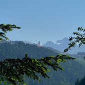
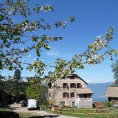
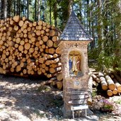
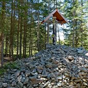
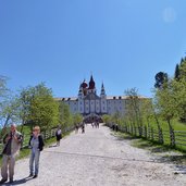
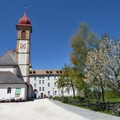
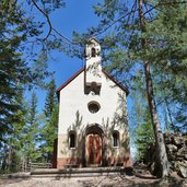
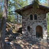
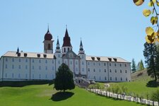
Here we cross the road to Nova Ponente (Deutschnofen) in order to climb up the last part of our hike. We pass a high pile of stones which were carried up by pilgrims all the steep path to do penance, an old rite. And suddenly, out of the woods, the gorgeous monastery complex is in front of us, located amidst an alpine meadow. After a visit to the monastery and a deserved rest in the guest house we also want to watch the hermitage of Leonardo (15 minutes walk). Amidst the forest we find small huts and a chapel, dedicated to the founder of the monastery, the farmer Leonhard Weißensteiner: here the Blessed Virgin Mary appeared to him.
Author: AT
-
- Starting point:
- Laives (church)
-
- Time required:
- 04:20 h
-
- Track length:
- 10,7 km
-
- Altitude:
- from 254 m to 1.521 m
-
- Altitude difference:
- +1299 m | -29 m
-
- Signposts:
- Via Pietralba, no. 1
-
- Destination:
- Pietralba / Weissenstein. To get back, you may use the public bus.
-
- Recommended time of year:
- Jan Feb Mar Apr May Jun Jul Aug Sep Oct Nov Dec
-
- Download GPX track:
- Hike on the pilgrimage path to Pietralba
If you want to do this hike, we suggest you to check the weather and trail conditions in advance and on site before setting out.
